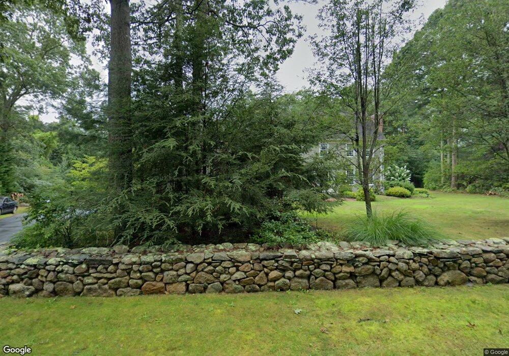
4 Appletree Ln Westport, MA 02790
North Westport NeighborhoodEstimated Value: $794,000 - $1,057,000
4
Beds
1
Bath
3,526
Sq Ft
$267/Sq Ft
Est. Value
About This Home
This home is located at 4 Appletree Ln, Westport, MA 02790 and is currently estimated at $940,728, approximately $266 per square foot. 4 Appletree Ln is a home located in Bristol County with nearby schools including Alice A. Macomber Primary School, Westport Elementary School, and Westport Middle-High School.
Ownership History
Date
Name
Owned For
Owner Type
Purchase Details
Closed on
Feb 3, 2021
Sold by
Stpierre Robert A and Stpierre Kathleen M
Bought by
Stpierre Lt
Current Estimated Value
Purchase Details
Closed on
Dec 12, 1994
Sold by
Equitable North Rt and Carrigg Paul T
Bought by
Stpierre Robert A and Stpierre Kathleen M
Create a Home Valuation Report for This Property
The Home Valuation Report is an in-depth analysis detailing your home's value as well as a comparison with similar homes in the area
Home Values in the Area
Average Home Value in this Area
Purchase History
| Date | Buyer | Sale Price | Title Company |
|---|---|---|---|
| Stpierre Lt | -- | None Available | |
| Stpierre Robert A | $72,000 | -- |
Source: Public Records
Mortgage History
| Date | Status | Borrower | Loan Amount |
|---|---|---|---|
| Previous Owner | Stpierre Robert A | $322,700 |
Source: Public Records
Tax History Compared to Growth
Tax History
| Year | Tax Paid | Tax Assessment Tax Assessment Total Assessment is a certain percentage of the fair market value that is determined by local assessors to be the total taxable value of land and additions on the property. | Land | Improvement |
|---|---|---|---|---|
| 2025 | $5,840 | $783,900 | $210,400 | $573,500 |
| 2024 | $5,839 | $755,400 | $194,900 | $560,500 |
| 2023 | $5,854 | $717,400 | $185,600 | $531,800 |
| 2022 | $5,512 | $656,300 | $185,600 | $470,700 |
| 2021 | $3,148 | $639,400 | $168,700 | $470,700 |
| 2020 | $5,334 | $632,700 | $162,000 | $470,700 |
| 2019 | $5,037 | $609,100 | $162,000 | $447,100 |
| 2018 | $2,381 | $578,800 | $165,100 | $413,700 |
| 2017 | $4,589 | $575,800 | $165,100 | $410,700 |
| 2016 | $4,207 | $531,800 | $165,100 | $366,700 |
| 2015 | $4,135 | $521,400 | $168,800 | $352,600 |
Source: Public Records
Map
Nearby Homes
- 27 Dias Ave
- 96 Forge Rd
- 29 Union Ave
- 16 S Berryman St
- 15 S Breault St
- 3 Roller Coaster Way Unit Lot 1
- 9 Kyle Jacob Rd
- 461 Reed Rd
- 4 Main Rd
- 565 Highland Ave
- 0 Van Buren St
- 735 Reed Rd
- 56 Lakeside Ave
- 116 Gifford Rd
- 55 Lakeside Ave
- 818 Reed Rd
- 20 Faulkner St
- 47 Fallon Dr
- Lot 0 Marcotte
- 771 Sanford Rd
- 6 Appletree Ln
- 15 Fieldstone Dr
- 2 Appletree Ln
- 59 Forsythia Ln
- 49 Forsythia Ln
- 7 Winterberry Ln
- 1 Winterberry Ln
- 5 Appletree Ln
- 1 Appletree Ln
- 15 Winterberry Ln
- 16 Fieldstone Dr
- 20 Fieldstone Dr
- 8 Fieldstone Dr
- 2 Fieldstone Dr
- 52 Forsythia Ln
- 58 Forsythia Ln
- 30 Fieldstone Dr
- 64 Forsythia Ln
- 47 Forsythia Ln
- 48 Forsythia Ln