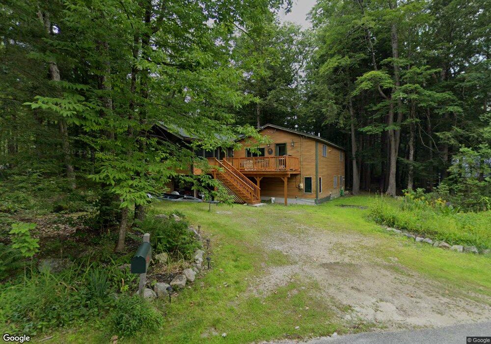
4 Arrowhead Rd Bridgton, ME 04009
Estimated Value: $393,000
--
Bed
--
Bath
768
Sq Ft
$512/Sq Ft
Est. Value
About This Home
This home is located at 4 Arrowhead Rd, Bridgton, ME 04009 and is currently estimated at $393,000, approximately $511 per square foot. 4 Arrowhead Rd is a home with nearby schools including Lake Region High School.
Ownership History
Date
Name
Owned For
Owner Type
Purchase Details
Closed on
Aug 10, 2021
Sold by
Moose Pond Rt and Brooks
Bought by
Hall Dana C and Hall Erin A
Current Estimated Value
Home Financials for this Owner
Home Financials are based on the most recent Mortgage that was taken out on this home.
Original Mortgage
$243,750
Outstanding Balance
$221,644
Interest Rate
2.9%
Mortgage Type
Purchase Money Mortgage
Estimated Equity
$171,356
Purchase Details
Closed on
May 29, 2012
Sold by
Hutchins Ann M
Bought by
Moose Pond Rt and Brooks
Home Financials for this Owner
Home Financials are based on the most recent Mortgage that was taken out on this home.
Original Mortgage
$160,000
Interest Rate
3.88%
Mortgage Type
New Conventional
Create a Home Valuation Report for This Property
The Home Valuation Report is an in-depth analysis detailing your home's value as well as a comparison with similar homes in the area
Home Values in the Area
Average Home Value in this Area
Purchase History
| Date | Buyer | Sale Price | Title Company |
|---|---|---|---|
| Hall Dana C | -- | None Available | |
| Moose Pond Rt | -- | -- |
Source: Public Records
Mortgage History
| Date | Status | Borrower | Loan Amount |
|---|---|---|---|
| Open | Hall Dana C | $243,750 | |
| Previous Owner | Moose Pond Rt | $160,000 |
Source: Public Records
Tax History Compared to Growth
Tax History
| Year | Tax Paid | Tax Assessment Tax Assessment Total Assessment is a certain percentage of the fair market value that is determined by local assessors to be the total taxable value of land and additions on the property. | Land | Improvement |
|---|---|---|---|---|
| 2024 | $2,791 | $163,710 | $60,100 | $103,610 |
| 2023 | $2,816 | $163,710 | $60,100 | $103,610 |
| 2022 | $2,488 | $163,710 | $60,100 | $103,610 |
| 2021 | $2,420 | $163,493 | $60,100 | $103,393 |
| 2020 | $2,444 | $163,493 | $60,100 | $103,393 |
| 2019 | $2,452 | $163,493 | $60,100 | $103,393 |
| 2018 | $2,420 | $163,493 | $60,100 | $103,393 |
| 2017 | $2,501 | $163,493 | $60,100 | $103,393 |
| 2016 | $2,428 | $163,493 | $60,100 | $103,393 |
| 2015 | $2,853 | $207,496 | $104,200 | $103,296 |
| 2014 | $2,917 | $207,496 | $104,200 | $103,296 |
Source: Public Records
Map
Nearby Homes
- 10 N Bay Rd
- 188 Knights Hill Rd
- 5 Elk Ln
- 11 Campbell Dr
- 4 Mountain Rd Unit 4
- 144 Kezar Heights
- 97 Kezar Heights
- 28 Colony Ln
- Lot 3 Jameson Dr
- 31 Helena Way
- Lot 1 Whitney Rd
- 699 N North High St
- 6 E Pinnacle Rd Unit 6
- Map20Lot19 Carter Hill Rd
- 17 Dyvonne Terrace
- 665 N High St
- 720 Bridgton Rd
- 1376 Bridgton Rd
- 518 Bridgton Rd
- 260 Hio Ridge Rd
- 0 Arrowhead Rd Unit 268555
- 0 Arrowhead Rd Unit 733409
- 0 Arrowhead Rd Unit 301371
- 0 Arrowhead Rd Unit 935352
- 0 Arrowhead Rd Unit 988131
- 0 Arrowhead Rd Unit 1034156
- 1 Abenaki Rd
- 0 Abenaki Rd
- 25 Abenaki Rd
- 5 Arrowhead Rd
- 20 Abenaki Rd
- 49 N Bay Rd
- 24 Abenaki Rd
- 18 Abenaki Rd
- 15 Arrowhead Rd
- Lot 39 N Bay Rd
- 11 Arrowhead Rd
- 24 Arrowhead Rd
- 37 N Bay Rd
- 19 Arrowhead Knights Hill