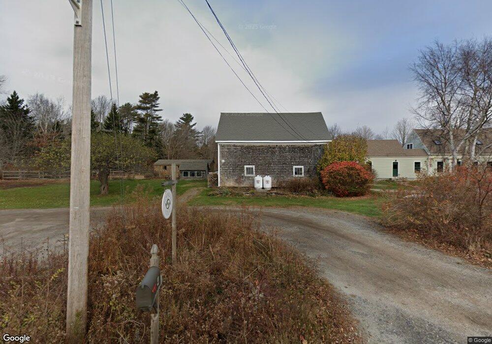
4 Ash Point Rd Harpswell, ME 04079
Harpswell Neck NeighborhoodEstimated Value: $651,000 - $823,000
3
Beds
3
Baths
3,199
Sq Ft
$222/Sq Ft
Est. Value
About This Home
This home is located at 4 Ash Point Rd, Harpswell, ME 04079 and is currently estimated at $711,314, approximately $222 per square foot. 4 Ash Point Rd is a home located in Cumberland County with nearby schools including Mt Ararat High School.
Ownership History
Date
Name
Owned For
Owner Type
Purchase Details
Closed on
Aug 1, 2008
Sold by
Smith John O and Egan Nancy
Bought by
Douglas Craig W and Douglas Kara L
Current Estimated Value
Home Financials for this Owner
Home Financials are based on the most recent Mortgage that was taken out on this home.
Original Mortgage
$34,800
Interest Rate
6.4%
Mortgage Type
Unknown
Create a Home Valuation Report for This Property
The Home Valuation Report is an in-depth analysis detailing your home's value as well as a comparison with similar homes in the area
Home Values in the Area
Average Home Value in this Area
Purchase History
| Date | Buyer | Sale Price | Title Company |
|---|---|---|---|
| Douglas Craig W | -- | -- |
Source: Public Records
Mortgage History
| Date | Status | Borrower | Loan Amount |
|---|---|---|---|
| Open | Douglas Craig W | $278,000 | |
| Closed | Douglas Craig W | $34,800 | |
| Closed | Douglas Craig W | $278,400 | |
| Closed | Douglas Craig W | $34,800 |
Source: Public Records
Tax History
| Year | Tax Paid | Tax Assessment Tax Assessment Total Assessment is a certain percentage of the fair market value that is determined by local assessors to be the total taxable value of land and additions on the property. | Land | Improvement |
|---|---|---|---|---|
| 2024 | $2,481 | $390,100 | $66,800 | $323,300 |
| 2023 | $2,380 | $390,100 | $66,800 | $323,300 |
| 2022 | $2,302 | $390,100 | $66,800 | $323,300 |
| 2021 | $2,193 | $324,400 | $61,600 | $262,800 |
| 2020 | $2,186 | $324,400 | $61,600 | $262,800 |
| 2019 | $2,173 | $324,400 | $61,600 | $262,800 |
| 2018 | $2,102 | $324,400 | $61,600 | $262,800 |
| 2017 | $2,096 | $324,400 | $61,600 | $262,800 |
| 2016 | $2,076 | $324,400 | $61,600 | $262,800 |
| 2015 | $1,961 | $314,200 | $61,600 | $252,600 |
| 2013 | $1,816 | $314,200 | $61,600 | $252,600 |
Source: Public Records
Map
Nearby Homes
- 31 Goose Ledge Rd
- 1 Mallard Pond Rd
- 19 Hugh Ave
- Lot 2B Allen Point Rd
- 0 Bayview Rd Unit 2 1632776
- lot C Long Point Rd
- 71 Merganser Way
- 83 Central Ave
- 70 Maquoit Dr
- 30 Driftwood Tide Ln
- Map 80 Lot 18-0 White Island
- 10 Lower Flying Point Rd
- 853 Mere Point Rd
- 52 Birch Point Rd
- 10 Shore View Dr
- 51 Oakland Ave
- 4 Osprey Ridge Rd
- 29 S Freeport Rd
- 0 Gundalo Gap Rd Unit 1638108
- 6 Daybreak Ln Unit 18
- 0 Ash Point Rd
- 00 Ash Point Rd
- 0 Ash Point
- LOT 0 Ash Point Rd
- 1a Ash Point
- 1b Ash Point
- LOT191-1 Ash Point Rd
- 1597 Harpswell Neck Rd
- 1637 Harpswell Neck Rd
- 1588 Harpswell Neck Rd
- 0 Williams Rd
- 1605 Harpswell Neck Rd
- 16 & 18 Ash Point Rd
- 16 Ash Point Rd Unit 16
- 20 Ash Point Rd
- 1580 Harpswell Neck Rd
- 22 Ash Point Rd
- 1573 Harpswell Neck Rd
- 1591 Harpswell Neck Rd
- 0 Shady Acres
Your Personal Tour Guide
Ask me questions while you tour the home.