4 Ashley Rd Whiting, NJ 08759
Estimated Value: $310,000 - $345,000
2
Beds
2
Baths
1,826
Sq Ft
$179/Sq Ft
Est. Value
About This Home
This home is located at 4 Ashley Rd, Whiting, NJ 08759 and is currently estimated at $326,822, approximately $178 per square foot. 4 Ashley Rd is a home located in Ocean County with nearby schools including Manchester Township High School.
Ownership History
Date
Name
Owned For
Owner Type
Purchase Details
Closed on
Apr 15, 2025
Sold by
Ascione Joseph C and Ascione Susan A
Bought by
Ikan Ruth
Current Estimated Value
Purchase Details
Closed on
Nov 9, 2005
Sold by
Shultz Jean M
Bought by
Ascione Joseph C and Ascione Susan A
Purchase Details
Closed on
May 6, 2004
Sold by
Warner Gertrude C and Kostas Ruth I
Bought by
Shultz Harvey and Shultz Jean M
Purchase Details
Closed on
Oct 24, 1997
Sold by
Schuetz Helen
Bought by
Warner Harry W and Warner Gertrude C
Create a Home Valuation Report for This Property
The Home Valuation Report is an in-depth analysis detailing your home's value as well as a comparison with similar homes in the area
Home Values in the Area
Average Home Value in this Area
Purchase History
| Date | Buyer | Sale Price | Title Company |
|---|---|---|---|
| Ikan Ruth | $290,000 | Worldwide Title | |
| Ikan Ruth | $290,000 | Worldwide Title | |
| Ascione Joseph C | $220,000 | Stewart Title Guaranty Co | |
| Shultz Harvey | $170,000 | -- | |
| Warner Harry W | $112,000 | -- |
Source: Public Records
Tax History
| Year | Tax Paid | Tax Assessment Tax Assessment Total Assessment is a certain percentage of the fair market value that is determined by local assessors to be the total taxable value of land and additions on the property. | Land | Improvement |
|---|---|---|---|---|
| 2025 | $4,752 | $326,600 | $57,400 | $269,200 |
| 2024 | $3,945 | $169,300 | $12,200 | $157,100 |
| 2023 | $3,750 | $169,300 | $12,200 | $157,100 |
| 2022 | $3,750 | $169,300 | $12,200 | $157,100 |
| 2021 | $3,669 | $169,300 | $12,200 | $157,100 |
| 2020 | $3,572 | $169,300 | $12,200 | $157,100 |
| 2019 | $3,594 | $140,100 | $12,200 | $127,900 |
| 2018 | $3,580 | $140,100 | $12,200 | $127,900 |
| 2017 | $3,594 | $140,100 | $12,200 | $127,900 |
| 2016 | $3,550 | $140,100 | $12,200 | $127,900 |
| 2015 | $3,484 | $140,100 | $12,200 | $127,900 |
| 2014 | $3,413 | $140,100 | $12,200 | $127,900 |
Source: Public Records
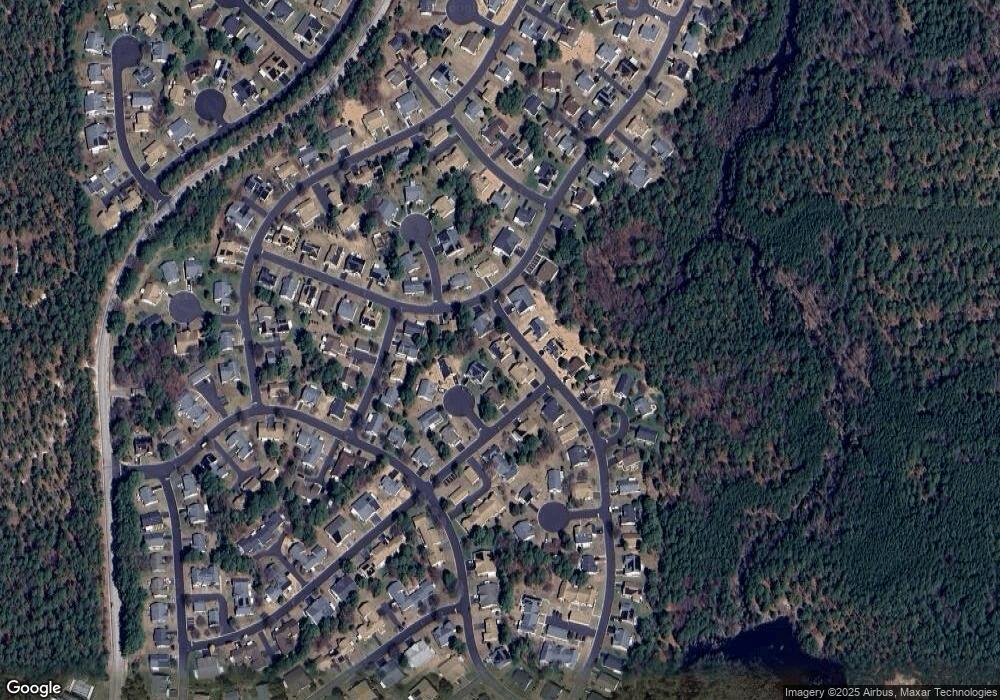
Map
Nearby Homes
- 14 Berkshire Rd Unit 64
- 4 Ardsley Ave Unit 63
- 9A Ardsley Ave Unit 64
- 10 Alpine Rd Unit 63
- 27 Amesbury Rd
- 27 Amesbury Rd Unit 64
- 3B Alpine Rd Unit 63
- 3B Alpine Rd Unit B
- 7 Cranston Ct Unit 64
- 7 Amherst Rd Unit A
- 15A Alpine Rd Unit 63
- 153A Sunset Rd
- 2 Oak Tree Ct
- 18 Chipmunk Ct Unit 3018
- 1 Tara Ct
- 11 Chipmunk Ct Unit 3011
- 4 Autumn Ct Unit 21004
- 24 Battle Rd
- 14 Muskrat Place
- 111 Sunset Rd Unit 60
- 2 Norwood Ct Unit 63
- 6 Ashley Rd
- 2 Ashley Rd
- 3 Ashley Rd
- 1B Ashley Rd
- 14 Berkshire Rd
- 1 Norwood Ct
- 3 Norwood Ct
- 1A Ashley Rd
- 5 Ashley Rd
- 10 Amesbury Rd Unit D
- 10 Amesbury Rd Unit A
- 10 Amesbury Rd Unit B
- 11 Berkshire Rd
- 11 Berkshire Rd Unit 64
- 1 Berwick St Unit A
- 8 Ashley Rd
- 7 Ashley Rd
- 16B Berkshire Rd
- 16B Berkshire Rd Unit B
Your Personal Tour Guide
Ask me questions while you tour the home.