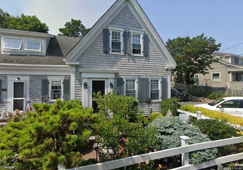
4 Atlantic Ave Provincetown, MA 02657
Estimated Value: $2,015,000 - $2,398,000
3
Beds
3
Baths
1,140
Sq Ft
$1,954/Sq Ft
Est. Value
About This Home
This home is located at 4 Atlantic Ave, Provincetown, MA 02657 and is currently estimated at $2,227,124, approximately $1,953 per square foot. 4 Atlantic Ave is a home located in Barnstable County with nearby schools including Provincetown Schools.
Ownership History
Date
Name
Owned For
Owner Type
Purchase Details
Closed on
Mar 3, 1992
Sold by
Tucker Elizabeth B and Harris Tucker I
Bought by
Diacchio Paul
Current Estimated Value
Home Financials for this Owner
Home Financials are based on the most recent Mortgage that was taken out on this home.
Original Mortgage
$98,800
Interest Rate
8.38%
Mortgage Type
Purchase Money Mortgage
Create a Home Valuation Report for This Property
The Home Valuation Report is an in-depth analysis detailing your home's value as well as a comparison with similar homes in the area
Home Values in the Area
Average Home Value in this Area
Purchase History
| Date | Buyer | Sale Price | Title Company |
|---|---|---|---|
| Diacchio Paul | $123,500 | -- | |
| Diacchio Paul | $123,500 | -- |
Source: Public Records
Mortgage History
| Date | Status | Borrower | Loan Amount |
|---|---|---|---|
| Open | Diacchio Paul | $75,000 | |
| Closed | Diacchio Paul | $98,800 |
Source: Public Records
Tax History Compared to Growth
Tax History
| Year | Tax Paid | Tax Assessment Tax Assessment Total Assessment is a certain percentage of the fair market value that is determined by local assessors to be the total taxable value of land and additions on the property. | Land | Improvement |
|---|---|---|---|---|
| 2025 | $11,113 | $1,984,500 | $902,900 | $1,081,600 |
| 2024 | $10,516 | $1,884,600 | $860,400 | $1,024,200 |
| 2023 | $8,660 | $1,448,200 | $748,300 | $699,900 |
| 2022 | $8,123 | $1,219,700 | $699,400 | $520,300 |
| 2021 | $7,758 | $1,095,700 | $635,800 | $459,900 |
| 2020 | $7,138 | $1,078,200 | $640,200 | $438,000 |
| 2019 | $7,304 | $1,034,500 | $621,600 | $412,900 |
| 2018 | $7,123 | $956,100 | $620,500 | $335,600 |
| 2017 | $6,557 | $850,400 | $545,400 | $305,000 |
| 2016 | $6,457 | $827,800 | $529,500 | $298,300 |
| 2015 | $5,846 | $792,100 | $499,000 | $293,100 |
Source: Public Records
Map
Nearby Homes
- 3 Atlantic Ave
- 7 Central St
- 15 Montello St Unit 3
- 162 Commercial St
- 155 Commercial St Unit 4
- 165 Commercial St Unit 4
- 147 Commercial St Unit L7
- 134 Commercial St
- 25 Winthrop St Unit 2
- 176 Commercial St Unit 2
- 167 Commercial St Unit 2
- 7 Kings Way
- 3 Carver Ct
- 118 Commercial St Unit U118
- 27 Court St Pf
- 27 Court St Unit U7B
- 27 Court St Unit PF
- 36 Shank Painter Rd Unit 11
- 22 Brown St
- 10 Bradford St Unit 2
- 1 Atlantic Ave
- 12 Atlantic Ave Unit 4
- 12 Atlantic Ave Unit 3
- 12 Atlantic Ave Unit 2
- 12 Atlantic Ave Unit 1
- 12 Atlantic Ave
- 43 Bradford St
- 8-10 Atlantic Ave Unit E
- 8-10 Atlantic Ave Unit C
- 8-10 Atlantic Ave Unit G
- 8-10 Atlantic Ave Unit D
- 8-10 Atlantic Ave Unit A
- 8-10 Atlantic Ave Unit F
- 8-10 Atlantic Ave Unit B
- 48 1/2 Bradford St
- 11 Atlantic Ave Unit C
- 11 Atlantic Ave Unit B
- 11 Atlantic Ave Unit A
- 11 Atlantic Ave
- 11 Atlantic Ave Unit UA