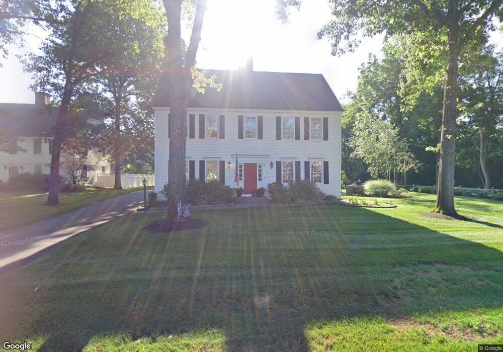
4 Avery Way Simsbury, CT 06070
Estimated Value: $808,000 - $1,018,000
4
Beds
5
Baths
3,894
Sq Ft
$234/Sq Ft
Est. Value
About This Home
This home is located at 4 Avery Way, Simsbury, CT 06070 and is currently estimated at $911,780, approximately $234 per square foot. 4 Avery Way is a home located in Hartford County with nearby schools including Central School, Henry James Memorial School, and Simsbury High School.
Ownership History
Date
Name
Owned For
Owner Type
Purchase Details
Closed on
Aug 22, 2006
Sold by
Red Door Assoc Llc
Bought by
Morgan Elizabeth A and Canning Robb J
Current Estimated Value
Home Financials for this Owner
Home Financials are based on the most recent Mortgage that was taken out on this home.
Original Mortgage
$581,144
Interest Rate
6.88%
Create a Home Valuation Report for This Property
The Home Valuation Report is an in-depth analysis detailing your home's value as well as a comparison with similar homes in the area
Home Values in the Area
Average Home Value in this Area
Purchase History
| Date | Buyer | Sale Price | Title Company |
|---|---|---|---|
| Morgan Elizabeth A | $711,430 | -- |
Source: Public Records
Mortgage History
| Date | Status | Borrower | Loan Amount |
|---|---|---|---|
| Open | Morgan Elizabeth A | $510,000 | |
| Closed | Morgan Elizabeth A | $550,000 | |
| Closed | Morgan Elizabeth A | $570,000 | |
| Closed | Morgan Elizabeth A | $581,144 |
Source: Public Records
Tax History
| Year | Tax Paid | Tax Assessment Tax Assessment Total Assessment is a certain percentage of the fair market value that is determined by local assessors to be the total taxable value of land and additions on the property. | Land | Improvement |
|---|---|---|---|---|
| 2025 | $18,699 | $547,400 | $94,640 | $452,760 |
| 2024 | $18,234 | $547,400 | $94,640 | $452,760 |
| 2023 | $17,418 | $547,400 | $94,640 | $452,760 |
| 2022 | $16,866 | $436,610 | $101,650 | $334,960 |
| 2021 | $16,866 | $436,610 | $101,650 | $334,960 |
| 2020 | $16,194 | $436,610 | $101,650 | $334,960 |
| 2019 | $16,294 | $436,610 | $101,650 | $334,960 |
| 2018 | $16,412 | $436,610 | $101,650 | $334,960 |
| 2017 | $16,604 | $428,390 | $105,990 | $322,400 |
| 2016 | $15,902 | $428,390 | $105,990 | $322,400 |
| 2015 | $15,902 | $428,390 | $105,990 | $322,400 |
| 2014 | $15,910 | $428,390 | $105,990 | $322,400 |
Source: Public Records
Map
Nearby Homes
- 31 Oxford Ct
- 60 Barry Ln
- 9 Barry Ln
- 90 Seminary Rd
- 6 Heritage Ln
- 9 Carriage Dr Unit 9
- 28 Great Pond Rd
- 42 Library Ln Unit 42
- 40 Firetown Rd Unit 22
- 7 Grimes Brook Place
- 1 West St Unit 219
- 7 School House Ln
- 79 Cambridge Ct
- 59 Cambridge Ct
- 24 Hunting Ridge Dr
- 10 Woods Ln
- 30 Southbridge Ct Unit 30
- 5 Shady Ln
- 36 Clifdon Dr
- 2 Gillette Ct Unit D
Your Personal Tour Guide
Ask me questions while you tour the home.