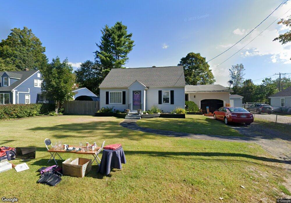
4 Balance Rock R Lanesborough, MA 01237
Estimated Value: $273,000 - $327,000
3
Beds
2
Baths
1,152
Sq Ft
$255/Sq Ft
Est. Value
About This Home
This home is located at 4 Balance Rock R, Lanesborough, MA 01237 and is currently estimated at $293,749, approximately $254 per square foot. 4 Balance Rock R is a home located in Berkshire County with nearby schools including Lanesborough Elementary School, Lamar Co Voc Tech Center, and Mt. Greylock Regional High School.
Ownership History
Date
Name
Owned For
Owner Type
Purchase Details
Closed on
Jul 17, 1998
Sold by
Walton Joseph P and Walton Paula J
Bought by
Nichols Victoria L and Nichols Melissa L
Current Estimated Value
Home Financials for this Owner
Home Financials are based on the most recent Mortgage that was taken out on this home.
Original Mortgage
$70,400
Outstanding Balance
$14,382
Interest Rate
6.98%
Mortgage Type
Purchase Money Mortgage
Estimated Equity
$279,367
Purchase Details
Closed on
Feb 21, 1989
Sold by
Vachon Guy G
Bought by
Walton Joseph P
Home Financials for this Owner
Home Financials are based on the most recent Mortgage that was taken out on this home.
Original Mortgage
$102,316
Interest Rate
10.77%
Mortgage Type
Purchase Money Mortgage
Create a Home Valuation Report for This Property
The Home Valuation Report is an in-depth analysis detailing your home's value as well as a comparison with similar homes in the area
Home Values in the Area
Average Home Value in this Area
Purchase History
| Date | Buyer | Sale Price | Title Company |
|---|---|---|---|
| Nichols Victoria L | $88,000 | -- | |
| Walton Joseph P | $101,200 | -- |
Source: Public Records
Mortgage History
| Date | Status | Borrower | Loan Amount |
|---|---|---|---|
| Open | Walton Joseph P | $70,400 | |
| Previous Owner | Walton Joseph P | $102,316 |
Source: Public Records
Tax History Compared to Growth
Tax History
| Year | Tax Paid | Tax Assessment Tax Assessment Total Assessment is a certain percentage of the fair market value that is determined by local assessors to be the total taxable value of land and additions on the property. | Land | Improvement |
|---|---|---|---|---|
| 2025 | $4,009 | $239,600 | $59,100 | $180,500 |
| 2024 | $3,790 | $222,800 | $59,100 | $163,700 |
| 2023 | $3,748 | $212,100 | $56,300 | $155,800 |
| 2022 | $3,486 | $182,500 | $56,300 | $126,200 |
| 2021 | $3,947 | $166,400 | $48,700 | $117,700 |
| 2020 | $3,478 | $157,300 | $46,200 | $111,100 |
| 2019 | $3,183 | $157,300 | $46,200 | $111,100 |
| 2018 | $3,162 | $155,000 | $46,200 | $108,800 |
| 2017 | $3,155 | $148,100 | $44,300 | $103,800 |
| 2016 | $2,889 | $149,200 | $44,300 | $104,900 |
| 2015 | $2,856 | $150,500 | $44,300 | $106,200 |
Source: Public Records
Map
Nearby Homes
- 2 Squanto Rd
- 0 Umbagog St
- 0 Ocean St
- Lot 4 Ore Bed Rd
- 0 Iroquois St
- 0 Miner Rd
- 16 Opeechee St
- 0 Balance Rock Rd
- 580 S Main St Unit 210
- 580 S Main St Unit 2-1
- 580 S Main St Unit Building 4 unit 2
- 1 Old Orebed Rd
- 0 Old Ore Bed Rd Unit 246229
- 0 Old Ore Bed Rd Unit 246231
- 0 Old Ore Bed Rd Unit 246230
- 21 Sunset St
- 22 Auburn St
- 211 Hancock Rd
- 15 Orlando Ave
- 125 Hancock Rd
- 2 Balance Rock Rd
- 6 Balance Rock Rd
- 6 Orchard Ave
- 7 Baglee Ave
- 1 Balance Rock Rd Unit A / 1
- 1 Balance Rock Rd
- 2 Balance Rock R
- 10 Balance Rock R
- 7 Balance Rock Rd Unit A / 7
- 9 Baglee Ave
- 9 Balance Rock Rd
- 4 Orchard Ave
- 171 Bull Hill Rd
- 10 Balance Rock Rd
- 166 Bull Hill Rd
- 3 Narragansett Ave
- 11 Balance Rock Rd
- 166 Bull Hill Rd
- 15 Baglee Ave
- 1 Narragansett Ave