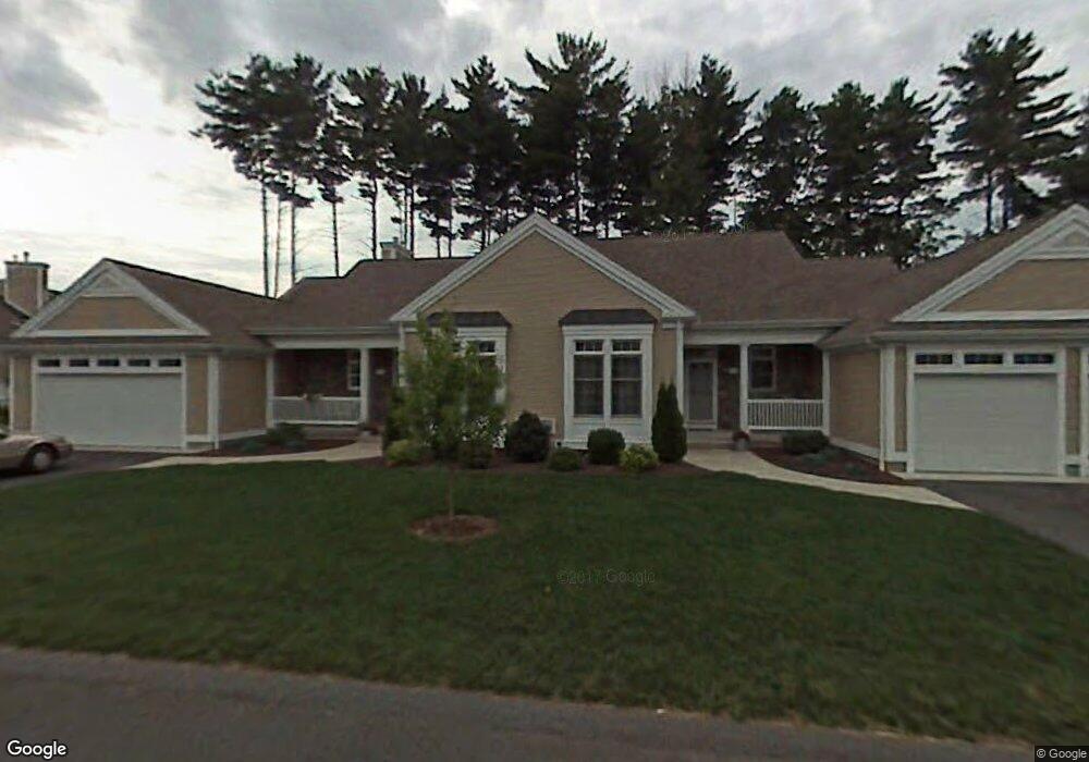
4 Balsam Dr Wilbraham, MA 01095
Estimated Value: $551,000 - $650,000
3
Beds
4
Baths
2,200
Sq Ft
$274/Sq Ft
Est. Value
About This Home
This home is located at 4 Balsam Dr, Wilbraham, MA 01095 and is currently estimated at $602,094, approximately $273 per square foot. 4 Balsam Dr is a home located in Hampden County with nearby schools including Minnechaug Regional High School and Wilbraham & Monson Academy.
Ownership History
Date
Name
Owned For
Owner Type
Purchase Details
Closed on
Mar 18, 2021
Sold by
Miller Frederick R and Miller Ernestine A
Bought by
Wall Kenneth A and Wall Sonja K
Current Estimated Value
Purchase Details
Closed on
Sep 20, 2006
Sold by
Secor Gregg R and Secor Kristen M
Bought by
Miller Ernestine A and Miller Frederick R
Home Financials for this Owner
Home Financials are based on the most recent Mortgage that was taken out on this home.
Original Mortgage
$343,120
Interest Rate
6.59%
Mortgage Type
Purchase Money Mortgage
Purchase Details
Closed on
Aug 30, 2004
Sold by
Woods At Wilbraham Llc and Landry Laurence D
Bought by
Secor Gregg R and Dougherty Kristen
Home Financials for this Owner
Home Financials are based on the most recent Mortgage that was taken out on this home.
Original Mortgage
$291,463
Interest Rate
6.02%
Mortgage Type
Purchase Money Mortgage
Create a Home Valuation Report for This Property
The Home Valuation Report is an in-depth analysis detailing your home's value as well as a comparison with similar homes in the area
Home Values in the Area
Average Home Value in this Area
Purchase History
| Date | Buyer | Sale Price | Title Company |
|---|---|---|---|
| Wall Kenneth A | $402,000 | None Available | |
| Miller Ernestine A | $428,900 | -- | |
| Secor Gregg R | $364,329 | -- |
Source: Public Records
Mortgage History
| Date | Status | Borrower | Loan Amount |
|---|---|---|---|
| Previous Owner | Miller Ernestine A | $343,120 | |
| Previous Owner | Miller Ernestine A | $64,335 | |
| Previous Owner | Secor Gregg R | $291,463 |
Source: Public Records
Tax History Compared to Growth
Tax History
| Year | Tax Paid | Tax Assessment Tax Assessment Total Assessment is a certain percentage of the fair market value that is determined by local assessors to be the total taxable value of land and additions on the property. | Land | Improvement |
|---|---|---|---|---|
| 2025 | $9,678 | $541,300 | $0 | $541,300 |
| 2024 | $8,018 | $433,400 | $0 | $433,400 |
| 2023 | $82 | $422,100 | $0 | $422,100 |
| 2022 | $8,151 | $397,800 | $0 | $397,800 |
| 2021 | $7,432 | $323,700 | $0 | $323,700 |
| 2020 | $7,244 | $323,700 | $0 | $323,700 |
| 2019 | $6,026 | $323,700 | $0 | $323,700 |
| 2018 | $7,236 | $319,600 | $0 | $319,600 |
| 2017 | $7,031 | $319,600 | $0 | $319,600 |
| 2016 | $6,938 | $321,200 | $0 | $321,200 |
| 2015 | $6,707 | $321,200 | $0 | $321,200 |
Source: Public Records
Map
Nearby Homes
- 79 High Pine Cir
- 69 High Pine Cir
- 54 High Pine Cir
- 35 Lake Dr
- 4 Hillcrest Dr
- 46 Washington Rd
- 28 Decorie Dr
- 2 Vista Rd
- 2 Bayberry Dr Unit 51
- 20 Old Orchard Rd
- 8 Patriot Ridge Ln
- 6 Teak Terrace Unit 24
- 19 Linwood Dr
- 99 Sandalwood Dr Unit site 00
- 474 Mountain Rd
- 103 Sandalwood Dr Unit site 00
- 474-480 Mountain Rd
- 57 Sandalwood Dr Unit site 61
- 111 Sandalwood Dr Unit site 00
- 182 Mountain Rd
- 2 Balsam Dr
- 108 High Pine Cir
- 106 High Pine Cir
- 104 High Pine Cir
- 5 Balsam Dr
- 3 Balsam Dr
- 5 Balsam Dr Unit 5
- 7 Balsam Dr
- 1 Balsam Dr
- 98 High Pine Cir
- 96 High Pine Cir
- 102 High Pine Cir
- 100 High Pine Cir
- 8 Balsam Dr
- 6 Balsam Dr
- 12 Balsam Dr
- 10 Balsam Dr
- 84 High Pine Cir Unit 84
- 84 High Pine Cir Unit 184
- 95 High Pine Cir