4 Barter Ln Kennebunkport, ME 04046
Estimated Value: $410,130 - $710,000
2
Beds
1
Bath
1,128
Sq Ft
$473/Sq Ft
Est. Value
About This Home
This home is located at 4 Barter Ln, Kennebunkport, ME 04046 and is currently estimated at $533,533, approximately $472 per square foot. 4 Barter Ln is a home with nearby schools including Kennebunk High School and School Around Us.
Create a Home Valuation Report for This Property
The Home Valuation Report is an in-depth analysis detailing your home's value as well as a comparison with similar homes in the area
Home Values in the Area
Average Home Value in this Area
Tax History Compared to Growth
Tax History
| Year | Tax Paid | Tax Assessment Tax Assessment Total Assessment is a certain percentage of the fair market value that is determined by local assessors to be the total taxable value of land and additions on the property. | Land | Improvement |
|---|---|---|---|---|
| 2025 | $2,056 | $298,800 | $187,700 | $111,100 |
| 2024 | $1,942 | $298,800 | $187,700 | $111,100 |
| 2023 | $1,868 | $298,800 | $187,700 | $111,100 |
| 2022 | $1,786 | $297,600 | $187,700 | $109,900 |
| 2021 | $1,740 | $181,300 | $96,900 | $84,400 |
| 2020 | $1,713 | $181,300 | $96,900 | $84,400 |
| 2019 | $1,713 | $181,300 | $96,900 | $84,400 |
| 2018 | $1,588 | $181,300 | $96,900 | $84,400 |
| 2017 | $1,577 | $181,300 | $96,900 | $84,400 |
| 2016 | $1,501 | $181,300 | $96,900 | $84,400 |
| 2015 | $1,319 | $181,300 | $96,900 | $84,400 |
| 2014 | $1,383 | $181,300 | $96,900 | $84,400 |
Source: Public Records
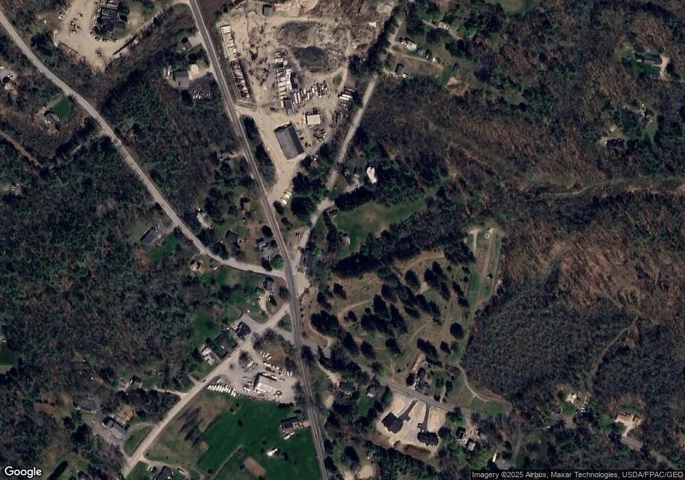
Map
Nearby Homes
- 00 Arundel Rd
- TBD Log Cabin
- 77 North St
- 0 Campbell Ln Unit 1630141
- TBD Arundel Rd
- 36 Roberts Ln
- 16 Oak St
- 28 River Locks Rd
- Lot#39 Bufflehead Cove Ln
- 105 Old Cape Rd
- 24 School St
- 14 Rachel Dr
- 15 Christensen Ln Unit B1
- 3 Breakwater Ct Unit 1
- 245 Arundel Rd
- 9 Christensen Ln
- 7 Christensen Ln
- 12 Forest Dr
- 13 Forest Dr
- 6 Old Port Rd