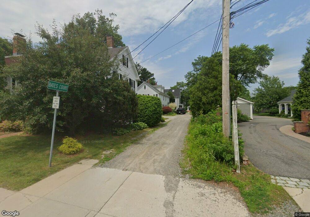
4 Bates Ct Unit 1 Dedham, MA 02026
Dexter NeighborhoodEstimated Value: $592,164 - $711,000
3
Beds
2
Baths
1,391
Sq Ft
$464/Sq Ft
Est. Value
About This Home
This home is located at 4 Bates Ct Unit 1, Dedham, MA 02026 and is currently estimated at $645,791, approximately $464 per square foot. 4 Bates Ct Unit 1 is a home located in Norfolk County with nearby schools including Riverdale Elementary School, Dedham Middle School, and Dedham High School.
Ownership History
Date
Name
Owned For
Owner Type
Purchase Details
Closed on
Dec 9, 2008
Sold by
Hall Jonathan A
Bought by
Mcgibbon Glenn A
Current Estimated Value
Home Financials for this Owner
Home Financials are based on the most recent Mortgage that was taken out on this home.
Original Mortgage
$238,500
Outstanding Balance
$157,434
Interest Rate
6.11%
Mortgage Type
Purchase Money Mortgage
Estimated Equity
$488,357
Purchase Details
Closed on
Mar 6, 2008
Sold by
Hall Ft and Hall Janette Eg
Bought by
Hall Jonathan A
Create a Home Valuation Report for This Property
The Home Valuation Report is an in-depth analysis detailing your home's value as well as a comparison with similar homes in the area
Home Values in the Area
Average Home Value in this Area
Purchase History
| Date | Buyer | Sale Price | Title Company |
|---|---|---|---|
| Mcgibbon Glenn A | $265,000 | -- | |
| Hall Jonathan A | -- | -- |
Source: Public Records
Mortgage History
| Date | Status | Borrower | Loan Amount |
|---|---|---|---|
| Open | Mcgibbon Glenn A | $238,500 |
Source: Public Records
Tax History
| Year | Tax Paid | Tax Assessment Tax Assessment Total Assessment is a certain percentage of the fair market value that is determined by local assessors to be the total taxable value of land and additions on the property. | Land | Improvement |
|---|---|---|---|---|
| 2025 | $5,456 | $432,300 | $0 | $432,300 |
| 2024 | $5,201 | $416,100 | $0 | $416,100 |
| 2023 | $4,977 | $387,600 | $0 | $387,600 |
| 2022 | $4,890 | $366,300 | $0 | $366,300 |
| 2021 | $4,897 | $358,200 | $0 | $358,200 |
| 2020 | $4,585 | $334,200 | $0 | $334,200 |
| 2019 | $4,392 | $310,400 | $0 | $310,400 |
| 2018 | $4,352 | $299,100 | $0 | $299,100 |
| 2017 | $4,341 | $294,100 | $0 | $294,100 |
| 2016 | $4,342 | $280,300 | $0 | $280,300 |
| 2015 | $4,106 | $258,700 | $0 | $258,700 |
| 2014 | $4,160 | $258,700 | $0 | $258,700 |
Source: Public Records
Map
Nearby Homes
- 44 Court St
- 55 Church St Unit 1
- 46 Church St
- 92 Old River Place
- 55 Dwight St
- 570 Washington St
- 8 Cocci Way
- 165 Highland St Unit 165
- 37 Horrigan Dr Unit 1
- 57 Horrigan Dr Unit 3
- 42 Churchill Place
- 442 High St
- 66 Horrigan Dr Unit 25
- 80 Horrigan Dr Unit 24
- 86 Horrigan Dr Unit 23
- 107 Horrigan Dr Unit 12
- 87 Horrigan Dr Unit 8
- 55 Maynard Rd
- 75 Bingham Ave
- 58 Jersey St
- 4-6 Bates Ct
- 6 Bates Ct Unit 2
- 8 Bates Ct
- 27 Court St
- 19 Bullard St
- 21 Court St Unit 21
- 19 Court St Unit 21
- 19 Court St
- 19 Court St Unit 3
- 19 Court St Unit 401
- 19 Court St Unit 301
- 19 Court St Unit 201
- 27 Bullard St
- 27 Bullard St Unit 1
- 29 Bullard St Unit 1
- 27 Bullard St Unit 27
- 29 Bullard St
- 25 Bullard St
- 25 Bullard St Unit 1
- 25 Bullard St Unit 25