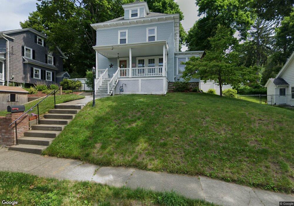
4 Biltmore Rd Worcester, MA 01602
Newton Square NeighborhoodEstimated Value: $491,000 - $518,000
4
Beds
2
Baths
1,957
Sq Ft
$257/Sq Ft
Est. Value
About This Home
This home is located at 4 Biltmore Rd, Worcester, MA 01602 and is currently estimated at $503,743, approximately $257 per square foot. 4 Biltmore Rd is a home located in Worcester County with nearby schools including Tatnuck Magnet School, Chandler Magnet, and Jacob Hiatt Magnet School.
Ownership History
Date
Name
Owned For
Owner Type
Purchase Details
Closed on
Jul 12, 2017
Sold by
Trotta Bruce W and Trotta Doreen F
Bought by
Trotta Doreen F
Current Estimated Value
Purchase Details
Closed on
May 15, 1987
Sold by
Statman David
Bought by
Trotta Doreen F
Create a Home Valuation Report for This Property
The Home Valuation Report is an in-depth analysis detailing your home's value as well as a comparison with similar homes in the area
Home Values in the Area
Average Home Value in this Area
Purchase History
| Date | Buyer | Sale Price | Title Company |
|---|---|---|---|
| Trotta Doreen F | -- | -- | |
| Trotta Doreen F | $115,500 | -- |
Source: Public Records
Mortgage History
| Date | Status | Borrower | Loan Amount |
|---|---|---|---|
| Previous Owner | Trotta Doreen F | $200,000 | |
| Previous Owner | Trotta Doreen F | $157,500 | |
| Previous Owner | Trotta Doreen F | $75,700 |
Source: Public Records
Tax History Compared to Growth
Tax History
| Year | Tax Paid | Tax Assessment Tax Assessment Total Assessment is a certain percentage of the fair market value that is determined by local assessors to be the total taxable value of land and additions on the property. | Land | Improvement |
|---|---|---|---|---|
| 2025 | $5,583 | $423,300 | $117,700 | $305,600 |
| 2024 | $5,334 | $387,900 | $117,700 | $270,200 |
| 2023 | $5,135 | $358,100 | $102,400 | $255,700 |
| 2022 | $4,742 | $311,800 | $81,900 | $229,900 |
| 2021 | $4,755 | $292,100 | $65,500 | $226,600 |
| 2020 | $4,512 | $265,400 | $65,500 | $199,900 |
| 2019 | $4,336 | $240,900 | $58,900 | $182,000 |
| 2018 | $4,325 | $228,700 | $58,900 | $169,800 |
| 2017 | $4,130 | $214,900 | $58,900 | $156,000 |
| 2016 | $4,128 | $200,300 | $42,900 | $157,400 |
| 2015 | $4,020 | $200,300 | $42,900 | $157,400 |
| 2014 | $3,914 | $200,300 | $42,900 | $157,400 |
Source: Public Records
Map
Nearby Homes
- 40 Rustic Dr
- 1029 Pleasant St Unit 19
- 122 Copperfield Rd
- 57 Berwick St
- 22 Audubon Rd
- 563 Chandler St
- 134 Richmond Ave
- 31 Lenox St
- 9 Field Way
- 18 Westbrook Rd
- 5 Forest Hill Dr
- 33 Aylesbury Rd
- 32 Aylesbury Rd
- 47R Yarnie Unit 3B
- 47R Yarnie Unit 3A
- 47R Yarnie Unit 1B
- 47R Yarnie Unit 2B
- 47R Yarnie Unit 4B
- 47R Yarnie Unit 8B
- 47R Yarnie Unit 5A
- 2 Biltmore Rd
- 6 Biltmore Rd
- 5 Columbine Rd
- 7 Columbine Rd
- 3 Columbine Rd
- 8 Biltmore Rd
- 1011 Pleasant St
- 1011 Pleasant St
- 11 Moreland St
- 1009 Pleasant St
- 1009 Pleasant St Unit 1009
- 0 Dellwood Rd Unit 71073610
- LOT 1-A Moreland St
- 9 Columbine Rd
- 13 Moreland St
- 1001 Pleasant St
- 15 Moreland St
- 11 Columbine Rd
- 1015 Pleasant St Unit 1
- 12 Moreland St