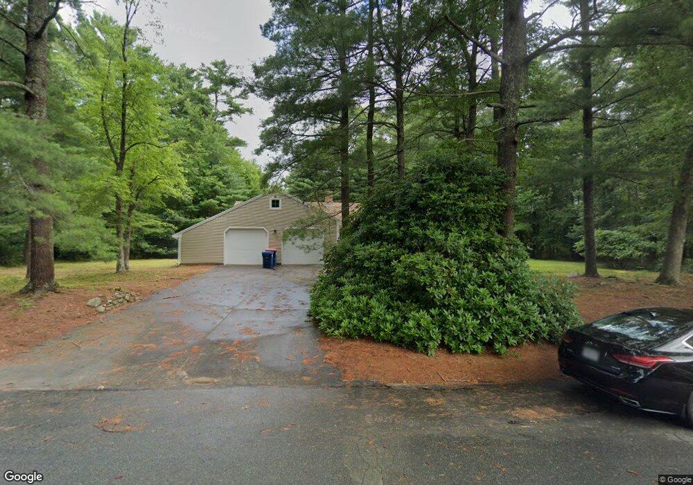
4 Boxberry Path Mattapoisett, MA 02739
Estimated Value: $629,434 - $687,000
3
Beds
2
Baths
1,872
Sq Ft
$353/Sq Ft
Est. Value
About This Home
This home is located at 4 Boxberry Path, Mattapoisett, MA 02739 and is currently estimated at $661,609, approximately $353 per square foot. 4 Boxberry Path is a home located in Plymouth County with nearby schools including Center School, Old Hammondtown Elementary, and Old Rochester Regional High School.
Ownership History
Date
Name
Owned For
Owner Type
Purchase Details
Closed on
Apr 5, 2024
Sold by
Valliere Steven D and Valliere Margaret A
Bought by
S D & M A Valliere Ret and Valliere
Current Estimated Value
Create a Home Valuation Report for This Property
The Home Valuation Report is an in-depth analysis detailing your home's value as well as a comparison with similar homes in the area
Home Values in the Area
Average Home Value in this Area
Purchase History
| Date | Buyer | Sale Price | Title Company |
|---|---|---|---|
| S D & M A Valliere Ret | -- | None Available | |
| S D & M A Valliere Ret | -- | None Available | |
| S D & M A Valliere Ret | -- | None Available |
Source: Public Records
Tax History Compared to Growth
Tax History
| Year | Tax Paid | Tax Assessment Tax Assessment Total Assessment is a certain percentage of the fair market value that is determined by local assessors to be the total taxable value of land and additions on the property. | Land | Improvement |
|---|---|---|---|---|
| 2025 | $5,957 | $553,600 | $258,300 | $295,300 |
| 2024 | $5,892 | $560,600 | $258,300 | $302,300 |
| 2023 | $5,655 | $502,700 | $220,600 | $282,100 |
| 2022 | $5,777 | $465,900 | $183,800 | $282,100 |
| 2021 | $5,130 | $395,800 | $167,100 | $228,700 |
| 2020 | $4,954 | $367,200 | $159,100 | $208,100 |
| 2019 | $4,830 | $365,600 | $159,100 | $206,500 |
| 2018 | $4,610 | $354,100 | $140,800 | $213,300 |
| 2017 | $4,565 | $349,300 | $154,800 | $194,500 |
| 2016 | $4,463 | $338,100 | $147,800 | $190,300 |
| 2015 | $4,369 | $336,100 | $152,000 | $184,100 |
| 2014 | $4,186 | $329,100 | $152,000 | $177,100 |
Source: Public Records
Map
Nearby Homes
- 224 North St
- 7 Laura Ln
- 8 Abby Ln
- 0 Long Plain Rd
- 2 Golf Cottage Way
- 4 Golf Cottage Way
- 170 Dexter Ln
- 225 Mattapoisett Rd
- 293 Mendall Rd
- 19 High Ridge Dr
- 4 Hayley Cir
- 2 Hayley Cir
- 13 Park Place
- 4 Sarahbeth Ln Unit 1
- 19 Sarahbeth Ln Unit 27
- 57 Perry Hill Rd
- 312 New Boston Rd
- 9 Hitching Post Rd
- 31 Split Rock Ln
- 661 Main St
- 3 Beaver Path
- 5 Boxberry Path
- 1 Beaver Path
- 2 Boxberry Path
- 5 Crooked Bow Path
- 2 Beaver Path
- 7 Crooked Bow Path
- 3 Crooked Bow Path
- 3 Crooked Bow Path Unit 3
- 3 Crooked Bow Path Unit 1
- 4 Peace Pipe Path
- 6 Beaver Path
- 206 North St
- 217 North St
- 9 Peace Pipe Path
- 211 North St
- 4 Massasoit Way
- 3 Massasoit Way
- 7 Peace Pipe Path
- 216 North St