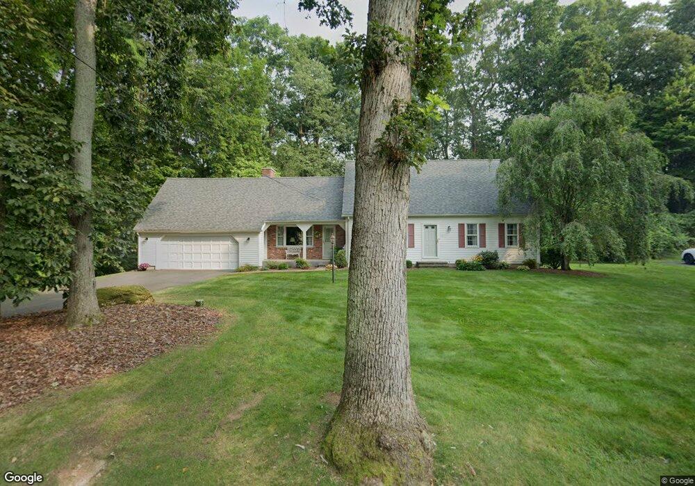
4 Branch Rd Wilbraham, MA 01095
Estimated Value: $479,000 - $574,000
4
Beds
2
Baths
2,023
Sq Ft
$254/Sq Ft
Est. Value
About This Home
This home is located at 4 Branch Rd, Wilbraham, MA 01095 and is currently estimated at $513,586, approximately $253 per square foot. 4 Branch Rd is a home located in Hampden County with nearby schools including Minnechaug Regional High School and Wilbraham & Monson Academy.
Ownership History
Date
Name
Owned For
Owner Type
Purchase Details
Closed on
Jul 25, 2024
Sold by
Buckley William L and Buckley Helen I
Bought by
Buckley Helen I and Buckley William L
Current Estimated Value
Purchase Details
Closed on
Oct 14, 1983
Bought by
Buckley William L and Buckley Helen I
Create a Home Valuation Report for This Property
The Home Valuation Report is an in-depth analysis detailing your home's value as well as a comparison with similar homes in the area
Home Values in the Area
Average Home Value in this Area
Purchase History
| Date | Buyer | Sale Price | Title Company |
|---|---|---|---|
| Buckley Helen I | -- | None Available | |
| Buckley Helen I | -- | None Available | |
| Buckley William L | -- | -- |
Source: Public Records
Mortgage History
| Date | Status | Borrower | Loan Amount |
|---|---|---|---|
| Previous Owner | Buckley William L | $65,000 | |
| Previous Owner | Buckley William L | $60,000 | |
| Previous Owner | Buckley William L | $55,000 |
Source: Public Records
Tax History Compared to Growth
Tax History
| Year | Tax Paid | Tax Assessment Tax Assessment Total Assessment is a certain percentage of the fair market value that is determined by local assessors to be the total taxable value of land and additions on the property. | Land | Improvement |
|---|---|---|---|---|
| 2025 | $7,896 | $441,600 | $89,700 | $351,900 |
| 2024 | $7,243 | $391,500 | $89,700 | $301,800 |
| 2023 | $6,811 | $366,200 | $89,700 | $276,500 |
| 2022 | $6,811 | $332,400 | $89,700 | $242,700 |
| 2021 | $6,803 | $296,300 | $98,300 | $198,000 |
| 2020 | $6,631 | $296,300 | $98,300 | $198,000 |
| 2019 | $6,211 | $284,900 | $98,300 | $186,600 |
| 2018 | $5,966 | $263,500 | $98,300 | $165,200 |
| 2017 | $5,797 | $263,500 | $98,300 | $165,200 |
| 2016 | $5,510 | $255,100 | $104,500 | $150,600 |
| 2015 | $5,326 | $255,100 | $104,500 | $150,600 |
Source: Public Records
Map
Nearby Homes
- 230V Burleigh Rd
- 19 Forest Hill Rd
- 374
- 6 Katie St
- 1028 Tinkham Rd
- 59 Baldwin Dr
- 390 Soule Rd
- 17 Peak Rd
- 5 Old Carriage Dr
- 68 Monson Rd
- 460 Soule Rd
- 407 Monson Rd
- 767 Stony Hill Rd
- 760 Stony Hill Rd
- 763 Stony Hill Rd
- 751 Ridge Rd
- 14 Brookdale Dr
- 6 Hilltop Park
- 0 Mountain Rd Unit 73267162
- 0 Mountain Rd Unit 72942534