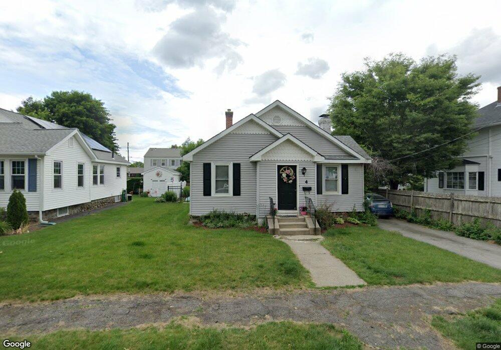
4 Brandon Rd Worcester, MA 01606
Burncoat NeighborhoodEstimated Value: $348,000 - $361,000
2
Beds
1
Bath
985
Sq Ft
$358/Sq Ft
Est. Value
About This Home
This home is located at 4 Brandon Rd, Worcester, MA 01606 and is currently estimated at $352,876, approximately $358 per square foot. 4 Brandon Rd is a home located in Worcester County with nearby schools including Jacob Hiatt Magnet School, Chandler Magnet, and Thorndyke Road School.
Create a Home Valuation Report for This Property
The Home Valuation Report is an in-depth analysis detailing your home's value as well as a comparison with similar homes in the area
Home Values in the Area
Average Home Value in this Area
Tax History
| Year | Tax Paid | Tax Assessment Tax Assessment Total Assessment is a certain percentage of the fair market value that is determined by local assessors to be the total taxable value of land and additions on the property. | Land | Improvement |
|---|---|---|---|---|
| 2025 | $3,954 | $299,800 | $97,900 | $201,900 |
| 2024 | $3,873 | $281,700 | $97,900 | $183,800 |
| 2023 | $3,718 | $259,300 | $85,100 | $174,200 |
| 2022 | $3,392 | $223,000 | $68,100 | $154,900 |
| 2021 | $3,204 | $196,800 | $54,500 | $142,300 |
| 2020 | $3,140 | $184,700 | $54,500 | $130,200 |
| 2019 | $2,965 | $164,700 | $49,000 | $115,700 |
| 2018 | $2,952 | $156,100 | $49,000 | $107,100 |
| 2017 | $2,827 | $147,100 | $49,000 | $98,100 |
| 2016 | $2,801 | $135,900 | $36,400 | $99,500 |
| 2015 | $2,728 | $135,900 | $36,400 | $99,500 |
| 2014 | $2,655 | $135,900 | $36,400 | $99,500 |
Source: Public Records
Map
Nearby Homes
- 66 Eunice Ave
- 323 Burncoat St
- 331 Burncoat St
- 58 Osceola Ave
- 248 Saint Nicholas Ave
- 169 Whitmarsh Ave
- 94 Kendrick Ave
- 3205 Halcyon Dr Unit 3205
- 2101 Halcyon Dr Unit 2101
- 63 Cobblestone Ln Unit 63
- 31 Enaya Cir Unit 31
- 39 Whitmarsh Ave
- 93 Blue Bell Rd
- 4 Winston Rd
- 30 Danielles Way
- 18 Danielles Way
- 18 Gosnold St
- 15 Ericsson St
- 110 Beverly Rd
- 79 Humes Ave
Your Personal Tour Guide
Ask me questions while you tour the home.