4 Brassie Rd Newtown, CT 06470
Estimated Value: $442,000 - $504,000
3
Beds
1
Bath
1,040
Sq Ft
$463/Sq Ft
Est. Value
About This Home
This home is located at 4 Brassie Rd, Newtown, CT 06470 and is currently estimated at $481,969, approximately $463 per square foot. 4 Brassie Rd is a home located in Fairfield County with nearby schools including Reed Intermediate School, Middle Gate Elementary School, and Newtown Middle School.
Ownership History
Date
Name
Owned For
Owner Type
Purchase Details
Closed on
Jul 22, 1992
Sold by
Sotnik Joseph and Sotnik Kathleen
Bought by
Risko Brian and Risko Brenda
Current Estimated Value
Create a Home Valuation Report for This Property
The Home Valuation Report is an in-depth analysis detailing your home's value as well as a comparison with similar homes in the area
Home Values in the Area
Average Home Value in this Area
Purchase History
| Date | Buyer | Sale Price | Title Company |
|---|---|---|---|
| Risko Brian | $153,000 | -- |
Source: Public Records
Mortgage History
| Date | Status | Borrower | Loan Amount |
|---|---|---|---|
| Closed | Risko Brian | $200,000 | |
| Closed | Risko Brian | $50,000 | |
| Closed | Risko Brian | $35,000 | |
| Closed | Risko Brian | $120,000 |
Source: Public Records
Tax History Compared to Growth
Tax History
| Year | Tax Paid | Tax Assessment Tax Assessment Total Assessment is a certain percentage of the fair market value that is determined by local assessors to be the total taxable value of land and additions on the property. | Land | Improvement |
|---|---|---|---|---|
| 2025 | $7,455 | $259,410 | $79,440 | $179,970 |
| 2024 | $6,996 | $259,410 | $79,440 | $179,970 |
| 2023 | $6,807 | $259,410 | $79,440 | $179,970 |
| 2022 | $6,378 | $183,960 | $75,430 | $108,530 |
| 2021 | $6,374 | $183,960 | $75,430 | $108,530 |
| 2020 | $6,394 | $183,960 | $75,430 | $108,530 |
| 2019 | $6,396 | $183,960 | $75,430 | $108,530 |
| 2018 | $6,299 | $183,960 | $75,430 | $108,530 |
| 2017 | $5,348 | $157,900 | $72,490 | $85,410 |
| 2016 | $5,305 | $157,900 | $72,490 | $85,410 |
| 2015 | $5,222 | $157,900 | $72,490 | $85,410 |
| 2014 | $5,260 | $157,900 | $72,490 | $85,410 |
Source: Public Records
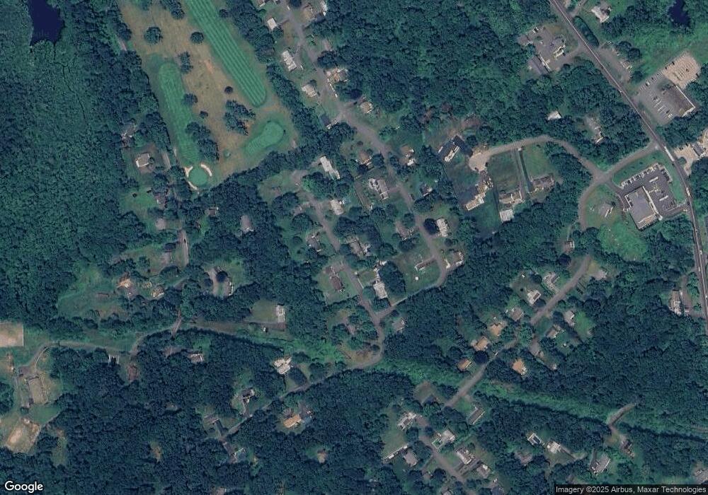
Map
Nearby Homes
- 102 S Main St
- 9A Point o Rocks Rd
- 4 Old Gate Ln
- 44 Boggs Hill Rd
- 6 Joan Dr
- 15 Juniper Rd
- 2 Winding Brook Rd
- 55 Sugar St Unit 10
- 55 Sugar St Unit 12
- 55 Sugar St Unit 9
- 55 Sugar St Unit 5
- 55 Sugar St Unit 6
- 55 Sugar St Unit 4
- 55 Sugar St Unit 3
- 55 Sugar St Unit 2
- 22 Lincoln Rd
- 28 Grand Place
- 13 Old Castle Dr
- 44 Watkins Dr Unit 44
- 55 Copper Creek Cir
- 24 Bonnie Brae Dr
- 6 Brassie Rd
- 2 Brassie Rd
- 1 Brassie Rd
- 3 Brassie Rd
- 22 Bonnie Brae Dr
- 26 Bonnie Brae Dr
- 5 Brassie Rd
- 8 Brassie Rd
- 19 Bonnie Brae Dr
- 17 Bonnie Brae Dr
- 20 Bonnie Brae Dr
- 23 Bonnie Brae Dr
- 28 Bonnie Brae Dr
- 21 Bonnie Brae Dr
- 7 Brassie Rd
- 15 Bonnie Brae Dr
- 5 Southbrook Ln
- 27 Brushy Hill Rd
- 29 Brushy Hill Rd