4 Briarcliff Dr Methuen, MA 01844
The East End NeighborhoodEstimated Value: $629,252 - $651,000
3
Beds
3
Baths
1,790
Sq Ft
$358/Sq Ft
Est. Value
About This Home
This home is located at 4 Briarcliff Dr, Methuen, MA 01844 and is currently estimated at $640,563, approximately $357 per square foot. 4 Briarcliff Dr is a home located in Essex County with nearby schools including South Point Elementary School, Methuen High School, and Community Day Charter Public School - Gateway.
Ownership History
Date
Name
Owned For
Owner Type
Purchase Details
Closed on
Feb 12, 1988
Sold by
Ferndale Rt
Bought by
Wnek Michael J
Current Estimated Value
Home Financials for this Owner
Home Financials are based on the most recent Mortgage that was taken out on this home.
Original Mortgage
$125,650
Interest Rate
10.59%
Mortgage Type
Purchase Money Mortgage
Create a Home Valuation Report for This Property
The Home Valuation Report is an in-depth analysis detailing your home's value as well as a comparison with similar homes in the area
Home Values in the Area
Average Home Value in this Area
Purchase History
| Date | Buyer | Sale Price | Title Company |
|---|---|---|---|
| Wnek Michael J | $179,900 | -- |
Source: Public Records
Mortgage History
| Date | Status | Borrower | Loan Amount |
|---|---|---|---|
| Closed | Wnek Michael J | $99,000 | |
| Closed | Wnek Michael J | $105,000 | |
| Closed | Wnek Michael J | $125,650 |
Source: Public Records
Tax History Compared to Growth
Tax History
| Year | Tax Paid | Tax Assessment Tax Assessment Total Assessment is a certain percentage of the fair market value that is determined by local assessors to be the total taxable value of land and additions on the property. | Land | Improvement |
|---|---|---|---|---|
| 2025 | $5,584 | $527,800 | $207,300 | $320,500 |
| 2024 | $5,509 | $507,300 | $182,100 | $325,200 |
| 2023 | $5,260 | $449,600 | $161,100 | $288,500 |
| 2022 | $5,062 | $387,900 | $140,100 | $247,800 |
| 2021 | $4,766 | $361,300 | $133,100 | $228,200 |
| 2020 | $4,726 | $351,600 | $133,100 | $218,500 |
| 2019 | $4,669 | $329,000 | $126,100 | $202,900 |
| 2018 | $4,449 | $311,800 | $119,000 | $192,800 |
| 2017 | $4,320 | $294,900 | $119,000 | $175,900 |
| 2016 | $4,317 | $291,500 | $119,000 | $172,500 |
| 2015 | $4,054 | $277,700 | $112,000 | $165,700 |
Source: Public Records
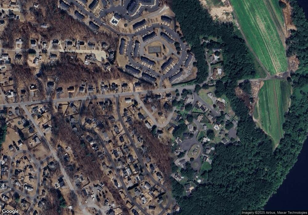
Map
Nearby Homes
- 45 Christopher Dr Unit 101
- 17 Ferry Rd
- 29 Pitman St
- 29 Wallace St
- 2 Goodrich Ave
- 107 Farrwood Dr Unit 107
- 27 Russell Farm Dr
- 23 Constitution Way Unit 23
- 23 Constitution Way
- 95 Pilgrim Cir Unit 95
- 49 Golf Ave
- 369 Farrwood Dr
- 68 Sterling Ln
- 406 Farrwood Dr Unit 406
- 414 Farrwood Dr Unit 414
- 86 Comet Rd
- 128 Bradford St
- 14 S Riverview St
- 49 Ferry Rd
- 128 Pleasant Valley St
- 149 Pitman St
- 153 Pitman St
- 10 Briarcliff Dr
- 16 Briarcliff Dr
- 5 Briarcliff Dr
- 3 Briarcliff Dr
- 7 Briarcliff Dr
- 157 Pitman St
- 145 Pitman St
- 15 Briarcliff Dr
- 49 Clementi Ln
- 148 Pitman St
- 47 Clementi Ln
- 17 Briarcliff Dr
- 51 Clementi Ln
- 11 Briarcliff Dr
- 45 Clementi Ln
- 9 Briarcliff Dr
- 19 Briarcliff Dr
- 146 Pitman St