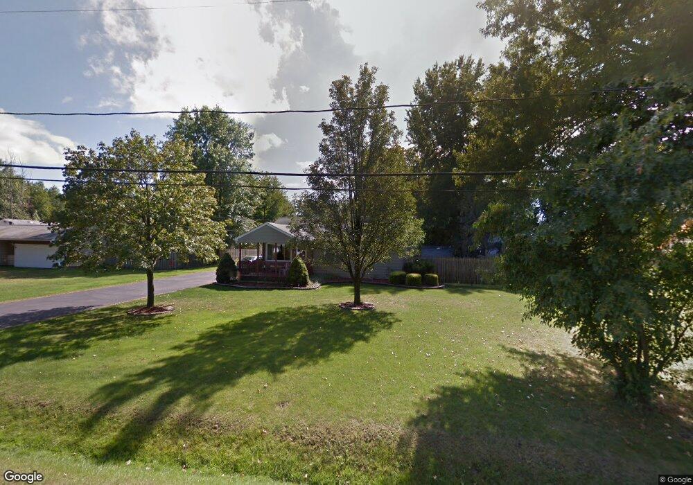
4 Bristol Ave Painesville, OH 44077
Estimated Value: $185,000 - $218,000
3
Beds
1
Bath
988
Sq Ft
$201/Sq Ft
Est. Value
About This Home
This home is located at 4 Bristol Ave, Painesville, OH 44077 and is currently estimated at $198,152, approximately $200 per square foot. 4 Bristol Ave is a home located in Lake County with nearby schools including Henry F. Lamuth Middle School, Riverside Junior/Senior High School, and Summit Academy Community School - Painesville.
Ownership History
Date
Name
Owned For
Owner Type
Purchase Details
Closed on
Nov 27, 1996
Sold by
Myers Randal A
Bought by
Briganti Dennis J
Current Estimated Value
Home Financials for this Owner
Home Financials are based on the most recent Mortgage that was taken out on this home.
Original Mortgage
$79,959
Outstanding Balance
$8,304
Interest Rate
7.94%
Mortgage Type
FHA
Estimated Equity
$189,848
Purchase Details
Closed on
Dec 4, 1989
Bought by
Myers Randal A
Create a Home Valuation Report for This Property
The Home Valuation Report is an in-depth analysis detailing your home's value as well as a comparison with similar homes in the area
Home Values in the Area
Average Home Value in this Area
Purchase History
| Date | Buyer | Sale Price | Title Company |
|---|---|---|---|
| Briganti Dennis J | $80,000 | -- | |
| Myers Randal A | $45,500 | -- |
Source: Public Records
Mortgage History
| Date | Status | Borrower | Loan Amount |
|---|---|---|---|
| Open | Briganti Dennis J | $79,959 |
Source: Public Records
Tax History Compared to Growth
Tax History
| Year | Tax Paid | Tax Assessment Tax Assessment Total Assessment is a certain percentage of the fair market value that is determined by local assessors to be the total taxable value of land and additions on the property. | Land | Improvement |
|---|---|---|---|---|
| 2024 | -- | $54,850 | $19,420 | $35,430 |
| 2023 | $4,568 | $41,920 | $15,600 | $26,320 |
| 2022 | $2,469 | $41,920 | $15,600 | $26,320 |
| 2021 | $2,478 | $41,920 | $15,600 | $26,320 |
| 2020 | $2,441 | $36,450 | $13,570 | $22,880 |
| 2019 | $2,459 | $36,450 | $13,570 | $22,880 |
| 2018 | $2,467 | $34,020 | $13,450 | $20,570 |
| 2017 | $2,375 | $34,020 | $13,450 | $20,570 |
| 2016 | $2,093 | $34,020 | $13,450 | $20,570 |
| 2015 | $1,950 | $34,020 | $13,450 | $20,570 |
| 2014 | $1,982 | $34,020 | $13,450 | $20,570 |
| 2013 | $1,937 | $34,020 | $13,450 | $20,570 |
Source: Public Records
Map
Nearby Homes
- 43 Bristol Ave
- 396 Park Rd
- V/L Morgan Dr
- 500 Park Rd
- 67 Tanners Farm Dr
- 525 Morgan Dr
- 65 Tanners Farm Dr
- 5406 Pebble Creek Ln
- 1182 Dalton Dr
- 1172 Dalton Dr
- 30 Orton Rd
- 44 Grove Ave
- 58 Deerfield Dr
- 269 Hale Rd
- 238 Radley Dr
- 108 Birch Dr
- 0 N Ridge Rd Unit 5110949
- 4505 Lane Rd
- 1787 Muirfield Ln
- 1160 Riverside Dr