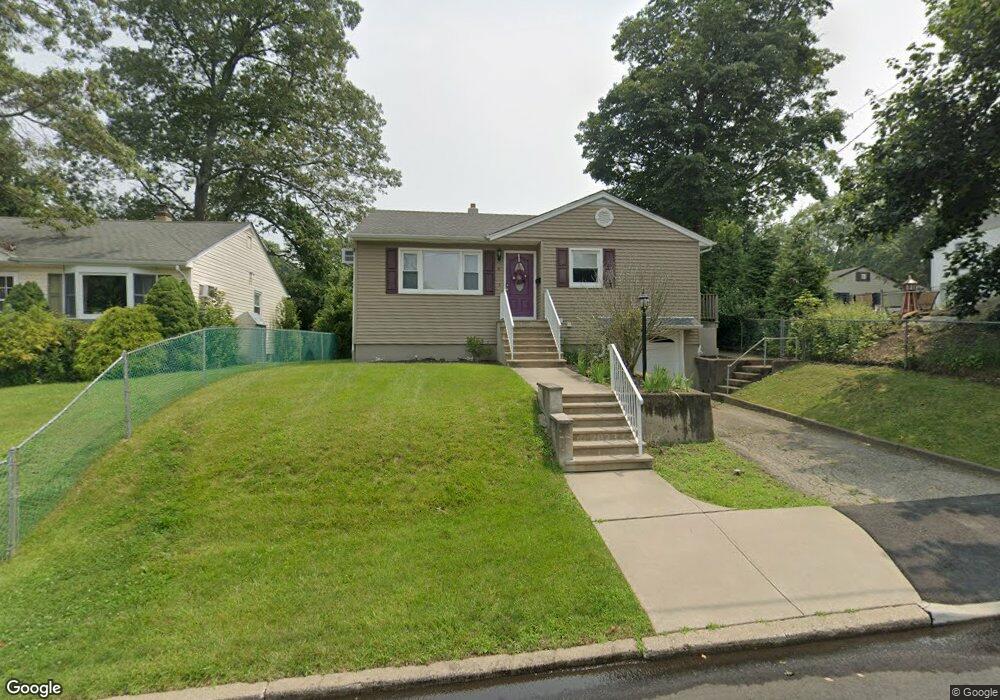
4 Brookside Rd Netcong, NJ 07857
Estimated Value: $389,131 - $460,000
3
Beds
2
Baths
1,012
Sq Ft
$427/Sq Ft
Est. Value
About This Home
This home is located at 4 Brookside Rd, Netcong, NJ 07857 and is currently estimated at $432,033, approximately $426 per square foot. 4 Brookside Rd is a home located in Morris County with nearby schools including Netcong Elementary School, Lenape Val Regional High School, and St. Therese School.
Ownership History
Date
Name
Owned For
Owner Type
Purchase Details
Closed on
Jan 27, 2011
Sold by
Mcnear Edwina
Bought by
Migliorino Thomas R and Lange John D
Current Estimated Value
Home Financials for this Owner
Home Financials are based on the most recent Mortgage that was taken out on this home.
Original Mortgage
$90,000
Outstanding Balance
$61,556
Interest Rate
4.77%
Mortgage Type
New Conventional
Estimated Equity
$370,477
Create a Home Valuation Report for This Property
The Home Valuation Report is an in-depth analysis detailing your home's value as well as a comparison with similar homes in the area
Home Values in the Area
Average Home Value in this Area
Purchase History
| Date | Buyer | Sale Price | Title Company |
|---|---|---|---|
| Migliorino Thomas R | $125,000 | Chicago Title Insurance Co |
Source: Public Records
Mortgage History
| Date | Status | Borrower | Loan Amount |
|---|---|---|---|
| Open | Migliorino Thomas R | $90,000 |
Source: Public Records
Tax History
| Year | Tax Paid | Tax Assessment Tax Assessment Total Assessment is a certain percentage of the fair market value that is determined by local assessors to be the total taxable value of land and additions on the property. | Land | Improvement |
|---|---|---|---|---|
| 2025 | $8,710 | $254,900 | $125,000 | $129,900 |
| 2024 | $8,786 | $254,900 | $125,000 | $129,900 |
Source: Public Records
Map
Nearby Homes
Your Personal Tour Guide
Ask me questions while you tour the home.