4 Bumble Bee Ln Westport, CT 06880
Red Coat NeighborhoodEstimated Value: $2,942,000 - $3,873,000
5
Beds
6
Baths
5,971
Sq Ft
$556/Sq Ft
Est. Value
About This Home
This home is located at 4 Bumble Bee Ln, Westport, CT 06880 and is currently estimated at $3,320,346, approximately $556 per square foot. 4 Bumble Bee Ln is a home located in Fairfield County with nearby schools including Coleytown Elementary School, Coleytown Middle School, and Staples High School.
Ownership History
Date
Name
Owned For
Owner Type
Purchase Details
Closed on
Jan 3, 2002
Sold by
Fyber Dev
Bought by
Baxter Thomas and Baxter Virginia
Current Estimated Value
Home Financials for this Owner
Home Financials are based on the most recent Mortgage that was taken out on this home.
Original Mortgage
$1,150,000
Outstanding Balance
$439,422
Interest Rate
6.13%
Estimated Equity
$2,880,924
Purchase Details
Closed on
Jun 6, 2000
Sold by
Schaeberle Jeannette
Bought by
Fyber Dev
Create a Home Valuation Report for This Property
The Home Valuation Report is an in-depth analysis detailing your home's value as well as a comparison with similar homes in the area
Home Values in the Area
Average Home Value in this Area
Purchase History
| Date | Buyer | Sale Price | Title Company |
|---|---|---|---|
| Baxter Thomas | $2,250,000 | -- | |
| Baxter Thomas | $2,250,000 | -- | |
| Fyber Dev | $570,000 | -- | |
| Fyber Dev | $570,000 | -- |
Source: Public Records
Mortgage History
| Date | Status | Borrower | Loan Amount |
|---|---|---|---|
| Open | Fyber Dev | $1,150,000 | |
| Closed | Fyber Dev | $1,150,000 |
Source: Public Records
Tax History Compared to Growth
Tax History
| Year | Tax Paid | Tax Assessment Tax Assessment Total Assessment is a certain percentage of the fair market value that is determined by local assessors to be the total taxable value of land and additions on the property. | Land | Improvement |
|---|---|---|---|---|
| 2025 | $23,396 | $1,240,500 | $428,400 | $812,100 |
| 2024 | $23,098 | $1,240,500 | $428,400 | $812,100 |
| 2023 | $22,763 | $1,240,500 | $428,400 | $812,100 |
| 2022 | $22,416 | $1,240,500 | $428,400 | $812,100 |
| 2021 | $22,416 | $1,240,500 | $428,400 | $812,100 |
| 2020 | $24,926 | $1,491,700 | $452,200 | $1,039,500 |
| 2019 | $25,150 | $1,491,700 | $452,200 | $1,039,500 |
| 2018 | $25,150 | $1,491,700 | $452,200 | $1,039,500 |
| 2017 | $25,150 | $1,491,700 | $452,200 | $1,039,500 |
| 2016 | $25,150 | $1,491,700 | $452,200 | $1,039,500 |
| 2015 | $28,825 | $1,593,400 | $373,700 | $1,219,700 |
| 2014 | $28,586 | $1,593,400 | $373,700 | $1,219,700 |
Source: Public Records
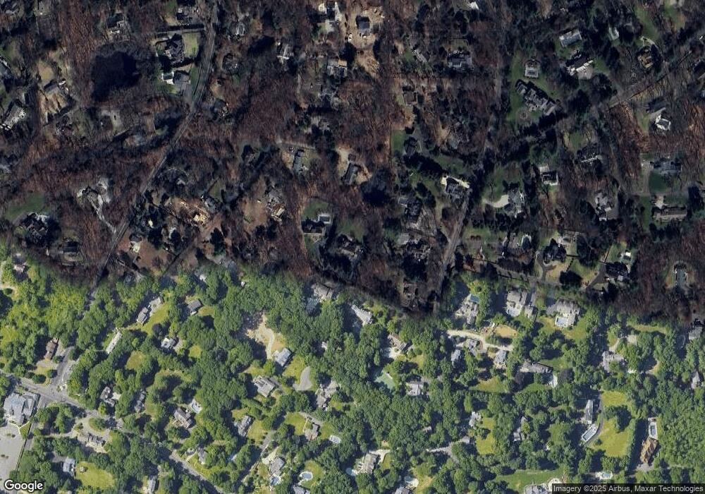
Map
Nearby Homes
- 25 Hermit Ln
- 40 Hermit Ln
- 4A Newtown Turnpike
- 30 Cavalry Rd
- 87 Red Coat Rd
- 10 Twin Falls Ln
- 259 Wilton Rd
- 56 Partrick Rd
- 4 Newtown Turnpike
- 6 Tulip Tree Ln
- 57 Partrick Rd
- 32 Thistle Rd
- 93 E Meadow Rd
- 41 Richmondville Ave Unit 104
- 41 Richmondville Ave Unit Duplex 2
- 41 Richmondville Ave Unit 303
- 41 Richmondville Ave Unit 111
- 41 Richmondville Ave Unit 101
- 41 Richmondville Ave Unit 105
- 31 Riverfield Dr