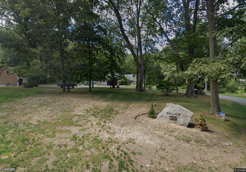
4 Burrage Ln Ipswich, MA 01938
Estimated Value: $1,214,219 - $1,367,000
3
Beds
4
Baths
3,050
Sq Ft
$424/Sq Ft
Est. Value
About This Home
This home is located at 4 Burrage Ln, Ipswich, MA 01938 and is currently estimated at $1,294,555, approximately $424 per square foot. 4 Burrage Ln is a home located in Essex County with nearby schools including Ipswich High School.
Ownership History
Date
Name
Owned For
Owner Type
Purchase Details
Closed on
Sep 24, 2018
Sold by
Steward Aaron L and Wallace Melissa E
Bought by
Wallace Ellen D and Wallace Lawrence L
Current Estimated Value
Purchase Details
Closed on
Jul 25, 2012
Sold by
Burrage Lane T
Bought by
Steward Aaron L and Wallace Melissa E
Home Financials for this Owner
Home Financials are based on the most recent Mortgage that was taken out on this home.
Original Mortgage
$350,000
Interest Rate
3.74%
Mortgage Type
New Conventional
Create a Home Valuation Report for This Property
The Home Valuation Report is an in-depth analysis detailing your home's value as well as a comparison with similar homes in the area
Home Values in the Area
Average Home Value in this Area
Purchase History
| Date | Buyer | Sale Price | Title Company |
|---|---|---|---|
| Wallace Ellen D | -- | -- | |
| Steward Aaron L | $595,000 | -- |
Source: Public Records
Mortgage History
| Date | Status | Borrower | Loan Amount |
|---|---|---|---|
| Previous Owner | Steward Aaron L | $350,000 | |
| Previous Owner | Steward Aaron L | $110,000 |
Source: Public Records
Tax History Compared to Growth
Tax History
| Year | Tax Paid | Tax Assessment Tax Assessment Total Assessment is a certain percentage of the fair market value that is determined by local assessors to be the total taxable value of land and additions on the property. | Land | Improvement |
|---|---|---|---|---|
| 2025 | $11,829 | $1,060,900 | $605,100 | $455,800 |
| 2024 | $11,371 | $999,200 | $588,700 | $410,500 |
| 2023 | $9,411 | $769,500 | $370,900 | $398,600 |
| 2022 | $9,289 | $722,300 | $362,200 | $360,100 |
| 2021 | $9,163 | $693,100 | $360,000 | $333,100 |
| 2020 | $9,343 | $666,400 | $362,200 | $304,200 |
| 2019 | $9,270 | $657,900 | $351,300 | $306,600 |
| 2018 | $8,944 | $628,100 | $338,200 | $289,900 |
| 2017 | $8,633 | $608,400 | $327,300 | $281,100 |
| 2016 | $8,301 | $559,000 | $309,900 | $249,100 |
| 2015 | $7,301 | $540,400 | $303,400 | $237,000 |
Source: Public Records
Map
Nearby Homes
- 154 Argilla Rd
- 11 Spillers Ln
- 60 Lakemans Ln
- 57 East St
- 16 Elm St
- 20 Summer St Unit 20
- 50-56 Market St
- 50 Market St Unit 2
- 0 Lanes End
- 500 Colonial Dr Unit 3
- 11 Washington St Unit 11
- 11 Washington St
- 11 Washington St Unit 7
- 11 Washington St Unit 5
- 11 Washington St Unit 10
- 11 Washington St Unit 4
- 11 Washington St Unit 12
- 11 Washington St Unit Nine
- 24 Primrose Ln Unit 24
- 21 Brownville Ave