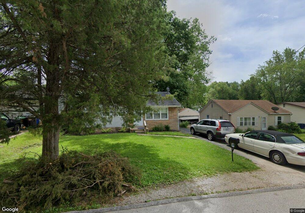
4 Cady Dr Saint Louis, MO 63135
Estimated Value: $69,000 - $118,000
2
Beds
2
Baths
816
Sq Ft
$113/Sq Ft
Est. Value
About This Home
This home is located at 4 Cady Dr, Saint Louis, MO 63135 and is currently estimated at $92,568, approximately $113 per square foot. 4 Cady Dr is a home located in St. Louis County with nearby schools including Walnut Grove Elementary School, Ferguson Middle School, and McCluer High School.
Ownership History
Date
Name
Owned For
Owner Type
Purchase Details
Closed on
Mar 6, 2013
Sold by
Leverett Donald L and Leverett Brenda K
Bought by
Pinkert Donald and Pinkert Pamela S
Current Estimated Value
Purchase Details
Closed on
Apr 3, 2002
Sold by
Robbins David L and Miller June T
Bought by
Leverett Donald L and Leverett Brenda K
Home Financials for this Owner
Home Financials are based on the most recent Mortgage that was taken out on this home.
Original Mortgage
$56,000
Interest Rate
8.99%
Purchase Details
Closed on
Sep 30, 1998
Sold by
Steging Marcia J
Bought by
Robbins David L and Miller June T
Home Financials for this Owner
Home Financials are based on the most recent Mortgage that was taken out on this home.
Original Mortgage
$43,200
Interest Rate
6.75%
Create a Home Valuation Report for This Property
The Home Valuation Report is an in-depth analysis detailing your home's value as well as a comparison with similar homes in the area
Home Values in the Area
Average Home Value in this Area
Purchase History
| Date | Buyer | Sale Price | Title Company |
|---|---|---|---|
| Pinkert Donald | $25,000 | Us Title Main | |
| Leverett Donald L | $56,000 | -- | |
| Robbins David L | -- | Land Title Company | |
| Robbins David L | -- | Land Title Company |
Source: Public Records
Mortgage History
| Date | Status | Borrower | Loan Amount |
|---|---|---|---|
| Previous Owner | Leverett Donald L | $56,000 | |
| Previous Owner | Robbins David L | $43,200 |
Source: Public Records
Tax History
| Year | Tax Paid | Tax Assessment Tax Assessment Total Assessment is a certain percentage of the fair market value that is determined by local assessors to be the total taxable value of land and additions on the property. | Land | Improvement |
|---|---|---|---|---|
| 2025 | $1,131 | $19,480 | $1,960 | $17,520 |
| 2024 | $1,131 | $14,270 | $780 | $13,490 |
| 2023 | $1,127 | $14,270 | $780 | $13,490 |
| 2022 | $994 | $11,000 | $2,340 | $8,660 |
| 2021 | $991 | $11,000 | $2,340 | $8,660 |
| 2020 | $1,050 | $10,870 | $1,580 | $9,290 |
| 2019 | $1,030 | $10,870 | $1,580 | $9,290 |
| 2018 | $1,094 | $10,360 | $1,220 | $9,140 |
| 2017 | $1,088 | $10,360 | $1,220 | $9,140 |
| 2016 | $1,121 | $10,400 | $1,980 | $8,420 |
Source: Public Records
Map
Nearby Homes
- 30 Grether Ave
- 13 Cady Dr
- 135 Grether Ave
- 135 Anistasia Dr
- 194 Elbring Dr
- 8 Drummond Dr
- 217 Anistasia Dr
- 230 Anistasia Dr
- 13 Barto Dr
- 104 Barto Dr
- 847 N Florissant Rd
- 116 Barto Dr
- 1825 S New Florissant Rd
- 201 Becker Dr
- 6637 Torlina Dr
- 1811 S New Florissant Rd
- 6625 Thurston Ave
- 273 Buddie Ave
- 242 Connolly Dr
- 233 Connolly Dr