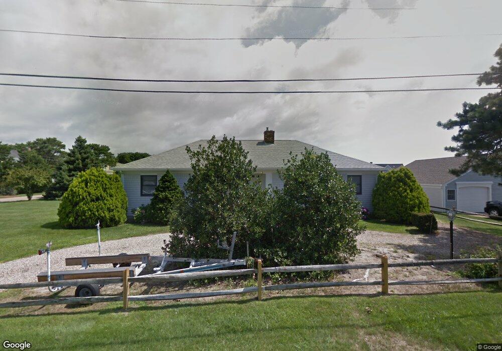
4 Capt Keavy Way -On the Fingers Dennis, MA 02670
West Dennis NeighborhoodEstimated Value: $1,510,000 - $1,823,000
3
Beds
2
Baths
1,800
Sq Ft
$910/Sq Ft
Est. Value
About This Home
This home is located at 4 Capt Keavy Way -On the Fingers, Dennis, MA 02670 and is currently estimated at $1,637,486, approximately $909 per square foot. 4 Capt Keavy Way -On the Fingers is a home located in Barnstable County with nearby schools including Dennis-Yarmouth Regional High School and St. Pius X. School.
Ownership History
Date
Name
Owned For
Owner Type
Purchase Details
Closed on
Jan 13, 2010
Sold by
Giovana Rt
Bought by
Captain Keavy Way Lt
Current Estimated Value
Purchase Details
Closed on
Sep 25, 2006
Sold by
Fichera Joanne T
Bought by
Giovanna Rt
Home Financials for this Owner
Home Financials are based on the most recent Mortgage that was taken out on this home.
Original Mortgage
$500,000
Interest Rate
6.59%
Create a Home Valuation Report for This Property
The Home Valuation Report is an in-depth analysis detailing your home's value as well as a comparison with similar homes in the area
Home Values in the Area
Average Home Value in this Area
Purchase History
| Date | Buyer | Sale Price | Title Company |
|---|---|---|---|
| Captain Keavy Way Lt | -- | -- | |
| Giovanna Rt | -- | -- |
Source: Public Records
Mortgage History
| Date | Status | Borrower | Loan Amount |
|---|---|---|---|
| Previous Owner | Giovanna Rt | $500,000 |
Source: Public Records
Tax History Compared to Growth
Tax History
| Year | Tax Paid | Tax Assessment Tax Assessment Total Assessment is a certain percentage of the fair market value that is determined by local assessors to be the total taxable value of land and additions on the property. | Land | Improvement |
|---|---|---|---|---|
| 2025 | $6,550 | $1,512,800 | $918,400 | $594,400 |
| 2024 | $6,375 | $1,452,200 | $883,200 | $569,000 |
| 2023 | $6,166 | $1,320,300 | $802,900 | $517,400 |
| 2022 | $4,936 | $881,400 | $496,000 | $385,400 |
| 2021 | $5,058 | $838,800 | $486,200 | $352,600 |
| 2020 | $5,377 | $806,200 | $486,200 | $320,000 |
| 2019 | $5,625 | $761,500 | $476,700 | $284,800 |
| 2018 | $2,707 | $782,300 | $520,000 | $262,300 |
| 2017 | $5,129 | $755,100 | $501,100 | $254,000 |
| 2016 | $4,967 | $760,600 | $543,600 | $217,000 |
| 2015 | $4,868 | $760,600 | $543,600 | $217,000 |
| 2014 | $4,830 | $760,600 | $543,600 | $217,000 |
Source: Public Records
Map
Nearby Homes
- 23 Doric Ave
- 14 Schoolhouse Ln
- 209 Main St Unit 3
- 209 Main St Unit 6
- 209 Main St Unit 1
- 209 Main St Unit 2
- 209 Main St Unit 4
- 209 Main St Unit 5
- 401 Main St Unit 201
- 401 Main St Unit 101
- 178 School St
- 467 Main St
- 428 Main St Unit 1-11
- 2 Rita Mary Way
- 61 Trotters Ln
- 45 Seth Ln
- 40 Kelley Rd
- 29 Bass River Rd
- 308 Old Main St
- 18 Turner Ln
- 1 Grand Cover Carriage House Unit 2b
- 2 Grand Cove Carriage House Unit 2B
- 152 School Condo Unit 8
- 39 Doric Ave
- 41 Doric Ave
- 265 Main St
- 31 Doric Ave
- 116 Pond St
- 126 Pond St
- 275 Main Route 28 St Unit 1
- 17 Doric Ave
- 38 Doric Ave
- 32 Doric Ave
- 46 Doric Ave
- 24 Fisk St
- 24 Doric Ave
- 141 Main St Unit 24 St Unit 24
- 100 Pond St
- 142 Pond St
- 18 Doric Ave