Estimated Value: $1,048,946 - $1,253,000
4
Beds
4
Baths
2,260
Sq Ft
$505/Sq Ft
Est. Value
About This Home
This home is located at 4 Captain Browns Ln, Acton, MA 01720 and is currently estimated at $1,142,237, approximately $505 per square foot. 4 Captain Browns Ln is a home located in Middlesex County with nearby schools including Acton-Boxborough Regional High School, Maynard Knowledge Beginnings, and The Imago School.
Ownership History
Date
Name
Owned For
Owner Type
Purchase Details
Closed on
Jul 3, 2002
Sold by
Morse Alan C and Morse Maureen K
Bought by
Stern Lawrence J and Karp Amy M
Current Estimated Value
Home Financials for this Owner
Home Financials are based on the most recent Mortgage that was taken out on this home.
Original Mortgage
$300,000
Interest Rate
6.82%
Mortgage Type
Purchase Money Mortgage
Purchase Details
Closed on
Jul 31, 1998
Sold by
Wilson Patricia H
Bought by
Morse Alan C and Morse Maureen K
Create a Home Valuation Report for This Property
The Home Valuation Report is an in-depth analysis detailing your home's value as well as a comparison with similar homes in the area
Home Values in the Area
Average Home Value in this Area
Purchase History
| Date | Buyer | Sale Price | Title Company |
|---|---|---|---|
| Stern Lawrence J | $569,000 | -- | |
| Morse Alan C | $385,000 | -- |
Source: Public Records
Mortgage History
| Date | Status | Borrower | Loan Amount |
|---|---|---|---|
| Open | Morse Alan C | $276,000 | |
| Closed | Morse Alan C | $283,000 | |
| Closed | Stern Lawrence J | $300,000 | |
| Previous Owner | Morse Alan C | $30,000 | |
| Previous Owner | Morse Alan C | $25,000 |
Source: Public Records
Tax History Compared to Growth
Tax History
| Year | Tax Paid | Tax Assessment Tax Assessment Total Assessment is a certain percentage of the fair market value that is determined by local assessors to be the total taxable value of land and additions on the property. | Land | Improvement |
|---|---|---|---|---|
| 2025 | $16,479 | $960,900 | $369,400 | $591,500 |
| 2024 | $15,400 | $923,800 | $369,400 | $554,400 |
| 2023 | $13,316 | $758,300 | $336,000 | $422,300 |
| 2022 | $12,615 | $648,600 | $292,000 | $356,600 |
| 2021 | $12,298 | $607,900 | $270,100 | $337,800 |
| 2020 | $11,606 | $603,200 | $270,100 | $333,100 |
| 2019 | $11,271 | $581,900 | $270,100 | $311,800 |
| 2018 | $11,089 | $572,200 | $270,100 | $302,100 |
| 2017 | $10,813 | $567,300 | $270,100 | $297,200 |
| 2016 | $10,626 | $552,600 | $270,100 | $282,500 |
| 2015 | $10,418 | $546,900 | $270,100 | $276,800 |
| 2014 | $10,258 | $527,400 | $270,100 | $257,300 |
Source: Public Records
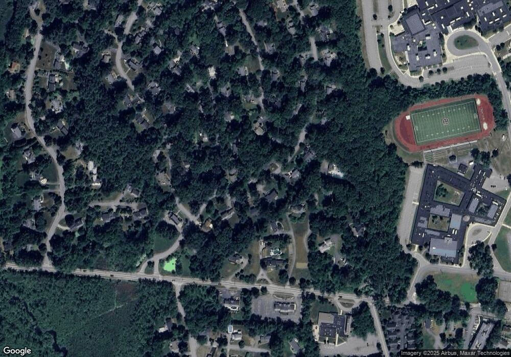
Map
Nearby Homes
- 285 Central St Unit 285
- 89 Windsor Ave
- 9 Elm St Unit 1
- 5 Elm St Unit 1
- 4,7,8 Crestwood Ln
- 31 Mohawk Dr
- 169 Main St
- 92 Willow St Unit 3
- 92 Willow St Unit 2
- 90 Willow St Unit 1
- 19 Railroad St Unit C2
- 129 Main St Unit 129
- 129 Main St
- 131 Main St
- 4 Huron Rd
- 5 Oakwood Rd
- 8 Laurel Ct
- 86 School St
- 23 John Swift Rd
- 68 Macintosh Ln
- 9 Deacon Hunt Dr
- 6 Captain Browns Ln
- 5 Captain Browns Ln
- 3 Captain Browns Ln
- 11 Deacon Hunt Dr
- 1 Captain Browns Ln
- 7 Captain Browns Ln
- 10 Deacon Hunt Dr
- 2 Captain Forbush Ln
- 469 Massachusetts Ave
- 467 Massachusetts Ave
- 4 Captain Forbush Ln
- 8 Deacon Hunt Dr
- 12 Deacon Hunt Dr
- 13 Deacon Hunt Dr
- 5 Deacon Hunt Dr
- 9 Captain Browns Ln
- 3 Joseph Reed Ln
- 465 Massachusetts Ave
- 6 Captain Forbush Ln