4 Cedar Ln Georgetown, MA 01833
Estimated Value: $820,000 - $943,000
3
Beds
4
Baths
2,766
Sq Ft
$319/Sq Ft
Est. Value
About This Home
This home is located at 4 Cedar Ln, Georgetown, MA 01833 and is currently estimated at $881,767, approximately $318 per square foot. 4 Cedar Ln is a home located in Essex County with nearby schools including Perley Elementary School, Penn Brook School, and Georgetown High School.
Ownership History
Date
Name
Owned For
Owner Type
Purchase Details
Closed on
Jun 30, 1999
Sold by
Venora Robert P and Venora Kathleen A
Bought by
Reale Joseph D and Reale Kimberly A
Current Estimated Value
Purchase Details
Closed on
May 16, 1996
Sold by
Cedar Lane Rt and Singleton Nancy M
Bought by
Venora Robert P and Venora Kathleen
Create a Home Valuation Report for This Property
The Home Valuation Report is an in-depth analysis detailing your home's value as well as a comparison with similar homes in the area
Home Values in the Area
Average Home Value in this Area
Purchase History
| Date | Buyer | Sale Price | Title Company |
|---|---|---|---|
| Reale Joseph D | $290,000 | -- | |
| Venora Robert P | $235,000 | -- |
Source: Public Records
Mortgage History
| Date | Status | Borrower | Loan Amount |
|---|---|---|---|
| Open | Venora Robert P | $220,000 | |
| Closed | Venora Robert P | $100,000 | |
| Closed | Venora Robert P | $35,500 |
Source: Public Records
Tax History
| Year | Tax Paid | Tax Assessment Tax Assessment Total Assessment is a certain percentage of the fair market value that is determined by local assessors to be the total taxable value of land and additions on the property. | Land | Improvement |
|---|---|---|---|---|
| 2025 | $9,294 | $840,300 | $268,700 | $571,600 |
| 2024 | $9,128 | $727,300 | $185,400 | $541,900 |
| 2023 | $7,859 | $605,500 | $185,400 | $420,100 |
| 2022 | $7,689 | $546,100 | $161,200 | $384,900 |
| 2021 | $7,513 | $472,800 | $161,200 | $311,600 |
| 2020 | $7,527 | $472,800 | $161,200 | $311,600 |
| 2019 | $7,412 | $469,700 | $158,100 | $311,600 |
| 2018 | $7,459 | $469,700 | $158,100 | $311,600 |
| 2017 | $7,186 | $443,300 | $158,100 | $285,200 |
| 2016 | $6,942 | $437,400 | $158,100 | $279,300 |
| 2015 | $6,781 | $423,000 | $158,100 | $264,900 |
| 2014 | $5,857 | $416,900 | $158,100 | $258,800 |
Source: Public Records
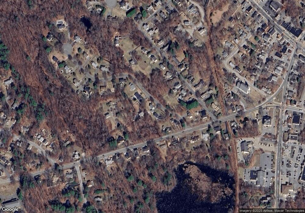
Map
Nearby Homes
- 11 Central St
- 51 W Main St Unit 6
- 69 Pond St
- 8 Molloy Rd
- 206 W Main St Unit 5
- 206 W Main St Unit 9
- 206 W Main St Unit 2
- 206 W Main St Unit 8
- 231 W Main St
- 107 King George Dr Unit 9
- 1 Atwood Ln
- 603 Alyssa Dr Unit 603
- 534 Ipswich Rd
- 12 Hope Ln Unit 14
- 24 Appleton Ln
- 89 King St
- 98 King St
- 34 Woodcrest Rd
- 141 Washington St
- 150 Georgetown Rd