4 Cedar Ln Mendham, NJ 07945
Estimated Value: $1,411,987 - $2,881,000
Studio
--
Bath
3,997
Sq Ft
$457/Sq Ft
Est. Value
About This Home
This home is located at 4 Cedar Ln, Mendham, NJ 07945 and is currently estimated at $1,826,247, approximately $456 per square foot. 4 Cedar Ln is a home located in Morris County with nearby schools including Mendham Township Elementary School, Mendham Township Middle School, and West Morris Mendham High School.
Ownership History
Date
Name
Owned For
Owner Type
Purchase Details
Closed on
Aug 8, 2015
Sold by
Strafaci Irene F
Bought by
Strafaci Frank T and Strafaci Irene F
Current Estimated Value
Purchase Details
Closed on
Aug 31, 1993
Sold by
Rulle Michael
Bought by
Strafaci Irene
Home Financials for this Owner
Home Financials are based on the most recent Mortgage that was taken out on this home.
Original Mortgage
$150,000
Interest Rate
7.16%
Create a Home Valuation Report for This Property
The Home Valuation Report is an in-depth analysis detailing your home's value as well as a comparison with similar homes in the area
Home Values in the Area
Average Home Value in this Area
Purchase History
| Date | Buyer | Sale Price | Title Company |
|---|---|---|---|
| Strafaci Frank T | -- | Attorney | |
| Strafaci Irene | $650,000 | -- |
Source: Public Records
Mortgage History
| Date | Status | Borrower | Loan Amount |
|---|---|---|---|
| Closed | Strafaci Irene | $150,000 |
Source: Public Records
Tax History
| Year | Tax Paid | Tax Assessment Tax Assessment Total Assessment is a certain percentage of the fair market value that is determined by local assessors to be the total taxable value of land and additions on the property. | Land | Improvement |
|---|---|---|---|---|
| 2025 | $22,974 | $1,269,200 | $515,900 | $753,300 |
| 2024 | $22,480 | $1,183,000 | $465,900 | $717,100 |
Source: Public Records
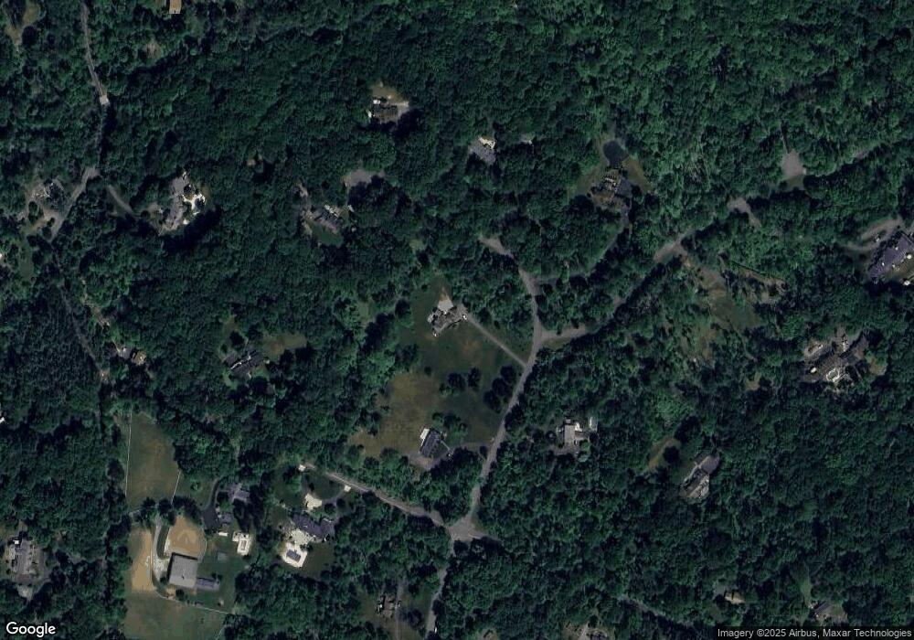
Map
Nearby Homes
- 31 Warren Cutting
- 290 Mountainside Rd
- 239B Mountainside Rd
- 211 Mountainside Rd
- 309 North Rd
- 5 Calais Rd
- 7 Calais Rd
- 559 State Route 24
- 3 Birch St
- 6 Phoenix Dr
- 40 Mountain Ave
- 48 W Main St
- 3 New St
- 1 Mountain View Dr
- 16 Galway Dr
- 22 Cooper Ln
- 25 Budd St
- 67 Hampshire Dr
- 7 Sorman Terrace
- 6 Cold Hill Rd
Your Personal Tour Guide
Ask me questions while you tour the home.