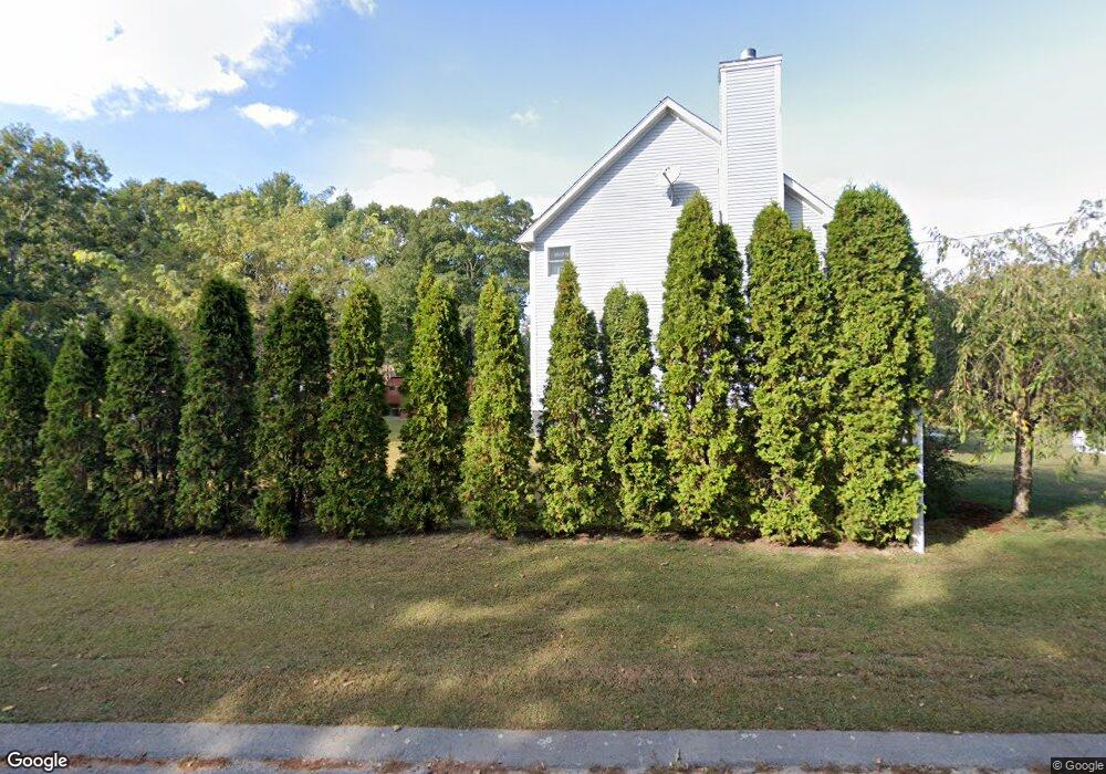
4 Cedar Ln Unit RED Westport, MA 02790
Westport Point NeighborhoodEstimated Value: $749,579 - $1,243,000
2
Beds
--
Bath
1,844
Sq Ft
$500/Sq Ft
Est. Value
About This Home
This home is located at 4 Cedar Ln Unit RED, Westport, MA 02790 and is currently estimated at $921,645, approximately $499 per square foot. 4 Cedar Ln Unit RED is a home located in Bristol County with nearby schools including Alice A. Macomber Primary School, Westport Elementary School, and Westport Middle-High School.
Ownership History
Date
Name
Owned For
Owner Type
Purchase Details
Closed on
Apr 11, 2013
Sold by
Foerster Walter E and Foerster Susan R
Bought by
Foerster Jason
Current Estimated Value
Purchase Details
Closed on
Oct 21, 1988
Sold by
Foerster William J
Bought by
Foerster Walter E
Create a Home Valuation Report for This Property
The Home Valuation Report is an in-depth analysis detailing your home's value as well as a comparison with similar homes in the area
Home Values in the Area
Average Home Value in this Area
Purchase History
| Date | Buyer | Sale Price | Title Company |
|---|---|---|---|
| Foerster Jason | -- | -- | |
| Foerster Walter E | $3,306 | -- |
Source: Public Records
Tax History
| Year | Tax Paid | Tax Assessment Tax Assessment Total Assessment is a certain percentage of the fair market value that is determined by local assessors to be the total taxable value of land and additions on the property. | Land | Improvement |
|---|---|---|---|---|
| 2025 | $5,546 | $744,400 | $416,800 | $327,600 |
| 2024 | $5,460 | $706,300 | $386,100 | $320,200 |
| 2023 | $5,068 | $621,100 | $318,700 | $302,400 |
| 2022 | $4,617 | $559,500 | $318,700 | $240,800 |
| 2021 | $4,617 | $535,600 | $289,700 | $245,900 |
| 2020 | $4,418 | $524,100 | $278,200 | $245,900 |
| 2019 | $4,240 | $512,700 | $278,200 | $234,500 |
| 2018 | $3,148 | $385,300 | $210,700 | $174,600 |
| 2017 | $3,223 | $404,400 | $228,000 | $176,400 |
| 2016 | $3,253 | $411,200 | $247,600 | $163,600 |
| 2015 | $3,086 | $389,100 | $230,300 | $158,800 |
Source: Public Records
Map
Nearby Homes
- 2 Olin Howland Way
- 1 Puddingstone Cir
- 238-242 E Beach Rd
- Lot 2 Horseneck Rd
- 649 Horseneck Rd
- 255 John Dyer Rd
- 920 Drift Rd
- 332 Division Rd
- 25 Quail Trail
- 245 John Dyer Rd
- Lot 2E Horseneck Rd
- 17 Quail Trail
- 101 Adamsville Rd
- 2 Slades Farm Ln
- 837 Main Road & Lot 2
- 16 Wadsworth Ln
- 505 Long Hwy
- 8 Village Way
- 116 Amy Hart Path
- 18 Old Barn Rd
- 2 Cedar Ln Unit RED
- 9 Red Cedar Rd
- 9 Cedar Ln Unit RED
- 22 Cedar Ln Unit RED
- 6 Drift Rd
- 15 Red Cedar Rd
- 15 Cedar Ln Unit RED
- 1 Osprey Ln
- 22 Red Cedar Rd
- 1 Osborn St Unit 1
- 59 E Shore Rd
- Lot 130 Red Cedar Rd
- 54 E Shore Rd
- 48 E Shore Rd
- 25 E Shore Rd
- 58 E Shore Rd
- 0 E Shore Rd Unit 71256574
- 0 E Shore Rd Unit 71619746
- 10 E East Shore Rd Unit 10
- 62 E Shore Rd
Your Personal Tour Guide
Ask me questions while you tour the home.