4 Cedar Wax Wing Rd Hackettstown, NJ 07840
Estimated Value: $547,327 - $685,000
--
Bed
--
Bath
2,828
Sq Ft
$220/Sq Ft
Est. Value
About This Home
This home is located at 4 Cedar Wax Wing Rd, Hackettstown, NJ 07840 and is currently estimated at $621,082, approximately $219 per square foot. 4 Cedar Wax Wing Rd is a home located in Warren County with nearby schools including Mountain Villa School, Allamuchy Township Elementary School, and Tranquility Adventist School.
Ownership History
Date
Name
Owned For
Owner Type
Purchase Details
Closed on
Nov 16, 1998
Sold by
Fields John A and Fields Joan A
Bought by
Ward Stephen and Ward Diane
Current Estimated Value
Home Financials for this Owner
Home Financials are based on the most recent Mortgage that was taken out on this home.
Original Mortgage
$250,800
Outstanding Balance
$54,263
Interest Rate
6.49%
Estimated Equity
$566,819
Purchase Details
Closed on
Feb 2, 1994
Sold by
Shoot Marjorie M
Bought by
Fields John A and Fields Joan
Create a Home Valuation Report for This Property
The Home Valuation Report is an in-depth analysis detailing your home's value as well as a comparison with similar homes in the area
Home Values in the Area
Average Home Value in this Area
Purchase History
| Date | Buyer | Sale Price | Title Company |
|---|---|---|---|
| Ward Stephen | $313,500 | -- | |
| Fields John A | $222,500 | -- |
Source: Public Records
Mortgage History
| Date | Status | Borrower | Loan Amount |
|---|---|---|---|
| Open | Ward Stephen | $250,800 |
Source: Public Records
Tax History Compared to Growth
Tax History
| Year | Tax Paid | Tax Assessment Tax Assessment Total Assessment is a certain percentage of the fair market value that is determined by local assessors to be the total taxable value of land and additions on the property. | Land | Improvement |
|---|---|---|---|---|
| 2025 | $10,734 | $334,400 | $92,800 | $241,600 |
| 2024 | $11,985 | $334,400 | $92,800 | $241,600 |
| 2023 | $11,774 | $334,400 | $92,800 | $241,600 |
| 2022 | $11,774 | $334,400 | $92,800 | $241,600 |
| 2021 | $8,571 | $334,400 | $92,800 | $241,600 |
| 2020 | $9,875 | $334,400 | $92,800 | $241,600 |
| 2019 | $9,714 | $334,400 | $92,800 | $241,600 |
| 2018 | $11,199 | $334,400 | $92,800 | $241,600 |
| 2017 | $9,818 | $334,400 | $92,800 | $241,600 |
| 2016 | $9,744 | $334,400 | $92,800 | $241,600 |
| 2015 | $11,226 | $334,400 | $92,800 | $241,600 |
| 2014 | $10,764 | $334,400 | $92,800 | $241,600 |
Source: Public Records
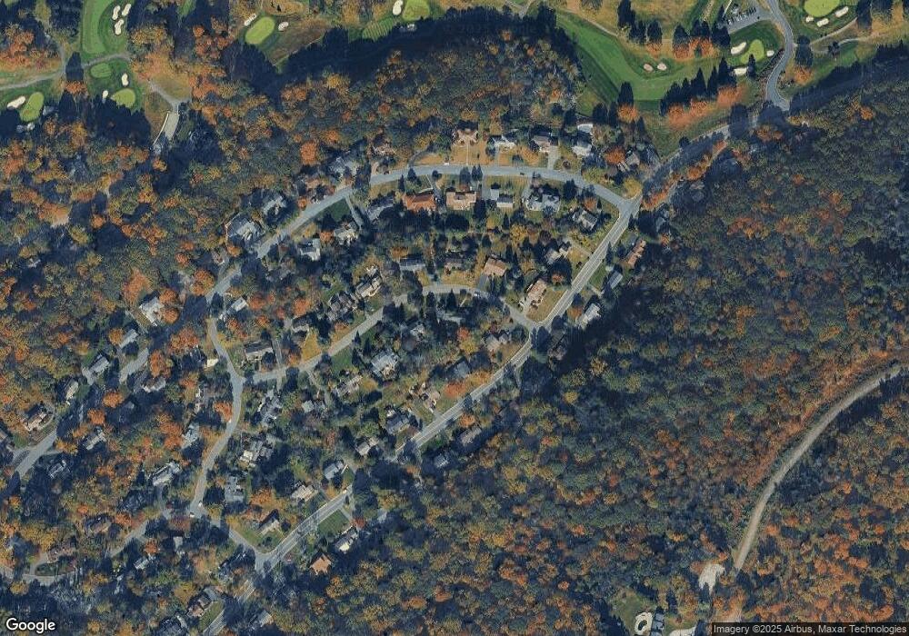
Map
Nearby Homes
- 63 Bald Eagle Rd
- 7 Killdeer Glen
- 11 Killdeer Dr
- 26 Goldfinch Dr
- 41 Killdeer Place
- 108 Goldfinch Meadows
- 15 Ajax Ct
- 5 Ajax Ct
- 57 Marsh Hawk Unit 8
- 156 Osprey Unit 5
- 25 Osprey Unit C2G3
- 19 Rainier Ct
- 10 Rushmore Ln
- 11 Pheasant Run
- 17 Alexanders Rd
- 300 Alphano Rd
- 21 Junegrass Way Unit 1921
- 7 Poplar Ct
- 7 Canada Goose Dr
- 25 Green Heron Dr
- 6 Cedar Wax Wing Rd
- 61 Bald Eagle Rd
- 5 Cedar Wax Wing Rd
- 3 Cedar Wax Wing Rd
- 7 Cedar Wax Wing Rd
- 8 Cedar Wax Wing Rd
- 59 Bald Eagle Rd
- 9 Cedar Wax Wing Rd
- 60 Bald Eagle Rd
- 58 Bald Eagle Rd
- 67 Bald Eagle Rd
- 8 Mockingbird
- 11 Cedar Wax Wing Rd
- 10 Mockingbird
- 57 Bald Eagle Rd
- 56 Bald Eagle Rd
- 6 Mockingbird
- 62 Bald Eagle Rd
- 10 Cedar Wax Wing Rd
- 10 Cedar Waxwing Rd