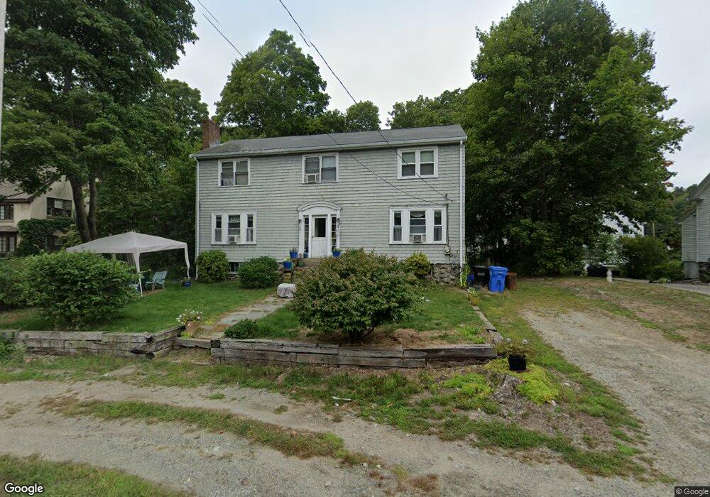
4 Chester Brook Rd Waltham, MA 02452
Piety Corner NeighborhoodEstimated Value: $894,850 - $1,077,000
5
Beds
2
Baths
1,976
Sq Ft
$488/Sq Ft
Est. Value
About This Home
This home is located at 4 Chester Brook Rd, Waltham, MA 02452 and is currently estimated at $964,963, approximately $488 per square foot. 4 Chester Brook Rd is a home located in Middlesex County with nearby schools including Thomas R Plympton Elementary School, John F Kennedy Middle School, and Waltham Sr High School.
Ownership History
Date
Name
Owned For
Owner Type
Purchase Details
Closed on
Dec 16, 1998
Sold by
Pratt Karen E and Pratt Kevin L
Bought by
Pratt Karen E
Current Estimated Value
Home Financials for this Owner
Home Financials are based on the most recent Mortgage that was taken out on this home.
Original Mortgage
$143,150
Outstanding Balance
$32,713
Interest Rate
6.85%
Mortgage Type
Purchase Money Mortgage
Estimated Equity
$932,250
Create a Home Valuation Report for This Property
The Home Valuation Report is an in-depth analysis detailing your home's value as well as a comparison with similar homes in the area
Home Values in the Area
Average Home Value in this Area
Purchase History
| Date | Buyer | Sale Price | Title Company |
|---|---|---|---|
| Pratt Karen E | $123,333 | -- |
Source: Public Records
Mortgage History
| Date | Status | Borrower | Loan Amount |
|---|---|---|---|
| Open | Pratt Karen E | $143,150 |
Source: Public Records
Tax History Compared to Growth
Tax History
| Year | Tax Paid | Tax Assessment Tax Assessment Total Assessment is a certain percentage of the fair market value that is determined by local assessors to be the total taxable value of land and additions on the property. | Land | Improvement |
|---|---|---|---|---|
| 2025 | $7,665 | $780,600 | $389,700 | $390,900 |
| 2024 | $7,557 | $783,900 | $389,700 | $394,200 |
| 2023 | $7,481 | $724,900 | $355,000 | $369,900 |
| 2022 | $7,534 | $676,300 | $324,100 | $352,200 |
| 2021 | $7,470 | $659,900 | $324,100 | $335,800 |
| 2020 | $7,293 | $610,300 | $293,300 | $317,000 |
| 2019 | $6,625 | $523,300 | $287,600 | $235,700 |
| 2018 | $6,021 | $477,500 | $266,300 | $211,200 |
| 2017 | $5,706 | $454,300 | $243,100 | $211,200 |
| 2016 | $5,372 | $438,900 | $227,700 | $211,200 |
| 2015 | $5,453 | $415,300 | $216,100 | $199,200 |
Source: Public Records
Map
Nearby Homes
- 511 Lexington St
- 49 Lincoln St
- 28 College Farm Rd Unit 2
- 44 Sachem St
- 16 Winter St Unit 26C
- 326 Bacon St
- 14 Piedmont Ave
- 65 Montclair Ave
- 28 Hillcrest St
- 129 Lake St
- 133 Lake St
- 14 Claremont St
- 30 Wampum Ave
- 15 Cedarcroft Ln
- 70 Rosewood Dr
- 234 Lake St
- 249 Lake St
- 14 Willard St
- 116 Raffaele Dr
- 92 Milner St
- 21 Stanley Rd
- 2 Chester Brook Rd
- 11 Stanley Rd
- 94 Chester Brook Rd
- 1 Chester Brook Rd
- 3 Chester Brook Rd
- 9 Chester Brook Rd
- 543 Lexington St
- 18 Chester Brook Rd
- 549 Lexington St
- 15 Chester Brook Rd
- 539 Lexington St
- 12 Stanley Rd
- 26 Chester Brook Rd
- 533 Lexington St
- 23 Chester Brook Rd
- 529 Lexington St
- 561 Lexington St
- 525 Lexington St
- 3 Chest Brook Rd