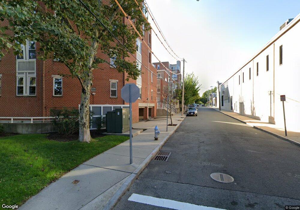
4 Chestnut St Cambridge, MA 02139
Cambridgeport NeighborhoodEstimated Value: $879,000 - $990,000
2
Beds
2
Baths
1,104
Sq Ft
$843/Sq Ft
Est. Value
About This Home
This home is located at 4 Chestnut St, Cambridge, MA 02139 and is currently estimated at $930,862, approximately $843 per square foot. 4 Chestnut St is a home located in Middlesex County with nearby schools including Prospect Hill Academy Charter School, New England Hebrew Academy, and Boston University Academy.
Ownership History
Date
Name
Owned For
Owner Type
Purchase Details
Closed on
Jul 30, 1998
Sold by
Beckmann Paul and Beckmann Chinfan
Bought by
Falcone Michael
Current Estimated Value
Home Financials for this Owner
Home Financials are based on the most recent Mortgage that was taken out on this home.
Original Mortgage
$189,050
Interest Rate
6.92%
Mortgage Type
Purchase Money Mortgage
Create a Home Valuation Report for This Property
The Home Valuation Report is an in-depth analysis detailing your home's value as well as a comparison with similar homes in the area
Home Values in the Area
Average Home Value in this Area
Purchase History
| Date | Buyer | Sale Price | Title Company |
|---|---|---|---|
| Falcone Michael | $199,000 | -- |
Source: Public Records
Mortgage History
| Date | Status | Borrower | Loan Amount |
|---|---|---|---|
| Open | Falcone Michael | $140,000 | |
| Closed | Falcone Michael | $191,000 | |
| Closed | Falcone Michael | $189,000 | |
| Closed | Falcone Michael | $189,050 |
Source: Public Records
Tax History Compared to Growth
Tax History
| Year | Tax Paid | Tax Assessment Tax Assessment Total Assessment is a certain percentage of the fair market value that is determined by local assessors to be the total taxable value of land and additions on the property. | Land | Improvement |
|---|---|---|---|---|
| 2025 | $4,959 | $780,900 | $0 | $780,900 |
| 2024 | $4,597 | $776,600 | $0 | $776,600 |
| 2023 | $4,413 | $753,000 | $0 | $753,000 |
| 2022 | $4,360 | $736,500 | $0 | $736,500 |
| 2021 | $4,193 | $716,800 | $0 | $716,800 |
| 2020 | $4,146 | $721,100 | $0 | $721,100 |
| 2019 | $3,849 | $647,900 | $0 | $647,900 |
| 2018 | $3,756 | $597,100 | $0 | $597,100 |
| 2017 | $3,657 | $563,500 | $0 | $563,500 |
| 2016 | $3,513 | $502,600 | $0 | $502,600 |
| 2015 | $3,491 | $446,400 | $0 | $446,400 |
| 2014 | $3,462 | $413,100 | $0 | $413,100 |
Source: Public Records
Map
Nearby Homes
- 260 Sidney St Unit 3R
- 131 Erie St Unit 3
- 131 Erie St
- 161 Hamilton St
- 214 Allston St
- 174 Hamilton St
- 125 Brookline St Unit 4
- 8 Watson St Unit 8
- 6-8 Watson St Unit 8
- 127 Auburn St
- 129 Auburn St
- 180 Ivy St
- 566 Commonwealth Ave Unit L101
- 566 Commonwealth Ave Unit 804
- 566 Commonwealth Ave Unit 710
- 566 Commonwealth Ave Unit 1110
- 1 Jay St
- 178 Ivy St
- 19 Thatcher St Unit E13
- 16 Miner St Unit 501
- 6 Chestnut St Unit 6
- 12 Chestnut St
- 6 Chestnut St
- 12 Chestnut St Unit 12
- 12 Chestnut St Unit 1
- 6 Chestnut St Unit 4
- 6 Chestnut St
- 6 Chestnut St
- 14 Chestnut St
- 14 Chestnut St Unit 14 Chestnut St.
- 10 Chestnut St
- 10 Chestnut St Unit 10
- 9 Henry St
- 9 Henry St Unit 9
- 2 Chestnut St Unit 34
- 2 Chestnut St Unit 32
- 2 Chestnut St Unit 54
- 2 Chestnut St Unit PH53
- 2 Chestnut St Unit 44
- 2 Chestnut St Unit 12