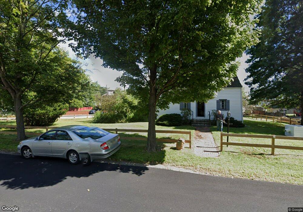
4 Circle Dr Ledgewood, NJ 07852
Estimated Value: $253,000 - $365,816
2
Beds
1
Bath
1,392
Sq Ft
$211/Sq Ft
Est. Value
About This Home
This home is located at 4 Circle Dr, Ledgewood, NJ 07852 and is currently estimated at $294,204, approximately $211 per square foot. 4 Circle Dr is a home located in Morris County with nearby schools including Eisenhower Middle School, Lincoln Roosevelt Elementary School, and Roxbury High School.
Ownership History
Date
Name
Owned For
Owner Type
Purchase Details
Closed on
Aug 27, 2025
Sold by
Kos Enterprises Llc
Bought by
M A Samos Llc
Current Estimated Value
Home Financials for this Owner
Home Financials are based on the most recent Mortgage that was taken out on this home.
Original Mortgage
$290,100
Interest Rate
6.5%
Mortgage Type
Construction
Purchase Details
Closed on
Nov 18, 2020
Sold by
4 Circle Rox Llc
Bought by
Kos Enterprises Llc
Purchase Details
Closed on
May 1, 2017
Sold by
Seretis Pauline and Seretis Tom
Bought by
4 Circle Rox Llc
Purchase Details
Closed on
Mar 11, 2005
Sold by
Seretis Pauline
Bought by
Seretis Pauline and Seretis Tom
Purchase Details
Closed on
Nov 17, 2004
Sold by
Seretis Thomas
Bought by
Seretis Thomas
Create a Home Valuation Report for This Property
The Home Valuation Report is an in-depth analysis detailing your home's value as well as a comparison with similar homes in the area
Home Values in the Area
Average Home Value in this Area
Purchase History
| Date | Buyer | Sale Price | Title Company |
|---|---|---|---|
| M A Samos Llc | $250,000 | Stewart Title | |
| Kos Enterprises Llc | $183,270 | Belmont Ttl & Setmnt Svcs Ll | |
| 4 Circle Rox Llc | $110,000 | None Available | |
| Seretis Pauline | -- | -- | |
| Seretis Pauline | -- | -- | |
| Seretis Thomas | -- | -- |
Source: Public Records
Mortgage History
| Date | Status | Borrower | Loan Amount |
|---|---|---|---|
| Previous Owner | M A Samos Llc | $290,100 |
Source: Public Records
Tax History
| Year | Tax Paid | Tax Assessment Tax Assessment Total Assessment is a certain percentage of the fair market value that is determined by local assessors to be the total taxable value of land and additions on the property. | Land | Improvement |
|---|---|---|---|---|
| 2025 | $6,570 | $239,000 | $88,100 | $150,900 |
| 2024 | $6,467 | $239,000 | $88,100 | $150,900 |
Source: Public Records
Map
Nearby Homes
- 16 Mount Arlington Rd
- 7 Drake Ln
- 238 Drake Ln Unit 238
- 198 Drake Ln Unit 198
- 894 Route46ken
- 56 Woods Edge Dr
- 30 Woods Edge Dr
- 39 Loch Ln
- 27 Loch Ln
- 30 Pasture Ct
- 119 Woods Edge Dr Unit 119
- 33 N Hillside Ave
- 56 N Hillside Ave
- 111 Main St Succ
- 15 Melissa Ln
- 63 Hercules Rd
- 37 Esposito Ln
- 54 Mapledale Ave
- 37 Lazarus Dr
- 1 Mekeel Dr
Your Personal Tour Guide
Ask me questions while you tour the home.