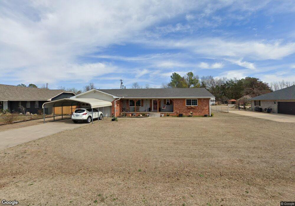
4 Clark Cir Shawnee, OK 74804
Estimated Value: $185,960 - $228,000
3
Beds
2
Baths
1,624
Sq Ft
$123/Sq Ft
Est. Value
About This Home
This home is located at 4 Clark Cir, Shawnee, OK 74804 and is currently estimated at $198,990, approximately $122 per square foot. 4 Clark Cir is a home located in Pottawatomie County with nearby schools including Dale Elementary School, Dale Middle School, and Dale High School.
Ownership History
Date
Name
Owned For
Owner Type
Purchase Details
Closed on
Feb 27, 2019
Sold by
Reavis Thomas Marshall and Reavis Patricia Louise
Bought by
Reavis Patricia Louise
Current Estimated Value
Purchase Details
Closed on
Dec 28, 2018
Sold by
Marahall Ralim Patricw Lawie and Marahall Ralim Hiland Thomas
Bought by
Ramiew Patrice Lowrie
Purchase Details
Closed on
Sep 26, 2016
Sold by
Reavis Patricia Louise and Reavis Thomas Marshal
Bought by
Reavis Patricia Louse and Reavis Thomas Marshall
Purchase Details
Closed on
Jun 7, 2006
Sold by
Escobedo Llc
Bought by
Stealey Patricia Louise
Home Financials for this Owner
Home Financials are based on the most recent Mortgage that was taken out on this home.
Original Mortgage
$40,000
Interest Rate
12%
Mortgage Type
Purchase Money Mortgage
Create a Home Valuation Report for This Property
The Home Valuation Report is an in-depth analysis detailing your home's value as well as a comparison with similar homes in the area
Home Values in the Area
Average Home Value in this Area
Purchase History
| Date | Buyer | Sale Price | Title Company |
|---|---|---|---|
| Reavis Patricia Louise | -- | None Available | |
| Ramiew Patrice Lowrie | -- | None Available | |
| Reavis Patricia Louse | -- | None Available | |
| Stealey Patricia Louise | $120,000 | None Available |
Source: Public Records
Mortgage History
| Date | Status | Borrower | Loan Amount |
|---|---|---|---|
| Previous Owner | Stealey Patricia Louise | $40,000 |
Source: Public Records
Tax History Compared to Growth
Tax History
| Year | Tax Paid | Tax Assessment Tax Assessment Total Assessment is a certain percentage of the fair market value that is determined by local assessors to be the total taxable value of land and additions on the property. | Land | Improvement |
|---|---|---|---|---|
| 2025 | $1,134 | $11,382 | $748 | $10,634 |
| 2024 | $1,177 | $11,382 | $960 | $10,422 |
| 2023 | $1,177 | $11,382 | $960 | $10,422 |
| 2022 | $1,066 | $11,382 | $960 | $10,422 |
| 2021 | $1,170 | $11,382 | $960 | $10,422 |
| 2020 | $1,195 | $11,608 | $960 | $10,648 |
| 2019 | $1,268 | $11,834 | $960 | $10,874 |
| 2018 | $1,271 | $11,978 | $960 | $11,018 |
| 2017 | $1,266 | $12,338 | $960 | $11,378 |
| 2016 | $1,074 | $11,979 | $960 | $11,019 |
| 2015 | $1,043 | $11,630 | $960 | $10,670 |
| 2014 | $1,043 | $11,564 | $960 | $10,604 |
Source: Public Records
Map
Nearby Homes
- 15 Gaddy Rd
- 36605 W 45th St
- 36601 W 45th St
- 120 Acres Hwy 140 & Hwy 177 Rd
- 5557 Coker Rd
- 13804 Coker Rd
- 2666 Legacy Place
- 2700 Woodlawn Ct
- 70 Kristen Ct
- 121 Lake Shore Dr
- 129 Lake Shore Dr
- 38604 Collina Dr
- 36236 Prairie Ridge Ct
- 00 Gaddy Lot 2 Rd
- 36021 Prairie Rdg Rd
- 35502 Pecan Grove Rd
- 35407 Westech Rd
- 36506 Garretts Lake Rd
- 37614 W Macarthur St
- 36656 Garrett's Lake Rd