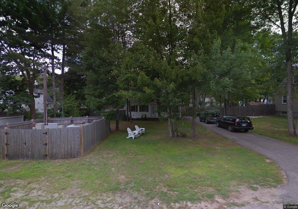
4 Clarkdale Rd Kennebunk, ME 04043
Estimated Value: $508,849 - $966,000
3
Beds
2
Baths
1,344
Sq Ft
$471/Sq Ft
Est. Value
About This Home
This home is located at 4 Clarkdale Rd, Kennebunk, ME 04043 and is currently estimated at $632,712, approximately $470 per square foot. 4 Clarkdale Rd is a home located in York County with nearby schools including Kennebunk High School and The New School.
Create a Home Valuation Report for This Property
The Home Valuation Report is an in-depth analysis detailing your home's value as well as a comparison with similar homes in the area
Home Values in the Area
Average Home Value in this Area
Tax History Compared to Growth
Tax History
| Year | Tax Paid | Tax Assessment Tax Assessment Total Assessment is a certain percentage of the fair market value that is determined by local assessors to be the total taxable value of land and additions on the property. | Land | Improvement |
|---|---|---|---|---|
| 2024 | $3,922 | $231,400 | $78,100 | $153,300 |
| 2023 | $3,714 | $231,400 | $78,100 | $153,300 |
| 2022 | $3,378 | $231,400 | $78,100 | $153,300 |
| 2021 | $3,297 | $231,400 | $78,100 | $153,300 |
| 2020 | $3,274 | $231,400 | $78,100 | $153,300 |
| 2019 | $3,182 | $231,400 | $78,100 | $153,300 |
| 2018 | $3,038 | $173,600 | $58,600 | $115,000 |
| 2017 | $2,873 | $173,600 | $58,600 | $115,000 |
| 2016 | $1,737 | $173,600 | $58,600 | $115,000 |
| 2015 | $2,656 | $173,600 | $58,600 | $115,000 |
| 2014 | $2,587 | $173,600 | $58,600 | $115,000 |
Source: Public Records
Map
Nearby Homes
- 16 Boundary Way
- 11 Mousam Ridge Rd
- 161 Brown St
- 27 Webhannet Place Unit 16
- 47 Brown St
- 5 Cider Mill Ln
- 4 Cider Mill Ln
- 3 Cider Mill Ln
- 11 Heritage Ln
- 17 Legacy Ln
- 30 York St Unit 1
- 18 Greenwich Way Unit 38
- 22 York St
- 17 Water St Unit 9
- 45 Summer St Unit 1
- 54 Sycamore Ln Unit 19
- 00 Summer St
- 2 Chestnut Ln Unit 2
- 61 Fletcher St
- 14 Wiggins Pond Ln