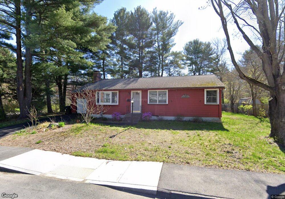
4 Clarke Dr Marlborough, MA 01752
Estimated Value: $488,000 - $547,000
3
Beds
2
Baths
1,032
Sq Ft
$507/Sq Ft
Est. Value
About This Home
This home is located at 4 Clarke Dr, Marlborough, MA 01752 and is currently estimated at $523,646, approximately $507 per square foot. 4 Clarke Dr is a home located in Middlesex County with nearby schools including Marlborough High School, New Covenant Christian School, and Glenhaven Academy - JRI School.
Ownership History
Date
Name
Owned For
Owner Type
Purchase Details
Closed on
Jul 31, 1997
Sold by
Percey Lula A
Bought by
Adamson Gary J
Current Estimated Value
Home Financials for this Owner
Home Financials are based on the most recent Mortgage that was taken out on this home.
Original Mortgage
$129,200
Outstanding Balance
$19,383
Interest Rate
7.55%
Mortgage Type
Purchase Money Mortgage
Estimated Equity
$504,263
Create a Home Valuation Report for This Property
The Home Valuation Report is an in-depth analysis detailing your home's value as well as a comparison with similar homes in the area
Home Values in the Area
Average Home Value in this Area
Purchase History
| Date | Buyer | Sale Price | Title Company |
|---|---|---|---|
| Adamson Gary J | $136,000 | -- |
Source: Public Records
Mortgage History
| Date | Status | Borrower | Loan Amount |
|---|---|---|---|
| Open | Adamson Gary J | $129,200 | |
| Previous Owner | Adamson Gary J | $65,000 |
Source: Public Records
Tax History Compared to Growth
Tax History
| Year | Tax Paid | Tax Assessment Tax Assessment Total Assessment is a certain percentage of the fair market value that is determined by local assessors to be the total taxable value of land and additions on the property. | Land | Improvement |
|---|---|---|---|---|
| 2025 | $4,530 | $459,400 | $254,600 | $204,800 |
| 2024 | $4,542 | $443,600 | $231,400 | $212,200 |
| 2023 | $4,692 | $406,600 | $187,500 | $219,100 |
| 2022 | $4,630 | $352,900 | $178,600 | $174,300 |
| 2021 | $4,717 | $341,800 | $151,500 | $190,300 |
| 2020 | $4,596 | $324,100 | $139,100 | $185,000 |
| 2019 | $4,502 | $320,000 | $136,400 | $183,600 |
| 2018 | $4,104 | $280,500 | $110,900 | $169,600 |
| 2017 | $3,770 | $246,100 | $109,700 | $136,400 |
| 2016 | $3,626 | $236,400 | $109,700 | $126,700 |
| 2015 | $3,596 | $228,200 | $118,500 | $109,700 |
Source: Public Records
Map
Nearby Homes
- 552 Farm Rd
- 16 Holly Hill Ln
- 23 Victoria Ln
- 271 Boston Post Rd E Unit 4
- 261 Boston Post Rd E Unit 1
- 100 Phelps St Unit 7
- 109 Westminster Dr Unit 109
- 70 Phelps St
- 29 Eldorado Dr
- 181 Boston Post Rd E Unit 26
- 34 Muir Way
- 392 Farm Rd
- 10 Eldorado Dr
- 53 Phelps St
- 32 Ethel
- 35 Roundtop Rd
- 8 Roundtop Rd
- 110 Boston Post Rd E Unit 104
- 608 Boston Post Rd E Unit 11
- 596 Boston Post Rd E Unit 13