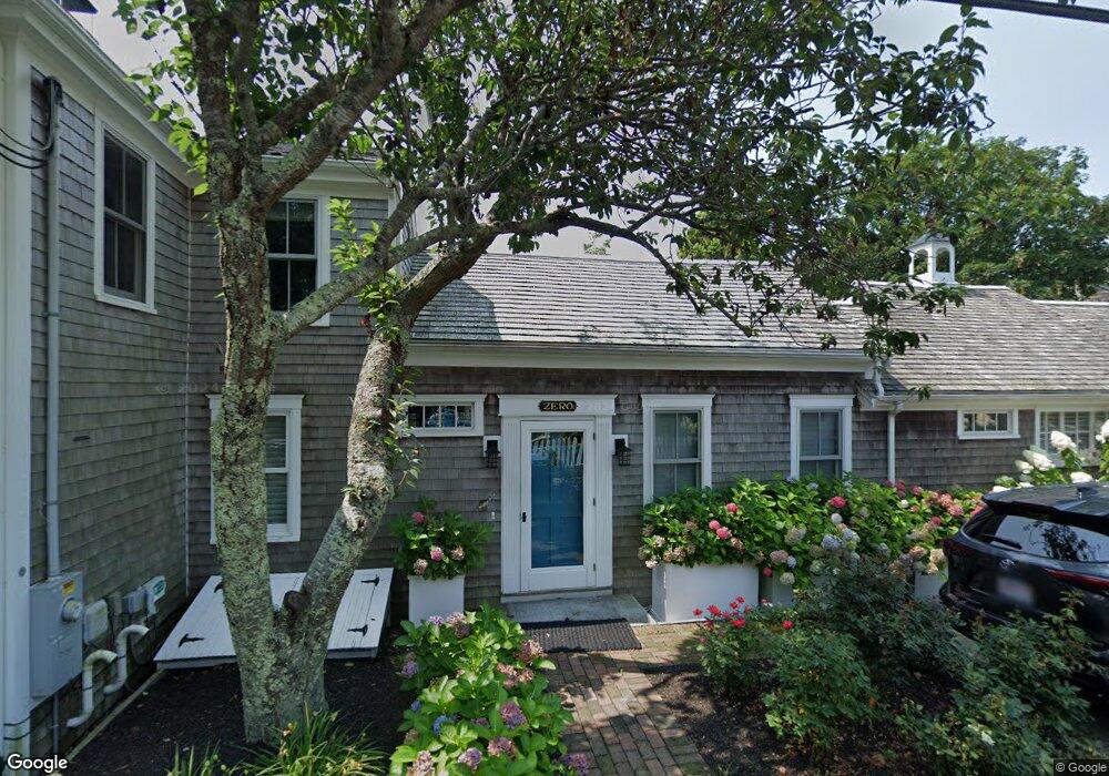
4 Conway St Unit 2 Provincetown, MA 02657
Estimated Value: $1,052,000 - $1,218,000
1
Bed
2
Baths
919
Sq Ft
$1,220/Sq Ft
Est. Value
About This Home
This home is located at 4 Conway St Unit 2, Provincetown, MA 02657 and is currently estimated at $1,121,278, approximately $1,220 per square foot. 4 Conway St Unit 2 is a home located in Barnstable County with nearby schools including Provincetown Schools.
Ownership History
Date
Name
Owned For
Owner Type
Purchase Details
Closed on
Jan 22, 2010
Sold by
Costin Dennis M and Bynum Ernest P
Bought by
Busa Guy D
Current Estimated Value
Home Financials for this Owner
Home Financials are based on the most recent Mortgage that was taken out on this home.
Original Mortgage
$311,200
Outstanding Balance
$202,655
Interest Rate
4.79%
Mortgage Type
Purchase Money Mortgage
Estimated Equity
$918,623
Create a Home Valuation Report for This Property
The Home Valuation Report is an in-depth analysis detailing your home's value as well as a comparison with similar homes in the area
Home Values in the Area
Average Home Value in this Area
Purchase History
| Date | Buyer | Sale Price | Title Company |
|---|---|---|---|
| Busa Guy D | $389,000 | -- | |
| Busa Guy D | $389,000 | -- |
Source: Public Records
Mortgage History
| Date | Status | Borrower | Loan Amount |
|---|---|---|---|
| Open | Busa Guy D | $311,200 | |
| Closed | Busa Guy D | $311,200 |
Source: Public Records
Tax History Compared to Growth
Tax History
| Year | Tax Paid | Tax Assessment Tax Assessment Total Assessment is a certain percentage of the fair market value that is determined by local assessors to be the total taxable value of land and additions on the property. | Land | Improvement |
|---|---|---|---|---|
| 2025 | $4,784 | $854,300 | $0 | $854,300 |
| 2024 | $4,322 | $774,500 | $0 | $774,500 |
| 2023 | $3,994 | $667,900 | $0 | $667,900 |
| 2022 | $4,154 | $623,700 | $0 | $623,700 |
| 2021 | $3,990 | $563,500 | $0 | $563,500 |
| 2020 | $3,622 | $547,100 | $0 | $547,100 |
| 2019 | $3,610 | $511,400 | $0 | $511,400 |
| 2018 | $3,443 | $462,100 | $0 | $462,100 |
| 2017 | $3,428 | $444,600 | $0 | $444,600 |
| 2016 | $3,353 | $429,900 | $0 | $429,900 |
| 2015 | $3,055 | $414,000 | $0 | $414,000 |
Source: Public Records
Map
Nearby Homes
- 580 Commercial St
- 592 Commercial St
- 593 Commercial St
- 594 Commercial St
- 289 Bradford St
- 561 Commercial St
- 290A Bradford St
- 613 Commercial St
- 616 Commercial St Unit 10
- 616 Commercial St Unit 14
- 616 Commercial St Unit 15
- 616 Commercial St Unit 5
- 262 Bradford St Unit 2
- 539 Commercial St Unit 1
- 624 Commercial St
- 633 Commercial St Unit 2
- 343 Bradford St
- 4 Conway St Unit 1
- 2-A Conway St
- 1 Conway St
- 2 Conway St
- 572-572A Commercial St
- 3 Conway St
- 277 Bradford St
- 10 Snow St
- 10 Snow St
- 580-582 Commercial St
- 570 Commercial St
- 5 Snow St
- 1 Duncan Ln
- 572 Commercial St Unit 572A
- 584 Commercial St
- 584 Commercial St Unit 1&2
- 274 Bradford St
- 566 Commercial St Unit 5
- 566 Commercial St Unit 1