4 Cove Rd Mount Arlington, NJ 07856
Estimated Value: $336,149 - $410,000
Studio
--
Bath
1,016
Sq Ft
$378/Sq Ft
Est. Value
About This Home
This home is located at 4 Cove Rd, Mount Arlington, NJ 07856 and is currently estimated at $384,537, approximately $378 per square foot. 4 Cove Rd is a home located in Morris County with nearby schools including Edith M. Decker Elementary School and Mt. Arlington Public School.
Ownership History
Date
Name
Owned For
Owner Type
Purchase Details
Closed on
Dec 27, 2000
Sold by
Murdter Henry E and Murdter Marilyn
Bought by
Green Eric and Green Sharon
Current Estimated Value
Home Financials for this Owner
Home Financials are based on the most recent Mortgage that was taken out on this home.
Original Mortgage
$132,925
Outstanding Balance
$49,614
Interest Rate
7.7%
Mortgage Type
FHA
Estimated Equity
$334,923
Purchase Details
Closed on
Oct 12, 2000
Sold by
Herr Kathleen J
Bought by
Murdter Henry E and Murdter Marilyn
Create a Home Valuation Report for This Property
The Home Valuation Report is an in-depth analysis detailing your home's value as well as a comparison with similar homes in the area
Home Values in the Area
Average Home Value in this Area
Purchase History
| Date | Buyer | Sale Price | Title Company |
|---|---|---|---|
| Green Eric | $135,000 | Stewart Title Insurance Co | |
| Murdter Henry E | -- | -- |
Source: Public Records
Mortgage History
| Date | Status | Borrower | Loan Amount |
|---|---|---|---|
| Open | Green Eric | $132,925 |
Source: Public Records
Tax History
| Year | Tax Paid | Tax Assessment Tax Assessment Total Assessment is a certain percentage of the fair market value that is determined by local assessors to be the total taxable value of land and additions on the property. | Land | Improvement |
|---|---|---|---|---|
| 2025 | $5,511 | $270,700 | $147,700 | $123,000 |
| 2024 | $5,292 | $270,700 | $147,700 | $123,000 |
| 2023 | $5,292 | $270,700 | $147,700 | $123,000 |
| 2022 | $4,892 | $186,400 | $109,500 | $76,900 |
| 2021 | $4,892 | $186,400 | $109,500 | $76,900 |
| 2020 | $5,014 | $186,400 | $109,500 | $76,900 |
| 2019 | $3,723 | $141,300 | $109,500 | $31,800 |
| 2018 | $4,525 | $172,100 | $109,500 | $62,600 |
| 2017 | $4,473 | $172,100 | $109,500 | $62,600 |
| 2016 | $4,464 | $172,100 | $109,500 | $62,600 |
| 2015 | $4,387 | $172,100 | $109,500 | $62,600 |
| 2014 | $4,337 | $172,100 | $109,500 | $62,600 |
Source: Public Records
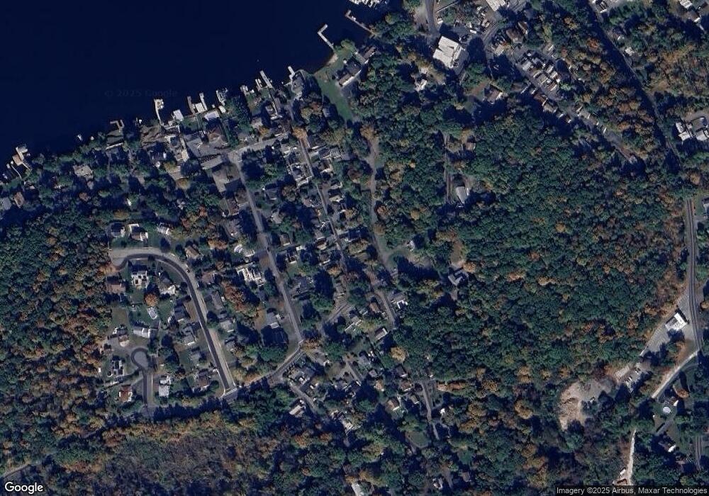
Map
Nearby Homes
- 13 Stonehenge Rd
- 31 Cove Rd
- 36 Nolans Point Rd
- 26 Ridgedale Rd
- 59 Homestead Rd
- 51B Mcgregor Ave
- 3 Dickerson Rd
- 40 Castle Rock Rd
- 32 Millburn Rd
- 692 Skyline Dr
- 927 Timberline Dr
- 1 Winding Ridge Rd
- 7 Winding Ridge Rd
- 11 Winding Ridge Rd
- 11 Bass Rock Rd
- 408 Rock Ridge Rd
- 406 Rock Ridge Rd
- 506 Windemere Ave
- 138 Aspen Ct
- 32 Mcnabb Rd
Your Personal Tour Guide
Ask me questions while you tour the home.