4 Cross Brook Ln Westport, CT 06880
Cranbury NeighborhoodEstimated Value: $1,277,229 - $1,693,000
4
Beds
3
Baths
2,520
Sq Ft
$582/Sq Ft
Est. Value
About This Home
This home is located at 4 Cross Brook Ln, Westport, CT 06880 and is currently estimated at $1,467,807, approximately $582 per square foot. 4 Cross Brook Ln is a home located in Fairfield County with nearby schools including King's Highway Elementary School, Coleytown Middle School, and Staples High School.
Ownership History
Date
Name
Owned For
Owner Type
Purchase Details
Closed on
Aug 9, 2011
Sold by
Hiden John
Bought by
Sklar Daniel A and Skiar Shirah L
Current Estimated Value
Purchase Details
Closed on
Apr 3, 2008
Sold by
Vogt Jeffrey C and Vogt Martha C
Bought by
Hiden John
Purchase Details
Closed on
Sep 19, 1990
Sold by
Floyd Peter
Bought by
Vogt Martha
Create a Home Valuation Report for This Property
The Home Valuation Report is an in-depth analysis detailing your home's value as well as a comparison with similar homes in the area
Home Values in the Area
Average Home Value in this Area
Purchase History
| Date | Buyer | Sale Price | Title Company |
|---|---|---|---|
| Sklar Daniel A | $801,000 | -- | |
| Sklar Daniel A | $801,000 | -- | |
| Sklar Daniel A | $801,000 | -- | |
| Hiden John | $713,631 | -- | |
| Hiden John | $713,631 | -- | |
| Vogt Martha | $475,000 | -- |
Source: Public Records
Mortgage History
| Date | Status | Borrower | Loan Amount |
|---|---|---|---|
| Open | Vogt Martha | $150,000 | |
| Open | Vogt Martha | $685,600 |
Source: Public Records
Tax History Compared to Growth
Tax History
| Year | Tax Paid | Tax Assessment Tax Assessment Total Assessment is a certain percentage of the fair market value that is determined by local assessors to be the total taxable value of land and additions on the property. | Land | Improvement |
|---|---|---|---|---|
| 2025 | $10,311 | $546,700 | $385,200 | $161,500 |
| 2024 | $10,180 | $546,700 | $385,200 | $161,500 |
| 2023 | $10,032 | $546,700 | $385,200 | $161,500 |
| 2022 | $9,879 | $546,700 | $385,200 | $161,500 |
| 2021 | $9,879 | $546,700 | $385,200 | $161,500 |
| 2020 | $10,713 | $641,100 | $426,600 | $214,500 |
| 2019 | $10,809 | $641,100 | $426,600 | $214,500 |
| 2018 | $10,809 | $641,100 | $426,600 | $214,500 |
| 2017 | $10,809 | $641,100 | $426,600 | $214,500 |
| 2016 | $10,809 | $641,100 | $426,600 | $214,500 |
| 2015 | $10,912 | $603,200 | $356,100 | $247,100 |
| 2014 | $10,821 | $603,200 | $356,100 | $247,100 |
Source: Public Records
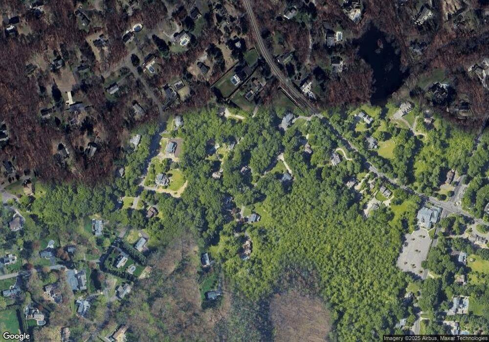
Map
Nearby Homes
- 6 Tulip Tree Ln
- 25 Hermit Ln
- 4A Newtown Turnpike
- 32 Thistle Rd
- 4 Newtown Turnpike
- 10 Twin Falls Ln
- 56 Partrick Rd
- 259 Wilton Rd
- 29 Grumman Ave
- 41 Mohawk Dr
- 57 Partrick Rd
- 30 Cavalry Rd
- 87 Red Coat Rd
- 101 Chestnut Hill Rd
- 27 Stonecrop Rd
- 93 E Meadow Rd
- 8 Stonecrop Rd
- 4 Frank St
- 41 Richmondville Ave Unit 104
- 41 Richmondville Ave Unit Duplex 2
- 8 Cross Brook Ln
- 5 Bumpy Ln
- 6 Cross Brook Ln
- 6 Cross Brook Ln
- 3 Cross Brook Ln
- 7 Bumpy Ln
- 5 Cross Hwy
- 5 Cross Brook Ln
- 3 Bumpy Ln
- 355 Wilton Rd
- 1 Cross Brook Ln
- 37 Weatherbell Dr
- 35 Weatherbell Dr
- 359 Wilton Rd
- 33 Weatherbell Dr
- 349 Wilton Rd
- 2 Cross Brook Ln
- 7 Cross Brook Ln
- 39 Weatherbell Dr
- 31 Weatherbell Dr