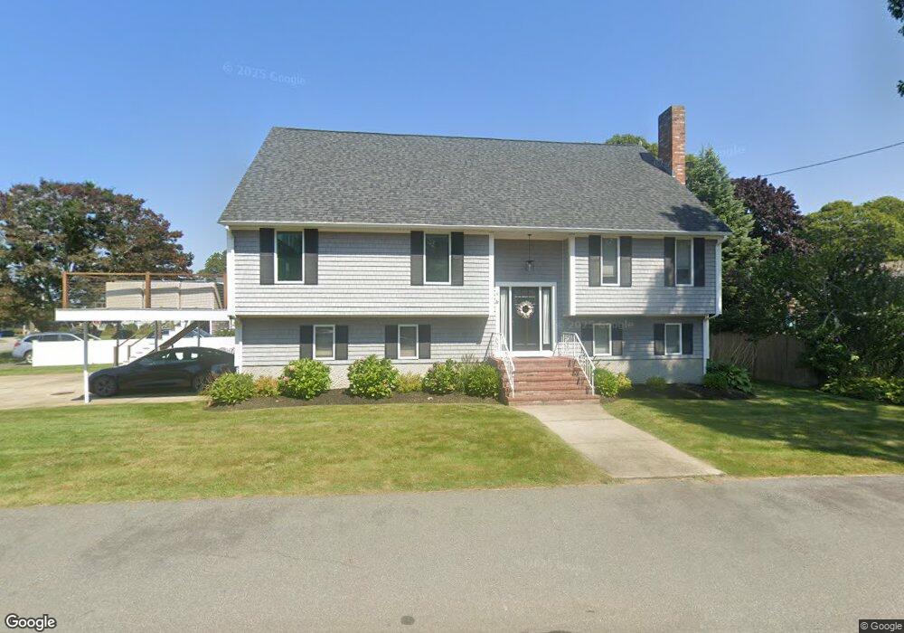
4 Cross Rd Bourne, MA 2532
Estimated Value: $1,265,000 - $1,699,000
3
Beds
3
Baths
3,368
Sq Ft
$419/Sq Ft
Est. Value
About This Home
This home is located at 4 Cross Rd, Bourne, MA 2532 and is currently estimated at $1,411,971, approximately $419 per square foot. 4 Cross Rd is a home located in Barnstable County with nearby schools including Bourne High School, St Margaret Regional School, and Cadence Academy Preschool - Bourne.
Ownership History
Date
Name
Owned For
Owner Type
Purchase Details
Closed on
Oct 26, 2017
Sold by
7 Oaks Rt and Oconnor
Bought by
Distefano Joseph and Distefano Maria L
Current Estimated Value
Home Financials for this Owner
Home Financials are based on the most recent Mortgage that was taken out on this home.
Original Mortgage
$660,000
Outstanding Balance
$537,287
Interest Rate
3%
Mortgage Type
Purchase Money Mortgage
Estimated Equity
$874,684
Create a Home Valuation Report for This Property
The Home Valuation Report is an in-depth analysis detailing your home's value as well as a comparison with similar homes in the area
Purchase History
| Date | Buyer | Sale Price | Title Company |
|---|---|---|---|
| Distefano Joseph | $825,000 | -- | |
| Distefano Joseph | $825,000 | -- |
Source: Public Records
Mortgage History
| Date | Status | Borrower | Loan Amount |
|---|---|---|---|
| Open | Distefano Joseph | $660,000 | |
| Closed | Distefano Joseph | $660,000 |
Source: Public Records
Tax History
| Year | Tax Paid | Tax Assessment Tax Assessment Total Assessment is a certain percentage of the fair market value that is determined by local assessors to be the total taxable value of land and additions on the property. | Land | Improvement |
|---|---|---|---|---|
| 2025 | $8,348 | $1,068,900 | $381,500 | $687,400 |
| 2024 | $7,726 | $963,400 | $363,300 | $600,100 |
| 2023 | $7,511 | $852,600 | $321,500 | $531,100 |
| 2022 | $8,167 | $809,400 | $388,000 | $421,400 |
| 2021 | $8,545 | $793,400 | $258,900 | $534,500 |
| 2020 | $8,143 | $758,200 | $256,500 | $501,700 |
| 2019 | $7,421 | $706,100 | $256,500 | $449,600 |
| 2018 | $5,310 | $503,800 | $244,300 | $259,500 |
| 2017 | $5,446 | $528,700 | $275,000 | $253,700 |
| 2016 | $5,313 | $522,900 | $275,000 | $247,900 |
| 2015 | $5,234 | $519,800 | $275,000 | $244,800 |
Source: Public Records
Map
Nearby Homes
- 35 Benedict Rd
- 60 Bourne Neck Dr
- 5 Zoli Ln
- 46 Holt Rd Unit B
- 46 Holt Rd
- 40-A Lafayette Ave
- 203 County Rd
- 4 Van Bummel Rd
- 13 Laurel Hill Ct
- 44 Cotuit Rd
- 3 Fairway Dr Unit F
- 5 Sea Knoll Ct
- 23 Alderberry Rd
- 12 Turnberry Rd Unit 12
- 60 Sandwich Rd
- 38 Old Bridge Rd
- 4 Hollyhock Knoll Ct Unit 4
- 4 Hollyhock Knoll Ct Unit 4
- 3 Honora Ln Unit 3
- 6 Honora Ct
Your Personal Tour Guide
Ask me questions while you tour the home.