4 Dakota Trail Rutland, MA 01543
Estimated Value: $214,000 - $247,000
2
Beds
1
Bath
704
Sq Ft
$329/Sq Ft
Est. Value
About This Home
This home is located at 4 Dakota Trail, Rutland, MA 01543 and is currently estimated at $231,639, approximately $329 per square foot. 4 Dakota Trail is a home located in Worcester County with nearby schools including Wachusett Regional High School.
Ownership History
Date
Name
Owned For
Owner Type
Purchase Details
Closed on
Dec 2, 2020
Sold by
Scanlon Donald A and Scanlon Wendy S
Bought by
Scanlon Timothy W and Scanlon Mackenzie A
Current Estimated Value
Home Financials for this Owner
Home Financials are based on the most recent Mortgage that was taken out on this home.
Original Mortgage
$145,500
Outstanding Balance
$129,538
Interest Rate
2.7%
Mortgage Type
New Conventional
Estimated Equity
$102,101
Purchase Details
Closed on
May 31, 1991
Sold by
Watts John F
Bought by
Scanlon Donald A and Wendy S Scanlon
Home Financials for this Owner
Home Financials are based on the most recent Mortgage that was taken out on this home.
Original Mortgage
$31,000
Interest Rate
9.35%
Mortgage Type
Purchase Money Mortgage
Create a Home Valuation Report for This Property
The Home Valuation Report is an in-depth analysis detailing your home's value as well as a comparison with similar homes in the area
Home Values in the Area
Average Home Value in this Area
Purchase History
| Date | Buyer | Sale Price | Title Company |
|---|---|---|---|
| Scanlon Timothy W | $150,000 | None Available | |
| Scanlon Donald A | $36,000 | -- |
Source: Public Records
Mortgage History
| Date | Status | Borrower | Loan Amount |
|---|---|---|---|
| Open | Scanlon Timothy W | $145,500 | |
| Previous Owner | Scanlon Donald A | $31,000 | |
| Previous Owner | Scanlon Donald A | $41,000 |
Source: Public Records
Tax History Compared to Growth
Tax History
| Year | Tax Paid | Tax Assessment Tax Assessment Total Assessment is a certain percentage of the fair market value that is determined by local assessors to be the total taxable value of land and additions on the property. | Land | Improvement |
|---|---|---|---|---|
| 2025 | $2,509 | $176,200 | $75,100 | $101,100 |
| 2024 | $1,966 | $132,600 | $66,700 | $65,900 |
| 2023 | $1,748 | $127,400 | $63,000 | $64,400 |
| 2022 | $1,890 | $119,700 | $53,500 | $66,200 |
| 2021 | $1,740 | $104,200 | $52,900 | $51,300 |
| 2020 | $1,358 | $77,100 | $42,900 | $34,200 |
| 2019 | $1,279 | $71,500 | $36,400 | $35,100 |
| 2018 | $1,258 | $69,400 | $36,400 | $33,000 |
| 2017 | $1,271 | $69,400 | $36,400 | $33,000 |
| 2016 | $1,560 | $89,800 | $40,200 | $49,600 |
| 2015 | $1,484 | $84,100 | $40,200 | $43,900 |
| 2014 | $1,439 | $84,100 | $40,200 | $43,900 |
Source: Public Records
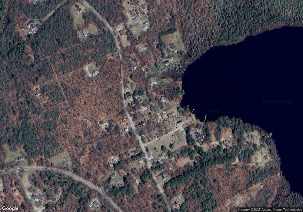
Map
Nearby Homes
- 7 Victoria Ave
- 2 Kosta Ave
- LOT 8 Pierre Cir
- 7 Emerald Rd
- 14 Welch Ave Unit A
- 4 Wilson Way
- 236 Turkey Hill Rd
- 11 Brigham Rd
- 43 Irish Ln
- 37 Irish Ln
- 39 Irish Ln
- 289 Richards Ave
- 189 Maple Ave
- 176 Maple Ave Unit 1-38
- 176 Maple Ave Unit 3-25
- 176 Maple Ave Unit 2-26
- 4 Black Hill Rd
- Lot 11 Pleasantdale Rd
- 252 Pleasantdale Rd
- 21 Wildbrook Dr
- 2 Dakota Trail
- 2 Dakota Trail Unit 1
- 6 Dakota Trail
- 3 Dakota Trail
- 3 Dakota Trail Unit 3
- 4 Apache Trail
- 5 Dakota Trail
- 1 Dakota Trail
- 7 Dakota Trail
- 7 Apache Trail
- 60 Turkey Hill Trail
- 0 Turkey Hill Trl Dakota Trail Unit 72971789
- 219 Turkey Hill Rd
- 209 Turkey Hill Rd
- 216 Turkey Hill Rd
- 0 Oneota Trail
- 31 Pequot Trail
- 194 Turkey Hill Dr
- 218 Turkey Hill Rd
- 205 Turkey Hill Rd