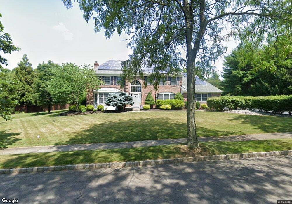
4 Dean Ct Princeton Junction, NJ 08550
Estimated Value: $1,234,968 - $1,708,000
--
Bed
--
Bath
3,716
Sq Ft
$390/Sq Ft
Est. Value
About This Home
This home is located at 4 Dean Ct, Princeton Junction, NJ 08550 and is currently estimated at $1,447,992, approximately $389 per square foot. 4 Dean Ct is a home located in Mercer County with nearby schools including Maurice Hawk Elementary School, Millstone River School, and Community Middle School.
Ownership History
Date
Name
Owned For
Owner Type
Purchase Details
Closed on
Sep 14, 2015
Sold by
Ganesan Sundaresh and Ganesan Janet H
Bought by
Bapat Pushkar and Bapat Shilpa P
Current Estimated Value
Home Financials for this Owner
Home Financials are based on the most recent Mortgage that was taken out on this home.
Original Mortgage
$444,000
Outstanding Balance
$349,446
Interest Rate
3.97%
Mortgage Type
New Conventional
Estimated Equity
$1,098,546
Purchase Details
Closed on
Jul 12, 1999
Sold by
Donahue Michael
Bought by
Ganesan Sundaresh and Ganesan Janet
Home Financials for this Owner
Home Financials are based on the most recent Mortgage that was taken out on this home.
Original Mortgage
$336,000
Interest Rate
7.6%
Purchase Details
Closed on
May 22, 1992
Sold by
Trafalgar House Property Inc
Bought by
Donahue Michael and Donahue Linda C
Create a Home Valuation Report for This Property
The Home Valuation Report is an in-depth analysis detailing your home's value as well as a comparison with similar homes in the area
Home Values in the Area
Average Home Value in this Area
Purchase History
| Date | Buyer | Sale Price | Title Company |
|---|---|---|---|
| Bapat Pushkar | $870,000 | Valerie Foundation Title Llc | |
| Ganesan Sundaresh | $420,000 | -- | |
| Donahue Michael | $390,000 | -- |
Source: Public Records
Mortgage History
| Date | Status | Borrower | Loan Amount |
|---|---|---|---|
| Open | Bapat Pushkar | $444,000 | |
| Previous Owner | Ganesan Sundaresh | $336,000 |
Source: Public Records
Tax History Compared to Growth
Tax History
| Year | Tax Paid | Tax Assessment Tax Assessment Total Assessment is a certain percentage of the fair market value that is determined by local assessors to be the total taxable value of land and additions on the property. | Land | Improvement |
|---|---|---|---|---|
| 2025 | $20,903 | $682,000 | $255,400 | $479,100 |
| 2024 | $20,030 | $682,000 | $255,400 | $479,100 |
| 2023 | $20,030 | $734,500 | $255,400 | $479,100 |
| 2022 | $19,642 | $682,000 | $0 | $0 |
| 2021 | $19,478 | $682,000 | $0 | $0 |
| 2020 | $19,123 | $682,000 | $0 | $0 |
| 2019 | $18,905 | $734,500 | $255,400 | $479,100 |
| 2018 | $18,728 | $734,500 | $255,400 | $479,100 |
| 2017 | $17,747 | $712,500 | $255,400 | $457,100 |
| 2016 | $17,365 | $660,000 | $255,400 | $404,600 |
| 2015 | $16,962 | $660,000 | $255,400 | $404,600 |
| 2014 | $16,764 | $660,000 | $255,400 | $404,600 |
Source: Public Records
Map
Nearby Homes
- 7 Camas Ct
- 2 Colonial Ct
- 2 Joanne St
- 12 Corio Ct
- 20 Berkshire Dr
- 32 W Kincaid Dr
- 90 Princeton Hightstown Rd
- 3103 Justin Dr
- 1005 Justin Dr Unit 1002
- 2902 Justin Dr
- 1402 Justin Dr Unit 1403
- 3102 Justin Dr
- 2904 Justin Dr Unit 2903
- 1402 Justin Dr
- 1002 Justin Dr Unit 1005
- 2902 Justin Dr Unit 2905
- 3102 Justin Dr Unit 3104
- 1005 Justin Dr
- 1004 Justin Dr
- 1002 Justin Dr