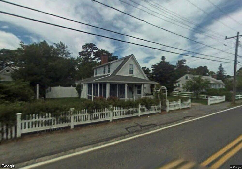
4 Dean Rd Dennis Port, MA 02639
Dennis Port NeighborhoodEstimated Value: $434,000 - $564,000
2
Beds
1
Bath
650
Sq Ft
$793/Sq Ft
Est. Value
About This Home
This home is located at 4 Dean Rd, Dennis Port, MA 02639 and is currently estimated at $515,289, approximately $792 per square foot. 4 Dean Rd is a home located in Barnstable County with nearby schools including Dennis-Yarmouth Regional High School and St. Pius X. School.
Ownership History
Date
Name
Owned For
Owner Type
Purchase Details
Closed on
Nov 1, 2016
Sold by
Richard P P and Richard M S
Bought by
Sheila M Harvey Irt and Maureen-Harvey
Current Estimated Value
Purchase Details
Closed on
Sep 29, 2016
Sold by
4 Dean Road Rt and Harvey
Bought by
Richard P Harvey Ret and Harvey
Purchase Details
Closed on
May 3, 2011
Sold by
Harvey Richard P and Harvey Sheila M
Bought by
4 Dean Road Rt and Harvey
Purchase Details
Closed on
Sep 20, 1996
Sold by
Jensen Allan B
Bought by
Harvey Richard P and Harvey Sheila M
Create a Home Valuation Report for This Property
The Home Valuation Report is an in-depth analysis detailing your home's value as well as a comparison with similar homes in the area
Home Values in the Area
Average Home Value in this Area
Purchase History
| Date | Buyer | Sale Price | Title Company |
|---|---|---|---|
| Sheila M Harvey Irt | -- | -- | |
| Sheila M Harvey Irt | -- | -- | |
| Richard P Harvey Ret | -- | -- | |
| Richard P Harvey Ret | -- | -- | |
| 4 Dean Road Rt | -- | -- | |
| 4 Dean Road Rt | -- | -- | |
| Harvey Richard P | $63,000 | -- | |
| Harvey Richard P | $63,000 | -- |
Source: Public Records
Tax History Compared to Growth
Tax History
| Year | Tax Paid | Tax Assessment Tax Assessment Total Assessment is a certain percentage of the fair market value that is determined by local assessors to be the total taxable value of land and additions on the property. | Land | Improvement |
|---|---|---|---|---|
| 2025 | $1,949 | $450,000 | $274,000 | $176,000 |
| 2024 | $1,818 | $414,100 | $263,500 | $150,600 |
| 2023 | $1,760 | $376,800 | $239,500 | $137,300 |
| 2022 | $1,661 | $296,600 | $188,800 | $107,800 |
| 2021 | $1,648 | $273,300 | $185,100 | $88,200 |
| 2020 | $1,618 | $265,300 | $185,100 | $80,200 |
| 2019 | $1,657 | $268,600 | $197,000 | $71,600 |
| 2018 | $6,870 | $253,000 | $187,600 | $65,400 |
| 2017 | $3,364 | $236,100 | $172,700 | $63,400 |
| 2016 | $1,422 | $217,800 | $162,900 | $54,900 |
| 2015 | $1,394 | $217,800 | $162,900 | $54,900 |
| 2014 | $1,320 | $207,900 | $153,000 | $54,900 |
Source: Public Records
Map
Nearby Homes
- 11 Ocean Park W
- 402 Old Wharf Rd
- 402 Old Wharf Rd
- 9 Chase Ave Unit 6
- 405 Old Wharf Rd Unit B204
- 405 Old Wharf Rd Unit B204
- 102 Sea St
- 26 Manning Rd
- 22 Ferncliff Rd
- 1 E Belmont Unit 630
- 12 Cross St
- 1 Belmont Rd Unit 630
- 1 Belmont Rd Unit 513
- 37-A Beach Hills Rd
- 159 Center St Unit 22
- 37 Beach Hills Rd
- 262 Old Wharf Rd Unit 67
- 262 Old Wharf Rd Unit 5
- 262 Old Wharf Rd Unit 5
- 262 Old Wharf Rd Unit 20