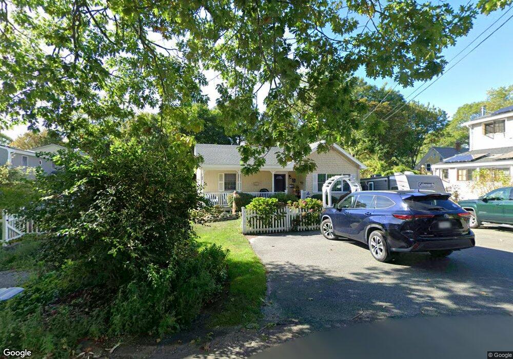
4 Decatur St Gloucester, MA 01930
East Gloucester NeighborhoodEstimated Value: $687,867 - $1,170,000
2
Beds
3
Baths
1,725
Sq Ft
$501/Sq Ft
Est. Value
About This Home
This home is located at 4 Decatur St, Gloucester, MA 01930 and is currently estimated at $864,717, approximately $501 per square foot. 4 Decatur St is a home located in Essex County with nearby schools including East Gloucester Elementary School, Ralph B O'maley Middle School, and Faith Christian School.
Ownership History
Date
Name
Owned For
Owner Type
Purchase Details
Closed on
Sep 21, 2016
Sold by
Andrewes John H and Andrewes Catherine
Bought by
4 Decatur Rt
Current Estimated Value
Create a Home Valuation Report for This Property
The Home Valuation Report is an in-depth analysis detailing your home's value as well as a comparison with similar homes in the area
Home Values in the Area
Average Home Value in this Area
Purchase History
| Date | Buyer | Sale Price | Title Company |
|---|---|---|---|
| 4 Decatur Rt | -- | -- |
Source: Public Records
Tax History Compared to Growth
Tax History
| Year | Tax Paid | Tax Assessment Tax Assessment Total Assessment is a certain percentage of the fair market value that is determined by local assessors to be the total taxable value of land and additions on the property. | Land | Improvement |
|---|---|---|---|---|
| 2025 | $6,135 | $631,200 | $228,000 | $403,200 |
| 2024 | $5,955 | $612,000 | $217,100 | $394,900 |
| 2023 | $5,987 | $565,300 | $193,800 | $371,500 |
| 2022 | $5,610 | $478,300 | $164,800 | $313,500 |
| 2021 | $5,790 | $465,400 | $149,800 | $315,600 |
| 2020 | $5,442 | $441,400 | $149,800 | $291,600 |
| 2019 | $5,445 | $429,100 | $149,800 | $279,300 |
| 2018 | $5,424 | $419,500 | $149,800 | $269,700 |
| 2017 | $5,283 | $400,500 | $142,700 | $257,800 |
| 2016 | $5,011 | $368,200 | $143,200 | $225,000 |
| 2015 | $4,932 | $361,300 | $143,200 | $218,100 |
Source: Public Records
Map
Nearby Homes
- 20 Haskell St
- 9 Rocky Pasture Rd
- 86 E Main St
- 100 E Main St
- 97 E Main St
- 30 Chapel St Unit B
- 20 Calder St
- 197 E Main St
- 197 E Main St Unit 2
- 197 E Main St Unit 1 & 2
- 52 Taylor St
- 160 Prospect St Unit 3
- 29 Harrison Ave
- 26 Marina Dr
- 22 Taylor St Unit 1
- 8 Barn Ln
- 4 Mount Vernon St
- 36 Links Rd
- 73 Rocky Neck Ave Unit 2
- 28 Old Nugent Farm Rd
- 10 Traverse St
- 10 Traverse St Unit 2
- 10 Traverse St Unit 1
- 8 Traverse St
- 16 Traverse St
- 6 Traverse St
- 6 Traverse St Unit 1
- 8R Decatur St
- 6 Decatur St
- 8 Decatur St
- 7 Traverse St
- 9 Traverse St
- 5 Traverse St
- 11 Traverse St
- 4 Traverse St
- 18 Traverse St
- 5 Decatur St
- 14 Haskell St
- 13 Traverse St
- 16 Haskell St