4 Devon Commons Ln Braintree, MA 02184
South Braintree NeighborhoodEstimated Value: $413,403 - $462,000
2
Beds
2
Baths
925
Sq Ft
$474/Sq Ft
Est. Value
About This Home
This home is located at 4 Devon Commons Ln, Braintree, MA 02184 and is currently estimated at $438,101, approximately $473 per square foot. 4 Devon Commons Ln is a home located in Norfolk County with nearby schools including Braintree High School, First Baptist Christian School, and Boston Higashi School.
Ownership History
Date
Name
Owned For
Owner Type
Purchase Details
Closed on
Jan 2, 2021
Sold by
Nichols Richard T Est
Bought by
Trinh Chau M
Current Estimated Value
Home Financials for this Owner
Home Financials are based on the most recent Mortgage that was taken out on this home.
Original Mortgage
$325,800
Outstanding Balance
$290,726
Interest Rate
2.7%
Mortgage Type
Purchase Money Mortgage
Estimated Equity
$147,375
Purchase Details
Closed on
Dec 30, 2015
Sold by
Russell Lisa A
Bought by
Nichols Richard T
Home Financials for this Owner
Home Financials are based on the most recent Mortgage that was taken out on this home.
Original Mortgage
$257,640
Interest Rate
3.98%
Mortgage Type
New Conventional
Purchase Details
Closed on
Oct 31, 2006
Sold by
Fein Christopher J and Fein Charles
Bought by
Russell Lisa A
Home Financials for this Owner
Home Financials are based on the most recent Mortgage that was taken out on this home.
Original Mortgage
$175,000
Interest Rate
6.48%
Mortgage Type
Purchase Money Mortgage
Purchase Details
Closed on
Jun 4, 2003
Sold by
Scollins Edward J and Scollins Lisa M
Bought by
Fein Christopher and Fein Charles F
Home Financials for this Owner
Home Financials are based on the most recent Mortgage that was taken out on this home.
Original Mortgage
$247,350
Interest Rate
5.83%
Mortgage Type
Purchase Money Mortgage
Purchase Details
Closed on
Jun 1, 2001
Sold by
Emerson Theodore P
Bought by
Scollins Edward J
Home Financials for this Owner
Home Financials are based on the most recent Mortgage that was taken out on this home.
Original Mortgage
$186,200
Interest Rate
7.09%
Mortgage Type
Purchase Money Mortgage
Purchase Details
Closed on
Apr 22, 1994
Sold by
Nicol Anne F and Nicol Robert S
Bought by
Emerson Theodore P
Create a Home Valuation Report for This Property
The Home Valuation Report is an in-depth analysis detailing your home's value as well as a comparison with similar homes in the area
Home Values in the Area
Average Home Value in this Area
Purchase History
| Date | Buyer | Sale Price | Title Company |
|---|---|---|---|
| Trinh Chau M | $362,000 | None Available | |
| Nichols Richard T | $271,200 | -- | |
| Russell Lisa A | $285,000 | -- | |
| Fein Christopher | $255,000 | -- | |
| Scollins Edward J | $196,000 | -- | |
| Emerson Theodore P | $109,000 | -- | |
| Emerson Theodore P | $109,000 | -- |
Source: Public Records
Mortgage History
| Date | Status | Borrower | Loan Amount |
|---|---|---|---|
| Open | Trinh Chau M | $325,800 | |
| Previous Owner | Nichols Richard T | $257,640 | |
| Previous Owner | Russell Lisa A | $175,000 | |
| Previous Owner | Fein Christopher | $247,350 | |
| Previous Owner | Emerson Theodore P | $186,200 | |
| Closed | Emerson Theodore P | $0 |
Source: Public Records
Tax History
| Year | Tax Paid | Tax Assessment Tax Assessment Total Assessment is a certain percentage of the fair market value that is determined by local assessors to be the total taxable value of land and additions on the property. | Land | Improvement |
|---|---|---|---|---|
| 2025 | $4,063 | $407,100 | $0 | $407,100 |
| 2024 | $3,637 | $383,700 | $0 | $383,700 |
| 2023 | $3,235 | $331,500 | $0 | $331,500 |
| 2022 | $3,071 | $308,600 | $0 | $308,600 |
| 2021 | $3,071 | $308,600 | $0 | $308,600 |
| 2020 | $2,918 | $295,900 | $0 | $295,900 |
| 2019 | $2,867 | $284,100 | $0 | $284,100 |
| 2018 | $2,765 | $262,300 | $0 | $262,300 |
| 2017 | $2,720 | $253,300 | $0 | $253,300 |
| 2016 | $2,584 | $235,300 | $0 | $235,300 |
| 2015 | $2,516 | $227,300 | $0 | $227,300 |
| 2014 | $2,460 | $215,400 | $0 | $215,400 |
Source: Public Records
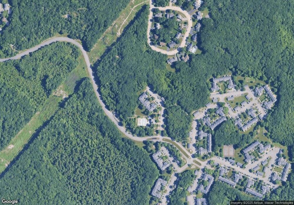
Map
Nearby Homes
- 55 Bradford Commons Ln Unit 55
- 169 Tyson Commons Ln
- 365 Tilden Commons Ln Unit 365
- 129 Albee Dr
- 39 Canavan Dr
- 432 Grove St
- 23 Portland Rd
- 972 Liberty St
- 211 Randolph St
- 300 West St
- 193 Randolph St
- 24 Evelyn Ln
- 1696 Liberty St
- 139 Randolph St
- 15 Alida Rd
- 501 Commerce Dr Unit 2110
- 501 Commerce Dr Unit 4308
- 43 Grove Cir
- 38 Roosevelt St
- 30 Alroy Rd
- 20 Devon Commons Ln
- 19 Devon Commons Ln
- 18 Devon Commons Ln
- 17 Devon Commons Ln
- 16 Devon Commons Ln
- 15 Devon Commons Ln
- 14 Devon Commons Ln
- 13 Devon Commons Ln
- 12 Devon Commons Ln
- 11 Devon Commons Ln
- 10 Devon Commons Ln
- 9 Devon Commons Ln
- 8 Devon Commons Ln
- 7 Devon Commons Ln
- 6 Devon Commons Ln
- 5 Devon Commons Ln
- 3 Devon Commons Ln
- 2 Devon Commons Ln
- 1 Devon Commons Ln
- 9 Devon Commons Ln Unit 9
Your Personal Tour Guide
Ask me questions while you tour the home.