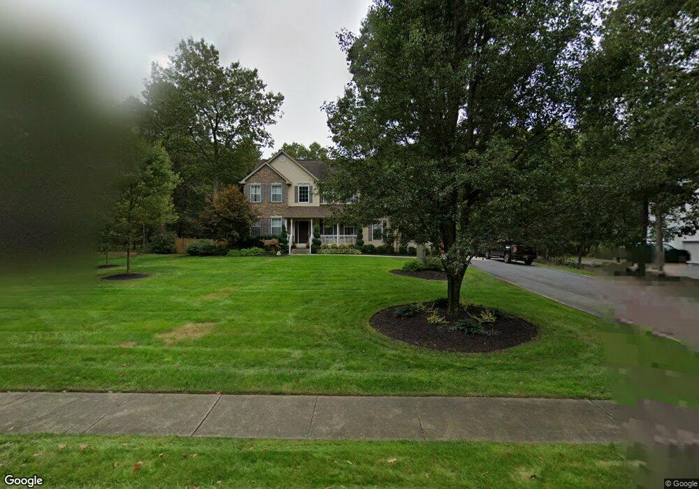
4 Dockside Dr Egg Harbor Township, NJ 08234
Estimated Value: $529,000 - $626,425
Studio
--
Bath
2,358
Sq Ft
$249/Sq Ft
Est. Value
About This Home
This home is located at 4 Dockside Dr, Egg Harbor Township, NJ 08234 and is currently estimated at $586,356, approximately $248 per square foot. 4 Dockside Dr is a home located in Atlantic County with nearby schools including Egg Harbor Township High School, Gospel of Grace Christian School, and Atlantic Christian School.
Ownership History
Date
Name
Owned For
Owner Type
Purchase Details
Closed on
Jan 16, 2012
Sold by
Pittner Eugene and Pittner Carrie
Bought by
Pittner Eugene and Pittner Carrie
Current Estimated Value
Home Financials for this Owner
Home Financials are based on the most recent Mortgage that was taken out on this home.
Original Mortgage
$215,000
Outstanding Balance
$19,260
Interest Rate
3.24%
Mortgage Type
New Conventional
Estimated Equity
$567,096
Purchase Details
Closed on
May 11, 2000
Sold by
Hershey Homes Inc
Bought by
Pittner Eugene and Ellison Carrie
Home Financials for this Owner
Home Financials are based on the most recent Mortgage that was taken out on this home.
Original Mortgage
$205,000
Interest Rate
7.5%
Create a Home Valuation Report for This Property
The Home Valuation Report is an in-depth analysis detailing your home's value as well as a comparison with similar homes in the area
Home Values in the Area
Average Home Value in this Area
Purchase History
| Date | Buyer | Sale Price | Title Company |
|---|---|---|---|
| Pittner Eugene | -- | None Available | |
| Pittner Eugene | $228,100 | Fidelity National Title Ins |
Source: Public Records
Mortgage History
| Date | Status | Borrower | Loan Amount |
|---|---|---|---|
| Open | Pittner Eugene | $215,000 | |
| Closed | Pittner Eugene | $205,000 |
Source: Public Records
Tax History
| Year | Tax Paid | Tax Assessment Tax Assessment Total Assessment is a certain percentage of the fair market value that is determined by local assessors to be the total taxable value of land and additions on the property. | Land | Improvement |
|---|---|---|---|---|
| 2025 | $10,693 | $318,800 | $106,800 | $212,000 |
| 2024 | $10,693 | $318,800 | $106,800 | $212,000 |
Source: Public Records
Map
Nearby Homes
- 21 Evergreen Ave
- 3 Evergreen Ave
- 107 Spray Ave
- 202 Ohio Ave
- 110 Spray Ave
- 100 Captains Walk
- 408 Rockbridge Ct
- 114 School House Rd
- 110 Cabot Ln
- 200 Gunpowder Rd
- 7 Fairview Dr
- 121 Florida Ave
- 58 Marshall Dr
- 225 Zion Rd
- 614 Nathan Ln
- 101 Cindy Dr
- 2163 Ocean Heights Ave
- 4 Barrett Dr
- 1564 Somers Point Rd
- 145 Laquinta Dr
- 2 Dockside Dr
- 3 Dockside Dr
- 8 Dockside Dr
- 359 Zion Rd
- 10 Dockside Dr
- 5 Dockside Dr
- 102 Lighthouse Ln
- 12 Dockside Dr
- 104 Lighthouse Ln
- 7 Dockside Dr
- 106 Lighthouse Ln
- 374 Zion Rd
- 103 Lighthouse Ln
- 83 Marshall Dr
- 101 Lighthouse Ln
- 87 Marshall Dr
- 14 Dockside Dr
- 81 Marshall Dr
- 105 Lighthouse Ln
- 79 Marshall Dr
Your Personal Tour Guide
Ask me questions while you tour the home.