4 Doe Dr Columbia, NJ 07832
Estimated Value: $540,000 - $604,000
--
Bed
--
Bath
2,418
Sq Ft
$237/Sq Ft
Est. Value
About This Home
This home is located at 4 Doe Dr, Columbia, NJ 07832 and is currently estimated at $572,542, approximately $236 per square foot. 4 Doe Dr is a home located in Warren County with nearby schools including Blairstown Elementary School and North Warren Regional School.
Ownership History
Date
Name
Owned For
Owner Type
Purchase Details
Closed on
Feb 27, 2024
Sold by
Rokosz Patricia and Rokosz Robert
Bought by
Rokosz Robert and Rokosz Patricia
Current Estimated Value
Purchase Details
Closed on
Oct 5, 2016
Sold by
Rokosz Robert and Rokosz Patricia
Bought by
Rokosz Patricia and Rokosz Robert
Purchase Details
Closed on
Sep 24, 1998
Sold by
Rokosz Robert and Rokosz Patricia
Bought by
Rokosz Robert and Rokosz Patricia
Create a Home Valuation Report for This Property
The Home Valuation Report is an in-depth analysis detailing your home's value as well as a comparison with similar homes in the area
Home Values in the Area
Average Home Value in this Area
Purchase History
| Date | Buyer | Sale Price | Title Company |
|---|---|---|---|
| Rokosz Robert | -- | None Listed On Document | |
| Rokosz Robert | -- | None Listed On Document | |
| Rokosz Patricia | -- | None Available | |
| Rokosz Robert | -- | -- |
Source: Public Records
Tax History Compared to Growth
Tax History
| Year | Tax Paid | Tax Assessment Tax Assessment Total Assessment is a certain percentage of the fair market value that is determined by local assessors to be the total taxable value of land and additions on the property. | Land | Improvement |
|---|---|---|---|---|
| 2025 | $10,413 | $335,800 | $124,100 | $211,700 |
| 2024 | $9,678 | $335,800 | $124,100 | $211,700 |
| 2023 | $9,480 | $335,800 | $124,100 | $211,700 |
| 2022 | $9,480 | $335,800 | $124,100 | $211,700 |
| 2021 | $8,113 | $335,800 | $124,100 | $211,700 |
| 2020 | $8,301 | $335,800 | $124,100 | $211,700 |
| 2019 | $7,723 | $335,800 | $124,100 | $211,700 |
| 2018 | $7,723 | $335,800 | $124,100 | $211,700 |
| 2017 | $7,750 | $335,800 | $124,100 | $211,700 |
| 2016 | $7,777 | $335,800 | $124,100 | $211,700 |
| 2015 | $7,643 | $335,800 | $124,100 | $211,700 |
| 2014 | $7,495 | $335,800 | $124,100 | $211,700 |
Source: Public Records
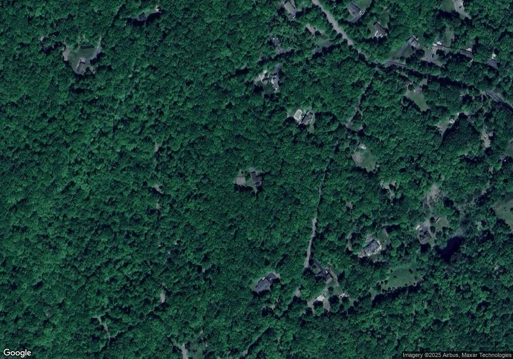
Map
Nearby Homes
- 0 Mount Vernon Rd
- 00 Walnut Valley Rd
- 87 Walnut Valley Rd
- 6 Mountain Terrace
- 34 Stony Brook Rd
- 163 New Jersey 94
- 20 Polkville Rd
- 60 Vail Rd
- 18 W Crisman Rd
- 17 Bear Cave Rd
- 0 Cedar Lake Rd Unit 3936605
- 1 Four Corners Rd
- 42 Gaisler Rd
- 85 Mohican Rd
- 5 Alice Ct
- 80 Mohican Rd
- 143 Vail Rd
- 3 Hoagland Rd
- 3 Hickory Ridge Dr
- 123 Vail Rd
- 2 Doe Dr
- 6 Doe Dr
- 1 Doe Dr
- 5 Doe Dr
- 3 Doe Dr
- 71 Mount Vernon Rd
- 69 Mount Vernon Rd
- 73 Mount Vernon Rd
- 67 Mount Vernon Rd
- 65 Mount Vernon Rd
- 76 Mount Vernon Rd
- 79 Mount Vernon Rd
- 79 Mount Vernon Rd
- 78 Mount Vernon Rd
- 75 Mount Vernon Rd
- 6 Star Lite Hhill Rd
- 80 Mount Vernon Rd
- 74 Mount Vernon Rd
- 79 Mt Vernon Rd
- 8 Doe Dr