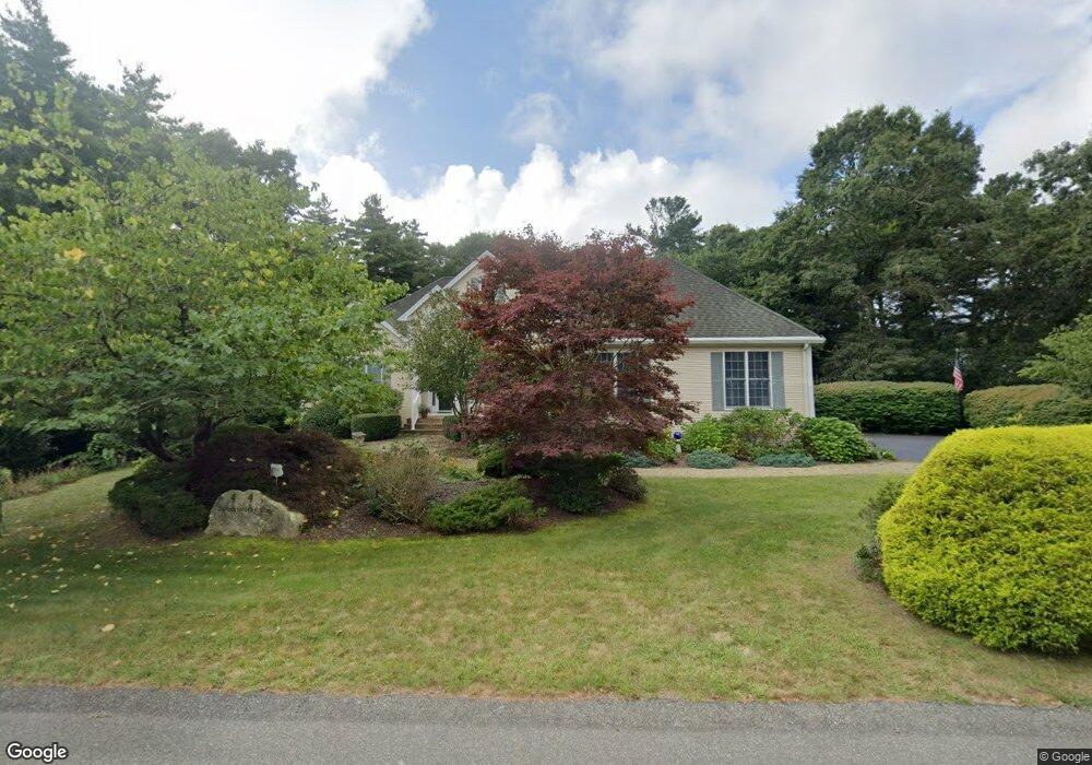
4 Dorothy Way Buzzards Bay, MA 02532
Estimated Value: $834,000 - $940,000
3
Beds
4
Baths
3,800
Sq Ft
$236/Sq Ft
Est. Value
About This Home
This home is located at 4 Dorothy Way, Buzzards Bay, MA 02532 and is currently estimated at $897,591, approximately $236 per square foot. 4 Dorothy Way is a home located in Barnstable County with nearby schools including Bourne High School, St Margaret Regional School, and Cadence Academy Preschool - Bourne.
Ownership History
Date
Name
Owned For
Owner Type
Purchase Details
Closed on
Jun 28, 2001
Sold by
Jackson Woods Rt
Bought by
Marinella Robert J and Marinella Pearl R
Current Estimated Value
Home Financials for this Owner
Home Financials are based on the most recent Mortgage that was taken out on this home.
Original Mortgage
$400,000
Outstanding Balance
$154,150
Interest Rate
7.14%
Mortgage Type
Purchase Money Mortgage
Estimated Equity
$743,441
Create a Home Valuation Report for This Property
The Home Valuation Report is an in-depth analysis detailing your home's value as well as a comparison with similar homes in the area
Home Values in the Area
Average Home Value in this Area
Purchase History
| Date | Buyer | Sale Price | Title Company |
|---|---|---|---|
| Marinella Robert J | $125,000 | -- | |
| Marinella Robert J | $125,000 | -- |
Source: Public Records
Mortgage History
| Date | Status | Borrower | Loan Amount |
|---|---|---|---|
| Open | Marinella Robert J | $100,000 | |
| Open | Marinella Robert J | $400,000 | |
| Closed | Marinella Robert J | $400,000 |
Source: Public Records
Tax History Compared to Growth
Tax History
| Year | Tax Paid | Tax Assessment Tax Assessment Total Assessment is a certain percentage of the fair market value that is determined by local assessors to be the total taxable value of land and additions on the property. | Land | Improvement |
|---|---|---|---|---|
| 2025 | $6,314 | $808,400 | $227,400 | $581,000 |
| 2024 | $6,224 | $776,100 | $216,500 | $559,600 |
| 2023 | $6,103 | $692,700 | $191,600 | $501,100 |
| 2022 | $5,726 | $567,500 | $169,600 | $397,900 |
| 2021 | $5,609 | $520,800 | $154,300 | $366,500 |
| 2020 | $5,469 | $509,200 | $152,900 | $356,300 |
| 2019 | $5,181 | $493,000 | $152,900 | $340,100 |
| 2018 | $4,988 | $473,200 | $145,600 | $327,600 |
| 2017 | $5,423 | $526,500 | $144,200 | $382,300 |
| 2016 | $5,250 | $516,700 | $144,200 | $372,500 |
| 2015 | $5,203 | $516,700 | $144,200 | $372,500 |
Source: Public Records
Map
Nearby Homes
- 14 Great Rock Rd
- 13 Laurel Hill Ct
- 5 Sea Knoll Ct
- 9 Sea Knoll Ct
- 26 Carnoustie Rd
- 60 Sandwich Rd
- 1 Hollyhock Knoll Ct Unit 1
- 4 Hollyhock Knoll Ct Unit 4
- 405 Village Dr Unit 405
- 405 Village Dr
- 90-92 Sandwich Rd Unit 2
- 203 County Rd
- 34 Turnberry Rd
- 7 Freeman St
- 232 County Rd
- 16 Amberwood Ct
- 46 Holt Rd
- 46 Holt Rd Unit A
- 151 - 153 Main St
- 23 Seabreeze Dr