4 Drake Rd Newton, NJ 07860
Estimated Value: $21,574 - $451,000
--
Bed
--
Bath
--
Sq Ft
0.26
Acres
About This Home
This home is located at 4 Drake Rd, Newton, NJ 07860 and is currently estimated at $236,287. 4 Drake Rd is a home with nearby schools including Frankford Township School and High Point Regional High School.
Ownership History
Date
Name
Owned For
Owner Type
Purchase Details
Closed on
May 13, 2020
Sold by
Weir William F and Weir Angela A
Bought by
Shaw Randal J
Current Estimated Value
Purchase Details
Closed on
Feb 13, 2019
Sold by
Lee Jon
Bought by
Cheung Penny
Purchase Details
Closed on
Sep 1, 2016
Sold by
Urban Carl M
Bought by
Urban Ronald
Home Financials for this Owner
Home Financials are based on the most recent Mortgage that was taken out on this home.
Interest Rate
3.46%
Purchase Details
Closed on
Nov 10, 2014
Sold by
Sheriff Of The County Of Sussex
Bought by
Michaelson U D and Michaelson Connor
Purchase Details
Closed on
Jul 29, 2010
Sold by
Cashin Daryn L and Cashin John M
Bought by
Weir William F and Weir Angela A
Purchase Details
Closed on
Dec 30, 1996
Sold by
Urban Joseph Joseph and Urban Carl Max
Bought by
Urban Carl Max and Urban Ronald
Purchase Details
Closed on
Jul 10, 1995
Sold by
Meunkle John A and Meunkle Robert C
Bought by
Fisher Daryn L and Cashin John M
Create a Home Valuation Report for This Property
The Home Valuation Report is an in-depth analysis detailing your home's value as well as a comparison with similar homes in the area
Home Values in the Area
Average Home Value in this Area
Purchase History
| Date | Buyer | Sale Price | Title Company |
|---|---|---|---|
| Shaw Randal J | $25,000 | Sunnyside Title Agency Llc | |
| Cheung Penny | -- | None Available | |
| Urban Ronald | -- | -- | |
| Michaelson U D | $100 | -- | |
| Weir William F | $11,000 | None Available | |
| Urban Carl Max | $9,000 | -- | |
| Fisher Daryn L | -- | -- |
Source: Public Records
Mortgage History
| Date | Status | Borrower | Loan Amount |
|---|---|---|---|
| Previous Owner | Urban Ronald | -- |
Source: Public Records
Tax History Compared to Growth
Tax History
| Year | Tax Paid | Tax Assessment Tax Assessment Total Assessment is a certain percentage of the fair market value that is determined by local assessors to be the total taxable value of land and additions on the property. | Land | Improvement |
|---|---|---|---|---|
| 2025 | $595 | $20,000 | $20,000 | -- |
| 2024 | $577 | $20,000 | $20,000 | $0 |
| 2023 | $577 | $20,000 | $20,000 | $0 |
| 2022 | $563 | $20,000 | $20,000 | $0 |
| 2021 | $546 | $20,000 | $20,000 | $0 |
| 2020 | $530 | $20,000 | $20,000 | $0 |
| 2019 | $515 | $20,000 | $20,000 | $0 |
| 2018 | $511 | $20,000 | $20,000 | $0 |
| 2017 | $509 | $20,000 | $20,000 | $0 |
| 2016 | $515 | $20,000 | $20,000 | $0 |
| 2015 | $513 | $20,000 | $20,000 | $0 |
| 2014 | $524 | $20,000 | $20,000 | $0 |
Source: Public Records
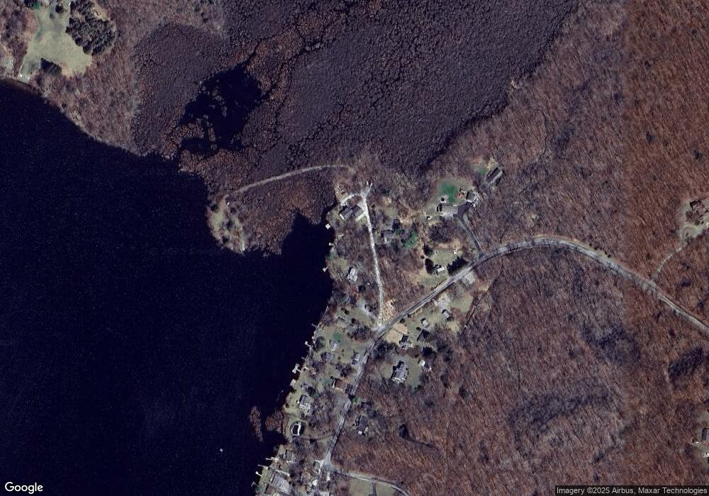
Map
Nearby Homes
- 196 W Owassa Turnpike
- 26 Mill Ln
- 25 E Shore Lake Owassa Rd
- 19 E Shore Lake Owassa Rd
- 40 Martin Ln
- 9 Maple Ln
- 39 Stehr St
- 1 South Trail
- 4 Woodlawn Ave
- 6 Woodlawn Ave
- 15 Forest St
- 57 E Shore Trail
- 1 Lakeview Point Ave
- 7 Laurel Ave
- 95 Woods Rd
- 27 Mountain Trail
- 10 Lakewood Trail
- 78 E Shore Culver Rd
- 4 Lake Path 1
- 461 U S Highway 206