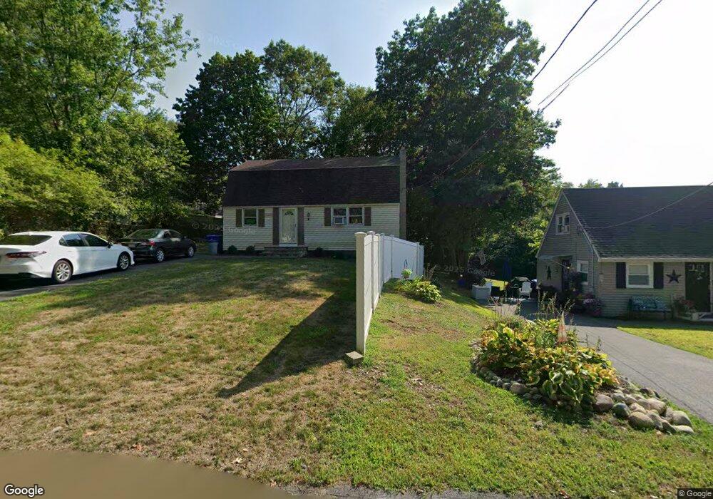
4 Duncan Dr Taunton, MA 02780
Prospect Hill NeighborhoodEstimated Value: $448,024 - $528,000
2
Beds
2
Baths
1,408
Sq Ft
$336/Sq Ft
Est. Value
About This Home
This home is located at 4 Duncan Dr, Taunton, MA 02780 and is currently estimated at $473,006, approximately $335 per square foot. 4 Duncan Dr is a home located in Bristol County with nearby schools including Benjamin Friedman Middle School, Joseph C. Chamberlain Elementary School, and Taunton High School.
Ownership History
Date
Name
Owned For
Owner Type
Purchase Details
Closed on
Feb 7, 2025
Sold by
Decicco David R
Bought by
Decicco Lt and Recicco
Current Estimated Value
Purchase Details
Closed on
Oct 11, 1994
Sold by
Decicco David R and Decicco Cherylanne
Bought by
Decicco David R
Create a Home Valuation Report for This Property
The Home Valuation Report is an in-depth analysis detailing your home's value as well as a comparison with similar homes in the area
Home Values in the Area
Average Home Value in this Area
Purchase History
| Date | Buyer | Sale Price | Title Company |
|---|---|---|---|
| Decicco Lt | -- | None Available | |
| Decicco David R | $106,600 | -- | |
| Decicco David R | $106,600 | -- |
Source: Public Records
Mortgage History
| Date | Status | Borrower | Loan Amount |
|---|---|---|---|
| Previous Owner | Decicco David R | $177,000 | |
| Previous Owner | Decicco David R | $24,000 | |
| Previous Owner | Decicco David R | $150,000 |
Source: Public Records
Tax History Compared to Growth
Tax History
| Year | Tax Paid | Tax Assessment Tax Assessment Total Assessment is a certain percentage of the fair market value that is determined by local assessors to be the total taxable value of land and additions on the property. | Land | Improvement |
|---|---|---|---|---|
| 2025 | $3,766 | $344,200 | $103,100 | $241,100 |
| 2024 | $3,498 | $312,600 | $103,100 | $209,500 |
| 2023 | $3,548 | $294,400 | $107,800 | $186,600 |
| 2022 | $3,277 | $248,600 | $83,600 | $165,000 |
| 2021 | $8,698 | $233,500 | $76,000 | $157,500 |
| 2020 | $3,201 | $215,400 | $76,000 | $139,400 |
| 2019 | $8,493 | $206,300 | $76,000 | $130,300 |
| 2018 | $3,089 | $196,500 | $75,600 | $120,900 |
| 2017 | $7,884 | $188,000 | $71,600 | $116,400 |
| 2016 | $2,847 | $181,600 | $69,600 | $112,000 |
| 2015 | $2,763 | $184,100 | $70,600 | $113,500 |
| 2014 | $2,681 | $183,500 | $67,000 | $116,500 |
Source: Public Records
Map
Nearby Homes
- 8 Spinnaker Ln Unit B
- 86 Lakeview Ave
- 68 Sabbatia Ln
- 17 Lisa Dr
- 9 Abbey Ln
- 0 Montclair Ave Unit 72130752
- 1559 Bay St Unit 53
- 65 Lothrop St
- 18 Garfield St
- 750 Whittenton St Unit 523
- 13 Daisy Ave
- 63 Vaillancourt St
- 3 4th Ave
- 3 4th Ave Unit 1
- 3 4th Ave Unit 2
- 0 Whittenton St
- 43 Avon St
- 5 New Carver St
- 16 Hunter St Unit A
- 169 Powderhorn Dr