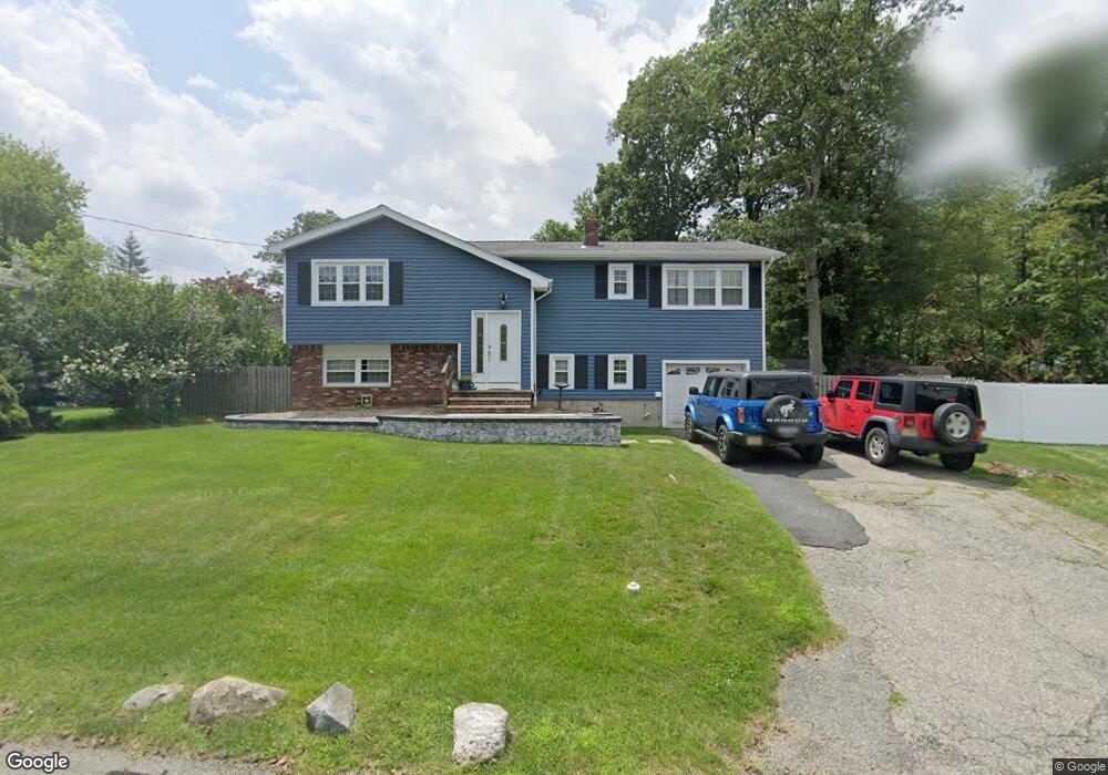
4 Dupont Ave Hopatcong, NJ 07843
Estimated Value: $451,196 - $557,000
--
Bed
--
Bath
1,714
Sq Ft
$289/Sq Ft
Est. Value
About This Home
This home is located at 4 Dupont Ave, Hopatcong, NJ 07843 and is currently estimated at $495,299, approximately $288 per square foot. 4 Dupont Ave is a home located in Sussex County with nearby schools including Hudson Maxim Elementary School, Durban Avenue Elementary School, and Tulsa Trail Elementary School.
Ownership History
Date
Name
Owned For
Owner Type
Purchase Details
Closed on
Sep 22, 2003
Sold by
Green Michael
Bought by
Green Michael and Criscione Janna
Current Estimated Value
Purchase Details
Closed on
Mar 21, 2003
Sold by
Hess Patricia
Bought by
Green Michael
Home Financials for this Owner
Home Financials are based on the most recent Mortgage that was taken out on this home.
Original Mortgage
$203,392
Outstanding Balance
$87,438
Interest Rate
5.88%
Mortgage Type
FHA
Estimated Equity
$407,861
Create a Home Valuation Report for This Property
The Home Valuation Report is an in-depth analysis detailing your home's value as well as a comparison with similar homes in the area
Home Values in the Area
Average Home Value in this Area
Purchase History
| Date | Buyer | Sale Price | Title Company |
|---|---|---|---|
| Green Michael | -- | Fidelity Natl Title Ins Co N | |
| Green Michael | $205,000 | Fidelity National Title Ins |
Source: Public Records
Mortgage History
| Date | Status | Borrower | Loan Amount |
|---|---|---|---|
| Open | Green Michael | $203,392 |
Source: Public Records
Tax History Compared to Growth
Tax History
| Year | Tax Paid | Tax Assessment Tax Assessment Total Assessment is a certain percentage of the fair market value that is determined by local assessors to be the total taxable value of land and additions on the property. | Land | Improvement |
|---|---|---|---|---|
| 2025 | $7,919 | $379,800 | $130,800 | $249,000 |
| 2024 | $7,029 | $379,800 | $130,800 | $249,000 |
| 2023 | $7,029 | $200,900 | $70,500 | $130,400 |
| 2022 | $6,891 | $200,900 | $70,500 | $130,400 |
| 2021 | $6,774 | $200,900 | $70,500 | $130,400 |
| 2020 | $6,704 | $200,900 | $70,500 | $130,400 |
| 2019 | $6,676 | $200,900 | $70,500 | $130,400 |
| 2018 | $6,662 | $200,900 | $70,500 | $130,400 |
| 2017 | $6,652 | $200,900 | $70,500 | $130,400 |
| 2016 | $6,666 | $200,900 | $70,500 | $130,400 |
| 2015 | $6,515 | $200,900 | $70,500 | $130,400 |
| 2014 | $6,493 | $200,900 | $70,500 | $130,400 |
Source: Public Records
Map
Nearby Homes
- 59 Hopatchung Rd
- 8 Cornell Way
- 315 Santa fe Trail
- 134 Monroe Trail
- 802 Brooklyn Mountain Rd
- 151 Monroe Trail
- 109 Durban Ave
- 328 Tulsa Trail
- 104 Chincopee Ave
- 176 Monroe Trail
- 11 Bucknell Way
- 125 Jefferson Trail
- 17 Coolidge Trail
- 226 Chincopee Ave
- 221 Chincopee Ave
- 626 Brooklyn Mountain Rd
- 5 Geneva Trail
- 335 Elmira Trail
- 332 Elmira Trail
- 5 W Unit 204
- 108 Bell Ave
- 102 Bell Ave
- 6 Dupont Ave
- 109 Monroe Trail
- 110 Bell Ave
- 3 Dupont Ave
- 115 Monroe Trail
- 107 Monroe Trail
- 112 Bell Ave
- 117 Monroe Trail
- 10 Dupont Ave
- 110 Monroe Trail
- 116 Monroe Trail
- 116 Monroe Trail Unit 2
- 63 Hopatchung Rd
- 114 Bell Ave
- 3 Ford Ave
- 119 Monroe Trail
- 12 Dupont Ave
- 2 Pennsylvania Way