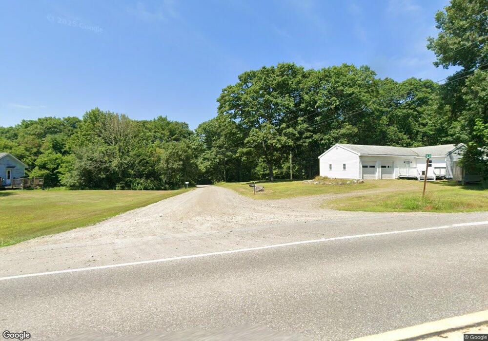
4 Elm Ln Windsor, ME 04363
Estimated Value: $320,000 - $438,000
3
Beds
2
Baths
1,952
Sq Ft
$200/Sq Ft
Est. Value
About This Home
This home is located at 4 Elm Ln, Windsor, ME 04363 and is currently estimated at $391,105, approximately $200 per square foot. 4 Elm Ln is a home located in Kennebec County with nearby schools including Windsor Elementary School, Crown Regional School, and Erskine Academy.
Ownership History
Date
Name
Owned For
Owner Type
Purchase Details
Closed on
Oct 27, 2016
Sold by
Morehouse Jana R
Bought by
Scott Jonathan F and Scott Diane
Current Estimated Value
Home Financials for this Owner
Home Financials are based on the most recent Mortgage that was taken out on this home.
Original Mortgage
$185,000
Outstanding Balance
$148,102
Interest Rate
3.5%
Mortgage Type
Commercial
Estimated Equity
$243,003
Create a Home Valuation Report for This Property
The Home Valuation Report is an in-depth analysis detailing your home's value as well as a comparison with similar homes in the area
Home Values in the Area
Average Home Value in this Area
Purchase History
| Date | Buyer | Sale Price | Title Company |
|---|---|---|---|
| Scott Jonathan F | -- | -- | |
| Scott Jonathan F | -- | -- |
Source: Public Records
Mortgage History
| Date | Status | Borrower | Loan Amount |
|---|---|---|---|
| Open | Scott Jonathan F | $185,000 | |
| Closed | Scott Jonathan F | $185,000 |
Source: Public Records
Tax History Compared to Growth
Tax History
| Year | Tax Paid | Tax Assessment Tax Assessment Total Assessment is a certain percentage of the fair market value that is determined by local assessors to be the total taxable value of land and additions on the property. | Land | Improvement |
|---|---|---|---|---|
| 2024 | $3,374 | $366,700 | $37,900 | $328,800 |
| 2023 | $2,872 | $198,100 | $19,800 | $178,300 |
| 2022 | $2,714 | $198,100 | $19,800 | $178,300 |
| 2021 | $2,575 | $198,100 | $19,800 | $178,300 |
| 2020 | $2,536 | $198,100 | $19,800 | $178,300 |
| 2019 | $2,516 | $198,100 | $19,800 | $178,300 |
| 2018 | $2,555 | $198,100 | $19,800 | $178,300 |
| 2017 | $2,536 | $198,100 | $19,800 | $178,300 |
| 2016 | $2,516 | $198,100 | $19,800 | $178,300 |
| 2015 | $2,357 | $198,100 | $19,800 | $178,300 |
| 2014 | $2,575 | $198,100 | $19,800 | $178,300 |
| 2013 | $2,615 | $198,100 | $19,800 | $178,300 |
Source: Public Records
Map
Nearby Homes
- 57 Elm Ln
- Lot 38-D Choate Rd
- 282 Pierces Point Rd
- 20 Pitt Rd
- 140 Ingraham Rd
- 158 Park Ln
- 3 Elmwood Ave
- 329 Reed Rd
- 24 Taylor Rd
- 216 Windsor Neck Rd
- 16 Lamson Rd
- 3 Howards Ln
- 368 Windsor Rd
- 263 Rockwood Dr
- 335 Weeks Mills Rd
- 14 King Rd
- 283 Weeks Mills Rd
- 19 King Rd
- 146 Lone Indian Trail
- 89 Lone Indian Trail Lot 4-A111 Trail