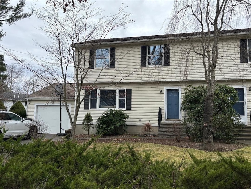
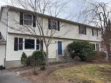
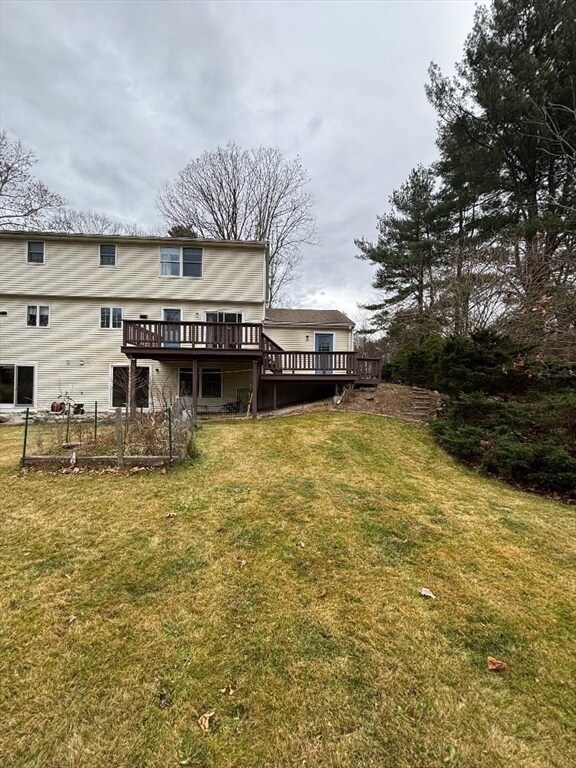
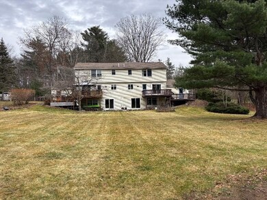
4 Elm St Unit A Medway, MA 02053
Highlights
- Medical Services
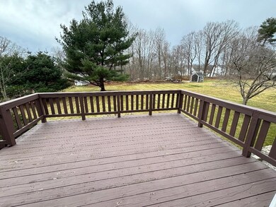
- Deck
- No HOA
- John D. McGovern Elementary School Rated A-
- Property is near public transit
- Jogging Path
About This Home
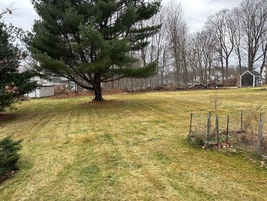
Location! Location! Half duplex close to shopping, gym, restaurants and more! Enjoy 1500 sq ft of living space with 3 bedrooms, 1 1/2 baths, and an unfinished basement for storage! Oversized yard in a great neighborhood!Available January 2026.
Property Details
Home Type
- Multi-Family
Est. Annual Taxes
- $3,996
Year Built
- Built in 1980
Parking
- 1 Car Garage
Home Design
- Property Attached
- Entry on the 1st floor
Interior Spaces
- 1,500 Sq Ft Home
- Basement
- Laundry in Basement
Kitchen
- Range
- Microwave
- Dishwasher
- Disposal
Flooring
- Laminate
- Vinyl
Bedrooms and Bathrooms
- 3 Bedrooms
- Primary bedroom located on second floor
- Bathtub with Shower
Laundry
- Dryer
- Washer
Outdoor Features
- Deck
Location
- Property is near public transit
- Property is near schools
Utilities
- No Cooling
- Electric Baseboard Heater
Listing and Financial Details
- Security Deposit $3,100
- Property Available on 1/1/26
- Rent includes trash collection, parking
- 12 Month Lease Term
- Assessor Parcel Number 3165089
Community Details
Overview
- No Home Owners Association
Amenities
- Medical Services
- Shops
- Coin Laundry
Recreation
- Park
- Jogging Path
- Bike Trail
Pet Policy
- No Pets Allowed
Map
Source: MLS Property Information Network (MLS PIN)
MLS Number: 73459783
APN: MEDW-000048-000000-000039-C000000-A
Disclaimer: Certain information contained herein is derived from information provided by parties other than Homes.com. All information provided is deemed reliable, but is not guaranteed to be accurate and should be independently verified.
![]() The property listing data and information, or the Images, set forth herein were provided to MLS Property Information Network, Inc. from third party sources, including sellers, lessors and public records, and were compiled by MLS Property Information Network, Inc. The property listing data and information, and the Images, are for the personal, non-commercial use of consumers having a good faith interest in purchasing or leasing listed properties of the type displayed to them and may not be used for any purpose other than to identify prospective properties which such consumers may have a good faith interest in purchasing or leasing. MLS Property Information Network, Inc. and its subscribers disclaim any and all representations and warranties as to the accuracy of the property listing data and information, or as to the accuracy of any of the Images, set forth herein.
The property listing data and information, or the Images, set forth herein were provided to MLS Property Information Network, Inc. from third party sources, including sellers, lessors and public records, and were compiled by MLS Property Information Network, Inc. The property listing data and information, and the Images, are for the personal, non-commercial use of consumers having a good faith interest in purchasing or leasing listed properties of the type displayed to them and may not be used for any purpose other than to identify prospective properties which such consumers may have a good faith interest in purchasing or leasing. MLS Property Information Network, Inc. and its subscribers disclaim any and all representations and warranties as to the accuracy of the property listing data and information, or as to the accuracy of any of the Images, set forth herein.
- 22 Sunset Dr
- 176 Main St Unit 3
- 14 Heritage Dr
- 280 Village St Unit D2
- 28 Wellington St
- 4 Shaw St
- 36 Lovering St
- 12 Lovering St
- 3 Meryl St
- 106 Holliston St
- 220 Main St Unit 220
- 5 Fales St
- 50 Main St
- 21 Riverside Rd
- 6 Freedom Trail
- 20 Broad St Unit 6
- 20 Broad St Unit A
- 20 Broad St Unit 4
- 9 Sanford St
- 0 Elm St
- 31 Wellington St Unit 1
- 31 Wellington St Unit 2
- 192 Main St Unit D
- 39 Main St
- 16 Barber St
- 146 Village St Unit 3
- 123 Summer St
- 15 Hawthorne Village Unit D
- 685 Pond St Unit B
- 120 Goulding St Unit A
- 114 Milford St Unit 2
- 114 Milford St Unit 1
- 337 Village St
- 1060 Main St
- 4 Meadowview Ln
- 73 Zain Cir Unit 73
- 10 Milliston Rd
- 809 Franklin Crossing Rd Unit 809
- 17 Birch St
- 27 Kodiak Ln Unit 27
